MAPATHON AT YALI REGIONAL LEADERSHIP CENTER
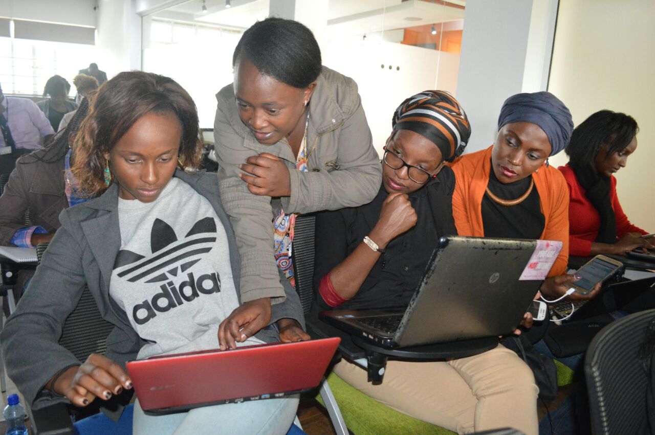
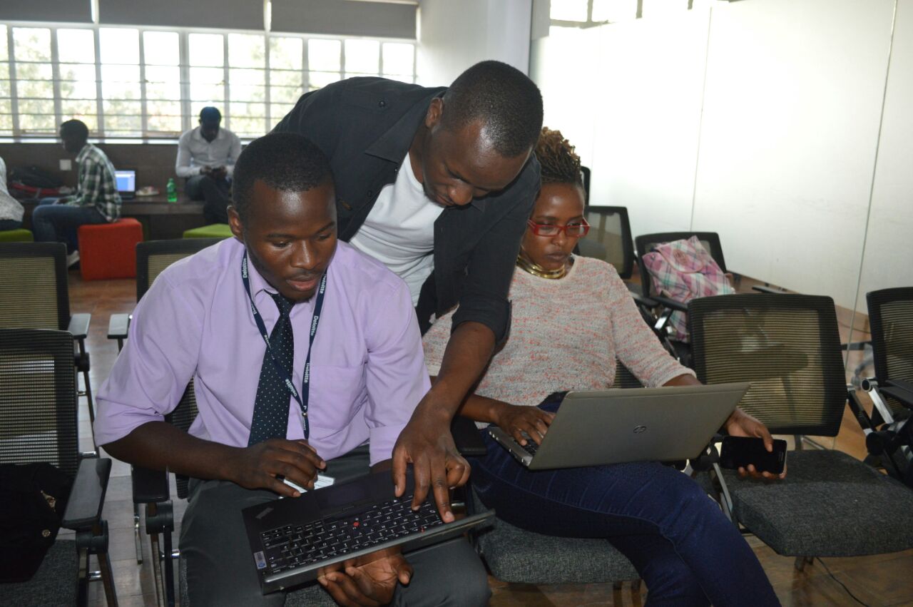
A Mapathon was held at Young African Leadership Initiative Regional Leadership Center in Kenyatta University, Kenya on June 27, 2017. It brought together Youth Mappers and participants from YALI Alumni, The University of Nairobi, Dedan Kimathi University, Jomo Kanyatta University of Agriculture and Technology and Kenyatta University. The event was facilitated by Map Kibera Trust and hosted by YALI.
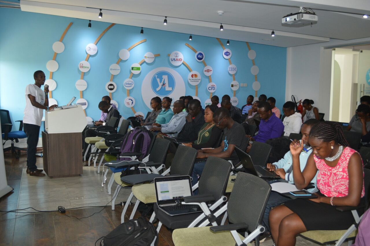
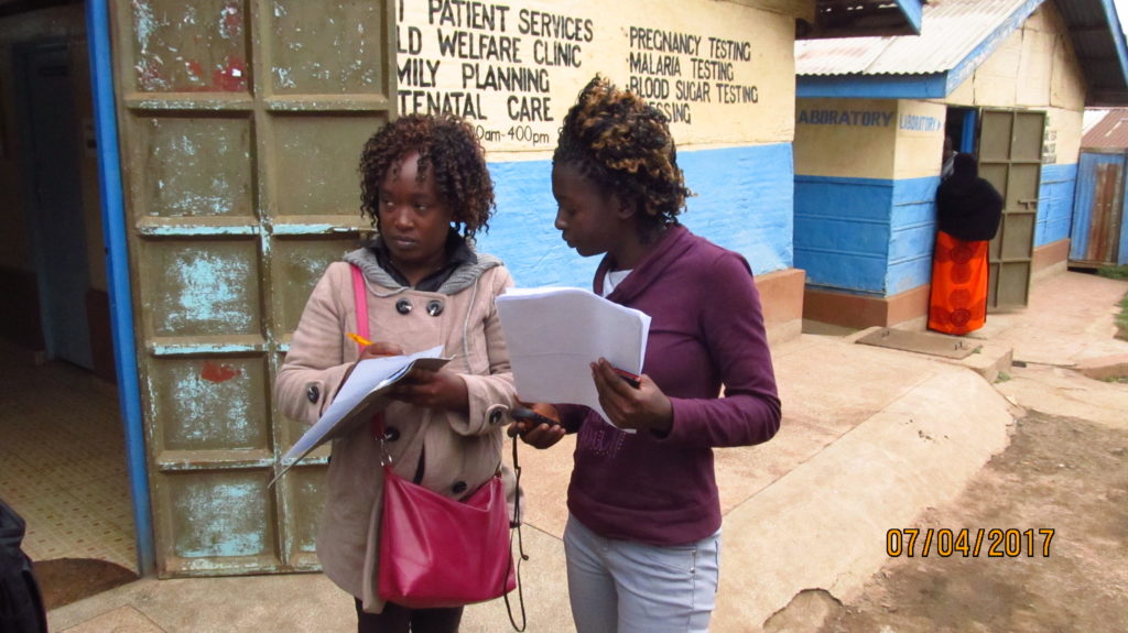
The Mapathon was aimed towards contributing in a mapping project to assist in the fight against AIDS and Malaria in Siaya (Bondo) using OpenStreetMap. The Mapathon is designed to improve availability of geographic data for programs supported by PEPFAR, (U.S. President’s Emergency Plan for AIDS Relief). The Mapathon also took place in advance of a high level conference in Nairobi on Data for Sustainable Development in Africa which was organized by The Global Partnership for Sustainable Development, which brought together participation of senior government officials across the region and globally.

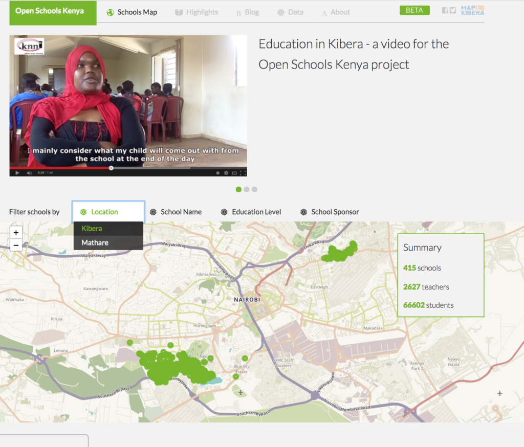
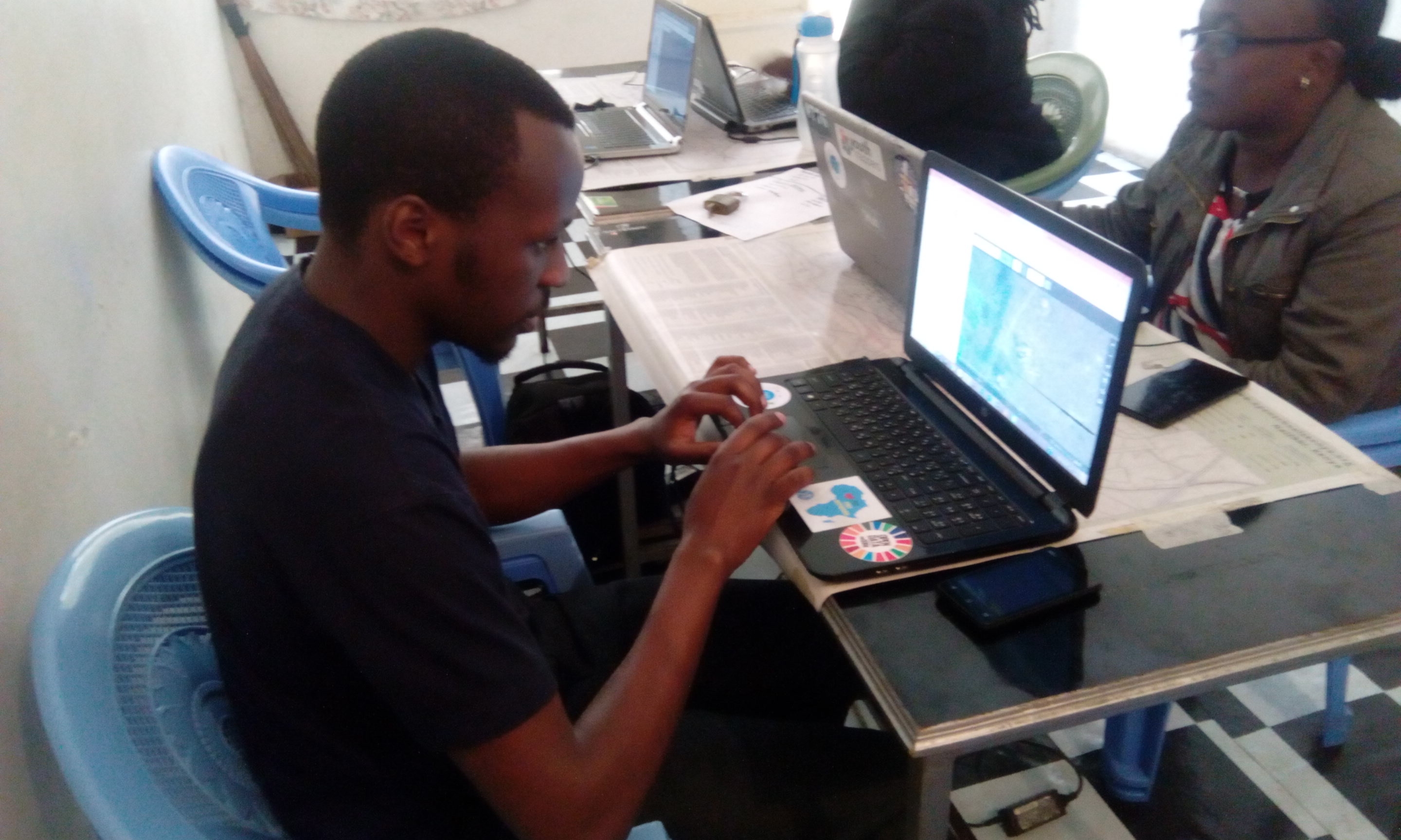
What is a Mapathon? It is a coordinated mapping event where the public is invited to make online map improvements in their local areas as well as areas across borders to improve coverage and help in areas such as disaster risk assessment. Mapathons basically use online sites for storing map data. In our case we use OpenStreetMap. Mapathons also help in contributing to missing maps as well as being a unique and engaging opportunity for volunteers to digitally connect and map most vulnerable places in the developing world, so that the local and international NGOs can use these comprehensive maps and data to better respond to crises affecting these areas.

HIGH LEVEL MEETING FOR DATA AND DEVELOPMENT IN AFRICA
The world is rapidly changing especially towards Information and Technology. To run societies effectively, governments and all stakeholders are increasingly working towards getting quicker solutions to highlight and solve societal problems. This has been made easier by the use of data in order to capture , store, analyze and present different parameters of interest in different sectors of economies and society. Data has therefore been embraced with this respect.
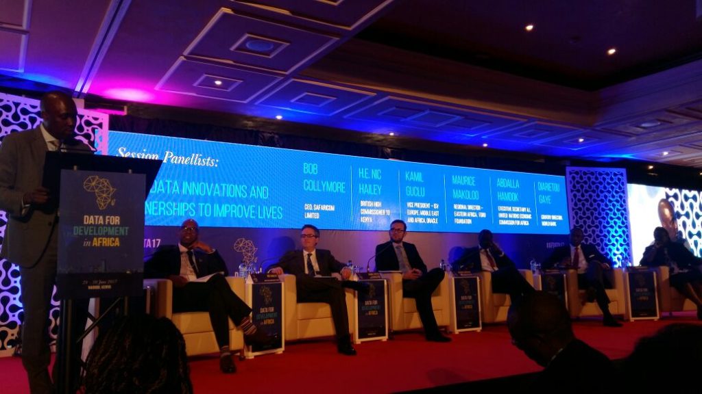
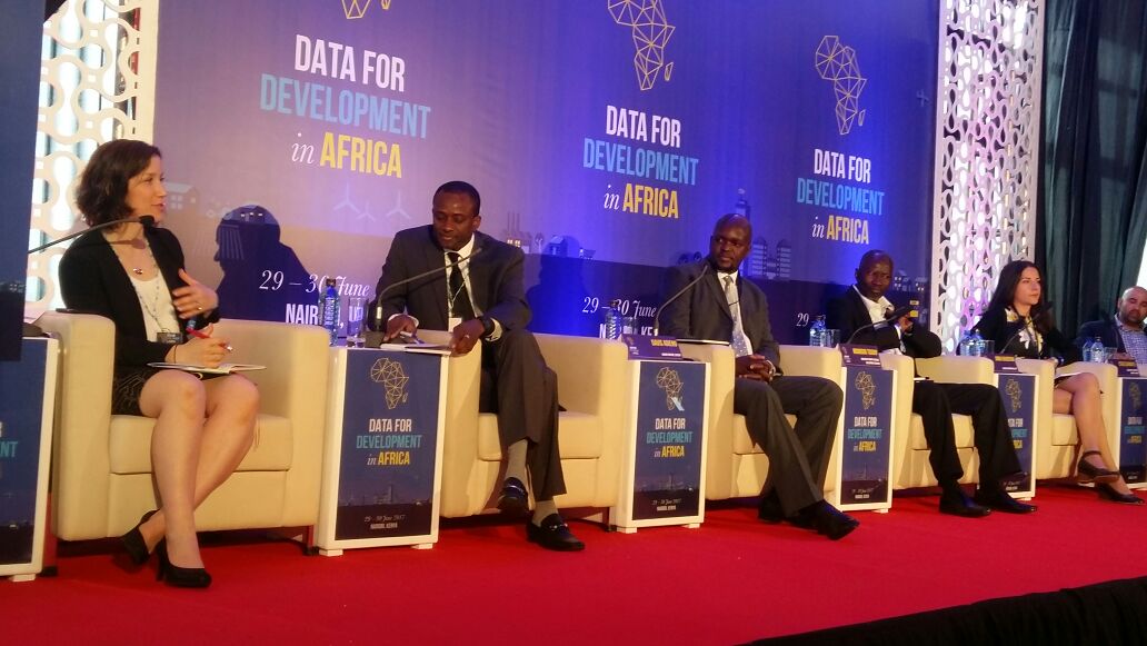
Data for Development in Africa was an important meeting that saw different governments and institutions come together in order to create a common ground to be able to achieve Sustainable Development Goals, that offer a pathway for countries, especially developing ones, to achieve development at both Economic and Social levels. The meeting was held for two days 29th-30th June 2017 in Nairobi. The theme was ‘Unleashing the Power of Data & Partnerships for Africa’. Among the key topics of the day were: Data for Agriculture, Livelihoods and Economy; Using data innovations and partnerships to improve lives; Mainstreaming data innovation at National level; Accessing vital services; data that leaves no- one behind; New skills for new data needs; developing home grown talent; Developing Institutional and Human capabilities. In line with the topics of the day, the first day of the meeting saw the various speakers highlight how data was central in service delivery, research work and generally on addressing human and environmental issues. African countries were the best example as they offered insight to the use of data at both local and national level.

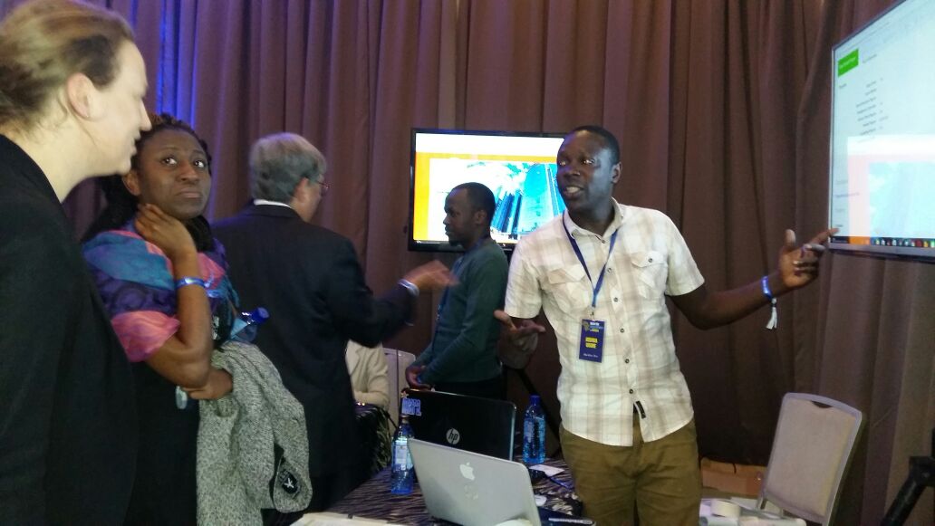
The second day of the meeting focused on the implementation of the data revolution as the multi-stakeholder panel discussed with the audience on how tools, technologies, hubs and approaches to take forward the discussion from the previous day. Different organizations were also given the opportunity to showcase their work with respect to the use of data in highlighting and addressing societal challenges for the realization of development in Africa. This saw our organization, Map Kibera Trust, attract positive attention on our effort to map social amenities in the slums of Kibera and basically offering great insight to the gradual development of the region over the past decade. This was also a great opportunity to share our partnership and joint works with the Youth Mappers in the recent past, and showcase our assistance in mapathons especially towards the fight against the spread of HIV & AIDS, environmental disasters and malaria.

We thank The Government of Kenya and The Global Partnership For Sustainable Development for facilitating the High Level meeting. It is through such efforts that a common ground is created to allow for the bridging of gaps between Public, Private and Non Governmental Organizations to work towards a common goal.
Guest post by Phylister Mutinda and Peter Agenga from University of Nairobi Youth Mappers