A busy end to 2011!

by: January 13th, 2012 comments: 0

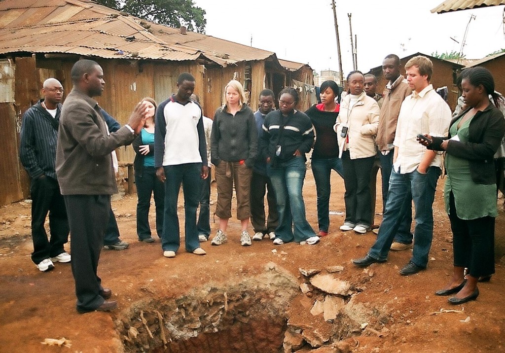
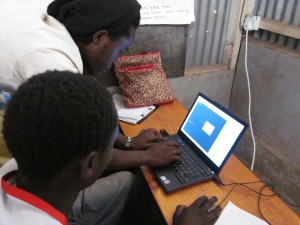
The Map Kibera team had a busy end to 2011. From August to the end of December 2011, we have been involved in projects in Kibera, Mukuru (Nairobi), Kwale (Coast) and Dar es Salaam (Tanzania). Mappers from Kibera have travelling across the city, country and even regionally to share their skills with other young people in East Africa. They trained approximately 40 young people in Mukuru, 30 in Kwale and students from Ardhi University in Dar es Salaam. This networking and sharing is beginning to create an informal network of young people, with skills, experience and passion for mapping for change. Although they are not always working in Kibera, the exposure the mappers get also helps to continue to “put Kibera on the map.”

Work on the atlases and wall painting for Kibera is also ongoing. The final edits are underway and 2012 will be busy for the team – producing an atlas distribution strategy, contacting partners for atlas request, visiting schools and health clinics and painting walls! Of course, the team will also gather feedback and document the process to being to better understand how community information can lead to change.

As we move into 2012, the Map Kibera team wishes you a wonderful start to the new year!

Building community resilience, because it’s not if but when

by: September 15th, 2011 comments: 1

Training youth mappers in Mukuru

It’s not if but when, And the when took place this Monday morning. A KPC pipeline – that runs through Nairobi’s informal settlement of Mukuru – exploded, taking with it the lives of 95+ people who live, work, school and play near in one of the marginal areas of the sprawling metropolis of Nairobi city.

Kenyans have been discussing the pipeline disaster and have been analyzing the factors that led up to the event. On Tuesday, both the Standard and the Daily Nation ran 11 pages of coverage of the event. It’s not surprising that journalists have in the past covered the precarious situation residents of the Sinai village face. There is often coverage of other dangerous conditions Nairobi residents live in – such as those living along the railway or high voltage power line in Kibera, or the polluted river in Mathare, or the dumping site in Dandora.

Many are not aware that the Sinai village (referred to in the media as Sinai slum or Lunga Lunga slum) is one village in the larger informal settlement of Mukuru. Mukuru is located in Nairobi’s industrial area. Access to the area is facilitated by roads that lead along the backs of factories and warehouses and industrial workvsites. The dangers of living in Mukuru slum are apparent as factories bellow out smoke, trucks carrying hazardous materials rumble by and pipes and electrical towers dot the landscape.

For the past 2 months, the Map Kibera Trust team have been working with youth in Mukuru. The “Map Mukuru” project began with funding from Unhabitat’s Youth Fund and interest from young people in Mukuru who we had worked with in 2010, with funding from HIV Free Generation.

The Map Kibera team has been engaged is a long-term process of skills building for young people in Nairobi’s informal settlements of Kibera, Mathare and now Mukuru. The Mukuru project is being run almost entirely by young mappers from Kibera – we’ve taken the opportunity of receiving the youth fund grant to push the Kibera youth to manage the project on their own and to exchange skills and learn from other young people.
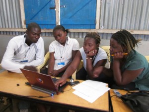
Maureen Omino from Kibera trains mappers in Mukuru

The team is saddened by the tragic event in Sinai. The event hit some of our mappers quite hard – they were in the field in the area of the blast the previous week and were thankful that we were inside, editing data at the time of the explosion. None of the mappers were injured during the explosion but some lost friends in the fire and we send our condolences to the families and friends of the victims.

Our mapping work however is not a reaction to any singular event – it is a long-term effort aimed at amplifying the voices of residents of informal settlements. Our mission is to increase their representation and influence in decision making processes. By training young people as mappers and digital storytellers, we hope we are contributing to community resilience, not just to respond to disasters like the Sinai fire tragedy, but to ultimately reduce the risk to resident in informal settlements through identifying solutions to ongoing problems and dangers in the local environment.
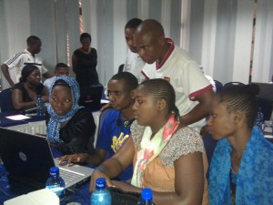
Engaging Community Stakeholders

by: September 10th, 2011 comments: 2

This is a short follow-up on the blog post which I posted couple of months ago titled Doing the other 90% in Kibera. In the post I talked about the possible strategy of the Map Kibera Trust: “The Trust’s role will be a steady supplier of information and the communities, NGO’s, government etc. the implementer of activities”. Stakeholder involvement is crucial to ensure that the data is useful!

Since then we’ve met several stakeholders who have expressed interest in collaborating with the Trust. Two of them were Water and Sanitation for the Urban Poor (WSUP) and Kenya Water for Health Organization (KWAHO). We held couple of meetings to determine the content to be collected, conducted several field visits and eventually mapped the facilities and collected the information required by both organizations.

Peter Murigi, project manager at WSUP in Kenya talking to mappers and UN-Habitat visitors

Under my mentorship, Zach – one of the mappers at the Trust – then created two maps for WSUP and a map for KWAHO. We also provided a file (an excel spreadsheet) with all the information collected.

Left: WSUP toilet; Right: KWAHO water points

Excerpt of data collected

I still believe that the Trust’s role should be the information supplier – sort of an information center within the community, and in working with KWAHO and WSUP I see a lot of potential to not only make our maps accessible to community members, but also to the organizations that are working on specific areas to improve the community.

In the past year my colleague Jamie and I have been refining our model and approach to improve upon the organization’s approach to community involvement and interactions. We’ve come a long way, and our experiences with WSUP and KWAHO demonstrate the potential for this approach.

Cross-posted from Mapping: (No) big deal