A post by Map Kibera team member, Steve Banner, originally posted on the Voice Of Kibera blog.
“If you play your part, and you play it to your level best, then your gift will surely open more doors for you,” observed one Fred Ogutu, Hope Academy director.
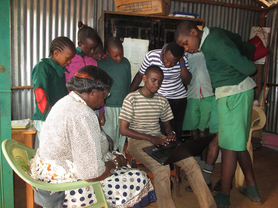
St. Stephene school students and teachers view their school profile online.
We started our distribution on the Langata constituency part of Kibera, that is Raila village. Kibera is spread over two constituencies, Kibra and Langata constituencies, with Kibra having the biggest portion.
All the schools in Raila village had a very positive approach to the map, and the site. They very much welcomed it despite the fact that some of them were a bit reluctant to give out information during the previous data collection.

Map Kibera member Zack Wambua shares the map with Maono Secondary School
Joy and excitement may have sent the Maono Secondary School head teacher the religious lecturer way, telling us that these are the end times and why everyone needs to repent and get ready to receive Christ when he comes. He did that for a few minutes then went ahead to tell us how the school will now use the Open Schools website as their official website.
At St. Stephene school, the head teacher even offered us a job, to help her draft the 2015 school activity plan that she intended to send to her donors together with a link to their page in the Open Schools Kenya website.
Hope Academy school director, Mr. Fred Ogutu, having featured in almost all our previous Project phases including the pre-project survey, was now well informed about what we are doing and congratulated us a lot on the good work done so far. He had a lengthy talk with us telling us that Kibera is a slum that has so much been misrepresented, with a lot of false data out there, he cited an example of the current Government-driven National Youth Service project which has, to use his own words, been blown out of proportion yet none of the clinics and toilets that the government seems to boast about are functional.
He observed that our data is one of the few genuine ones and wondered if the work we do also translate to helping us personally besides fighting to change our community. ‘Are you able to put food on the table and pay your rents?’ he posed a question.
In other villages, that is Katwekera, Kisumu Ndogo, Kambi Muru and Makina, the reception was equally good. We did manage to take fresh photos for FPFK Gatwekera school .
At Joseph Kangethe School, which is one of the two public schools that my colleague Zack and I were assigned to, had a very nice view of the map, The deputy head teacher asked us to come up with forums to educate parents in Kibera on the need to take their children to public schools. She said, contrary to what most parents expressed in the pre-survey, that public schools are being deserted and parents are flooding the non-government schools leaving the government schools with empty classes. “Public schools that had four streams per class have now reduced to three streams. We’ve been forced to turn the extra classrooms to stores because there are no children.”
She also added that learning in public schools is far much better than private schools where children are ‘just drilled and not taught’.
‘What is the government doing about that? And what are you as Map Kibera, in your education project doing about that?’ were her last questions.
Stephene ‘Steve Banner’ Oduor
Map Kibera Trust