Having been the first organization to put the entire Kibera slums on the world map, Map Kibera Trust; an organization that seeks to be a hub where access to open information contributes to positive community transformation was on the road again to ensure that the maps that were produced reached the community which in-turn would put them to use.
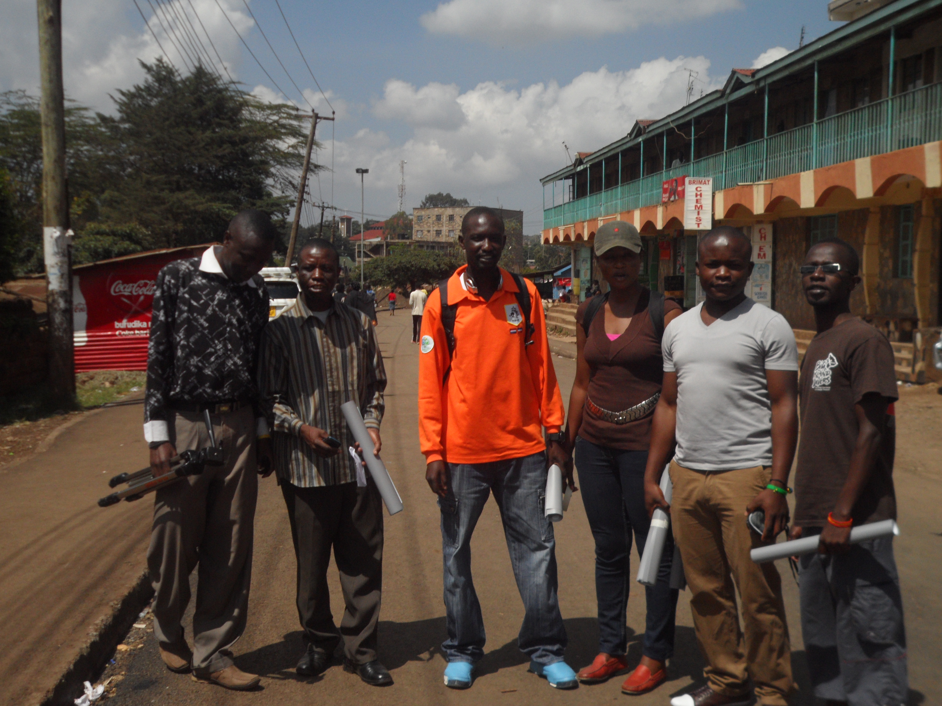
To achieve this, the program coordinators met for the preparation of distributing the maps; there intention of meeting was to bring the attention of the three programs on how they will be working together towards achieving the objective of the exercise and to come up with relevant locations for maps distribution. It was there that they agreed that members from the 3 programs; Mapping, Voice of Kibera and Kibera News Network were to go to the field to distribute the maps which had been developed based on themes. Maps on Education, Security and Health are the themes that were distributed.
The aim of the exercise was to give back to the community through the high quality printed maps that contain the informational that came from them during the first phase of the mapping exercise.
Villages covered.
For the 2 days that we were in the field, we were able to cover all the 13 villages; Gatwikera, Raila, Olympic, Soweto west&east, Kianda, Kambi muru, Kisumu ndogo, Lindi, Mashimoni, Makina, Silanga, and Laini Saba.  Â
Positive Feedback From the Field.
As we visited different places, we collected feedback from the people we found so that we could ascertain how the maps will be put to good used.

- The local administration appreciated our work and accepted to be interviewed i.e. Sarang’ombe and Laina Saba ward chiefs.
- Most of the institutions accepted to use the map for positive transfiguration most of the institution wanted more than one map so they can use it for informational purposes as well as Education especially the Schools we visited.
- We even had a chance to meet with D.O 1 (District Commissioner) who had a compliment for us saying that our map was outstanding compared to the one they had before.
- For those who were not able to access our maps online were able to access them on hard-copy something that was important for us since it was now realized.
- We ensured equal distribution of maps in at least all villages in Kibera.
Some of the Challenges.
Though most of the places we went to were very receptive, we experienced some hostility in a few areas where we were thought to be a different group out to just take advantage of the situations in Kibera by walking around to talk to people as we take photos to go and sell. After a few minutes of sharing our intentions with them, they understood us and we gave out the maps, something they congratulated us for showing a good example to organizations by sharing the findings of the work done with the community. We also found some schools that were to get maps already closed for holiday which means we will have to give them the maps when they resume school.
Conclusion.
In general, the exercise was a success only for the schools that had already closed. Going forward, we need to print big and more visible maps a suggestion that came from one of the places we visited.

We hope that the maps distributed will not only be put to good use but also help Map Kibera Trust bond more with the community so that even as we get ready to cover the vents before, during and after the elections, we can work together to achieve optimum results and that Kibera and the other slums we are currently working with (Mathare and Mukuru) will never be the same again.
and if you’re curious, a little more detailed Report
and a video documentary by KNN


