As part of their ongoing support to Participatory Budgeting with support from the World Bank, last November, Map Kibera Trust trained community volunteers and county staff of West Pokot on mapping of county projects under the devolved system of governance; the main areas to map were Kapenguria and Mnagei Wards.

The idea behind the project was to create digitized maps that will be used for planning and decision making during Public Participation forums with the community members.
It was interesting to see how the youth, county officials and ward administrators actively participated in the training session and field exercise. Our training was very interactive and the trainees were very lively and vocal because the concept was still new to them. Others were even skeptical of the whole idea of paperless data collection and management.
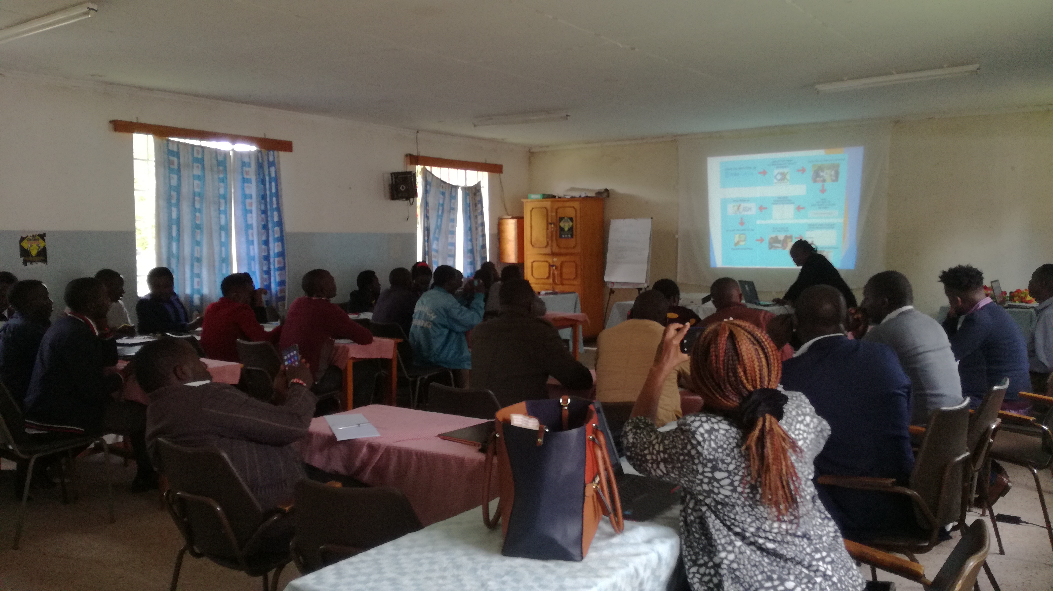
Since Map Kibera uses open data platforms, we took the trainees through account opening to enable them contribute to OpenStreetMap, where they would later upload their edited data. Having completed the training sessions on data collection and editing, which took a week, we proceeded with the actual data collection exercise. Each trainer from Map Kibera played a supervisory role to ensure the process was smooth and that the community mappers were able to collect accurate data. This meant joining up with different groups in the field at intervals.
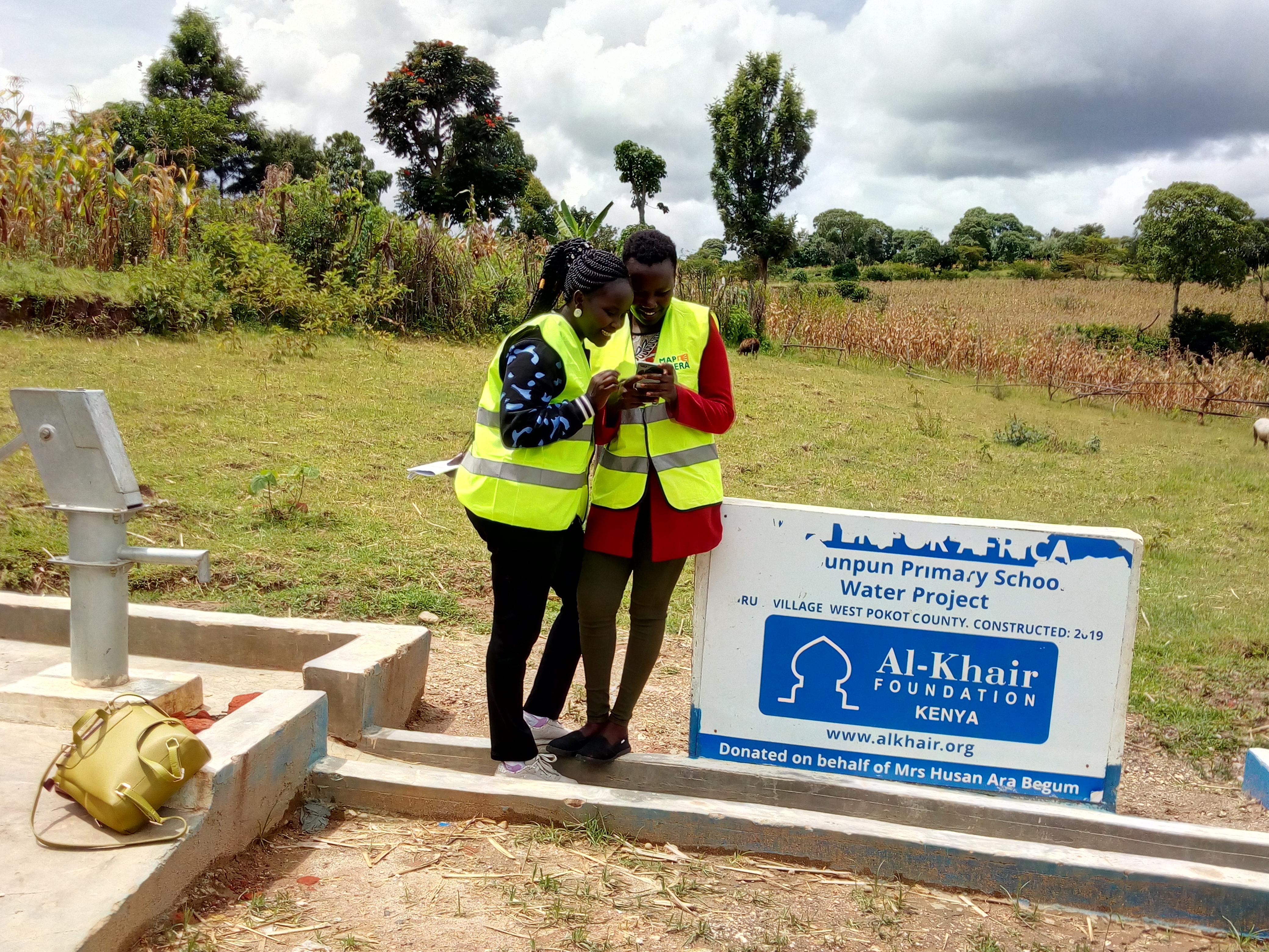
We also had to guide the team on how to fill in information from the project list that had project names, project information, project IDs and departments. The data included completion status of each project, photos, and assessment of the quality of the project as well as key observations and comments. Some of the projects included ECDE classroom construction, dispensaries, roads, water storage tanks, dams, etc. They also mapped other points of interest to help create the basemap.
In editing sessions, we took them through the process of using JOSM (Java OSM Editor), and it was interesting to see how they grasped the process the more edits they performed.
West Pokot is among the few counties that had been selected for this Participatory Budget mapping project sponsored by World Bank. We tried as much to be thorough in our work as trainers and facilitators and it is evident that the community mappers and volunteers grasped the teachings; some of them are still active contributors on OpenStreetMap.
Key Mapping Fellows will continue to be supported by Map Kibera Trust going forward, to ensure that they are able to keep updating the map and incorporating the data into their systems. A beta County Project website and printed versions of the maps have been shared as well.
