Open Schools Kenya is a great initiative that seeks to make data about schools available and meaningful to the public and stakeholders in the education sector through mapping. The idea initially started in Kibera and the rigorous mapping exercise saw slightly over 300 schools mapped in the region. What has followed ever since has been a success story. The mapping of schools has made it easier for parents to make informed choices when sending their children to school. The mapping of schools has also made it easier for the relevant authorities to know about and follow up with schools and contact them without having to hustle for their contact details like before.
Moving forward, Map Kibera was first in line to assist in the implementation of the same idea of mapping of schools in Kangemi with the generous support of Indigo Trust. Map Kibera offered training to participants from Kangemi to map their local schools, with support from many including the MP of Westlands Constituency, Hon.Timothy Wanyonyi, Evans Onchiri, the APBET (Alternative Provision of Basic Education) Coordinator for Kangemi, and the District Education Officer Julius Mburu.
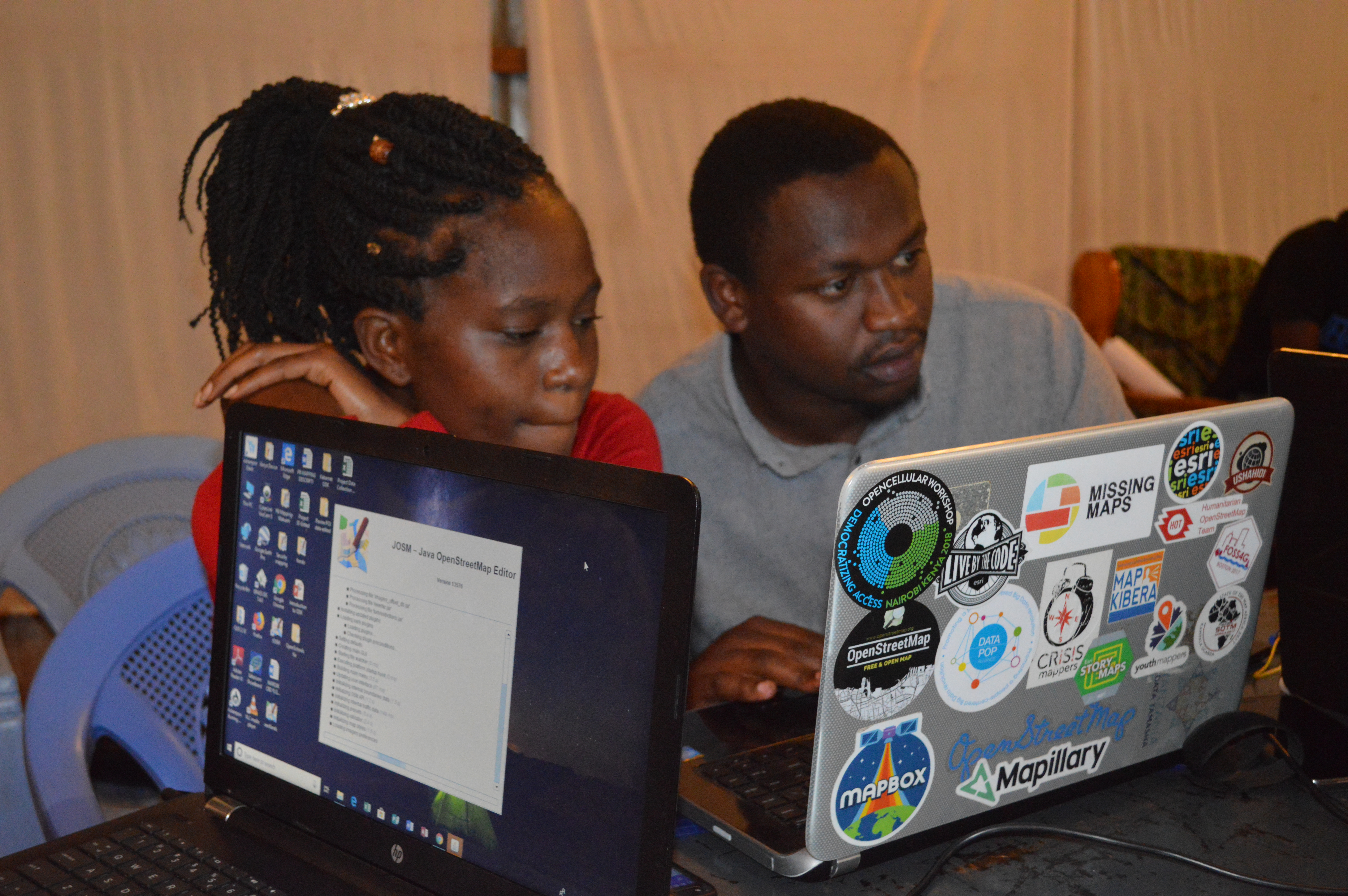
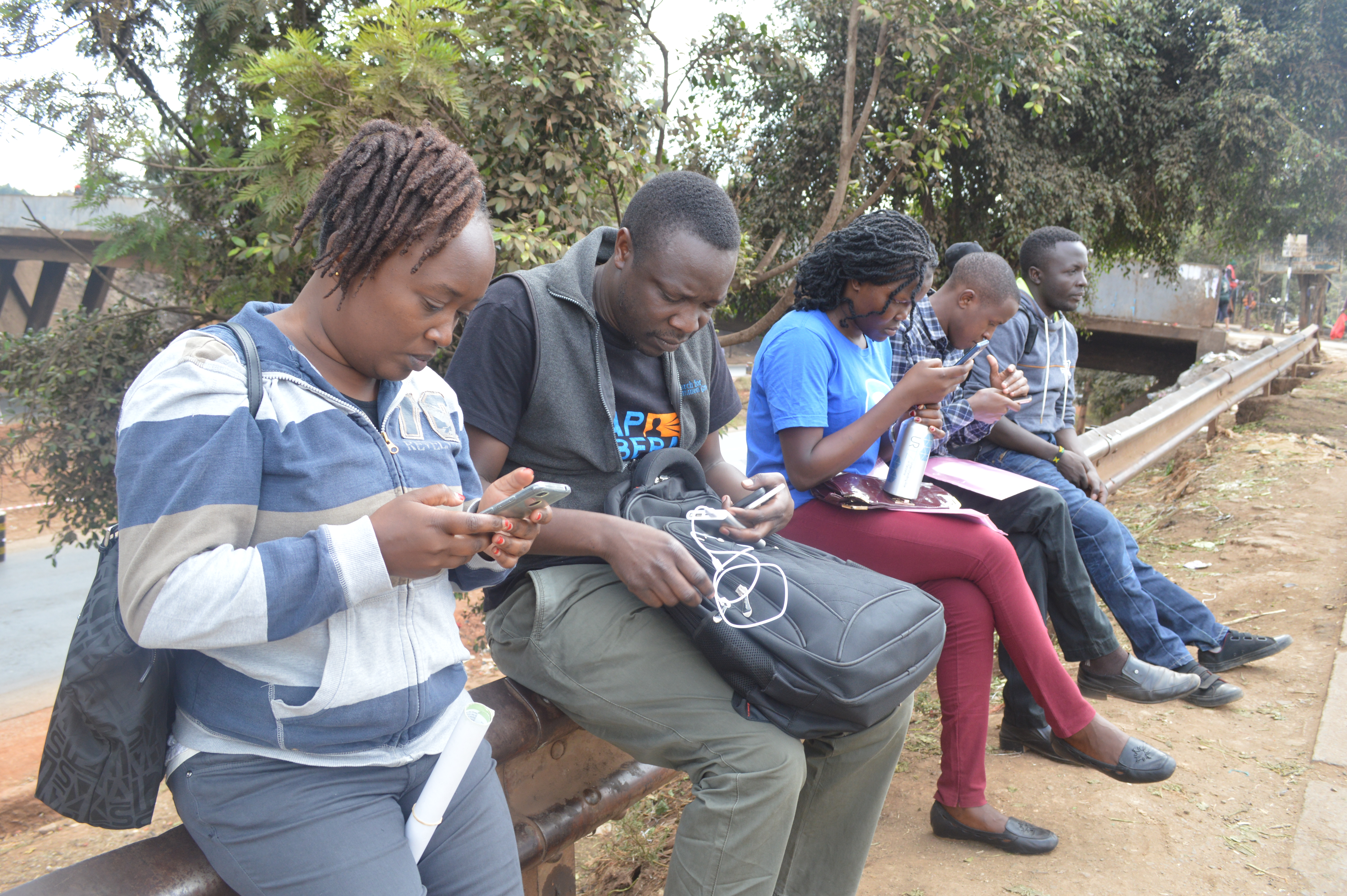
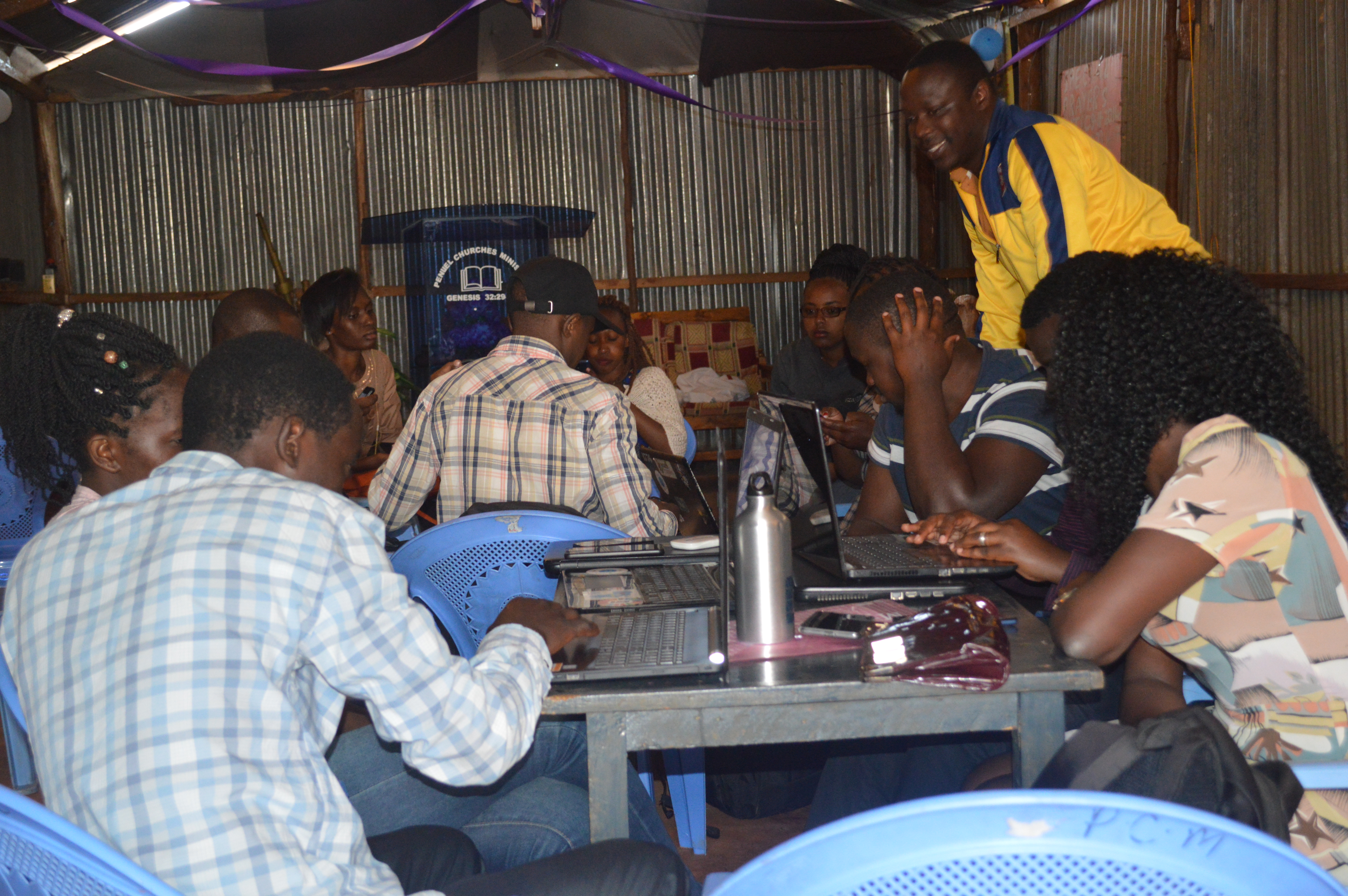 We had a total of twelve mappers with seven of them being locals from the region, and the rest from the Map Kibera team. Lead mapper from Kangemi was Sharon Adhiambo, who had previously worked with Map Kibera on trainings while a member of Youth Mappers at Moi University. The selected wards were Kangemi, Kitusuru, Mountain View, and Parklands. The training started on Thursday 13th of September and we proceeded to the next day taking the trainees through OpenStreetMap, Open Data Kit (ODK) and Java OpenStreetMap (JOSM).
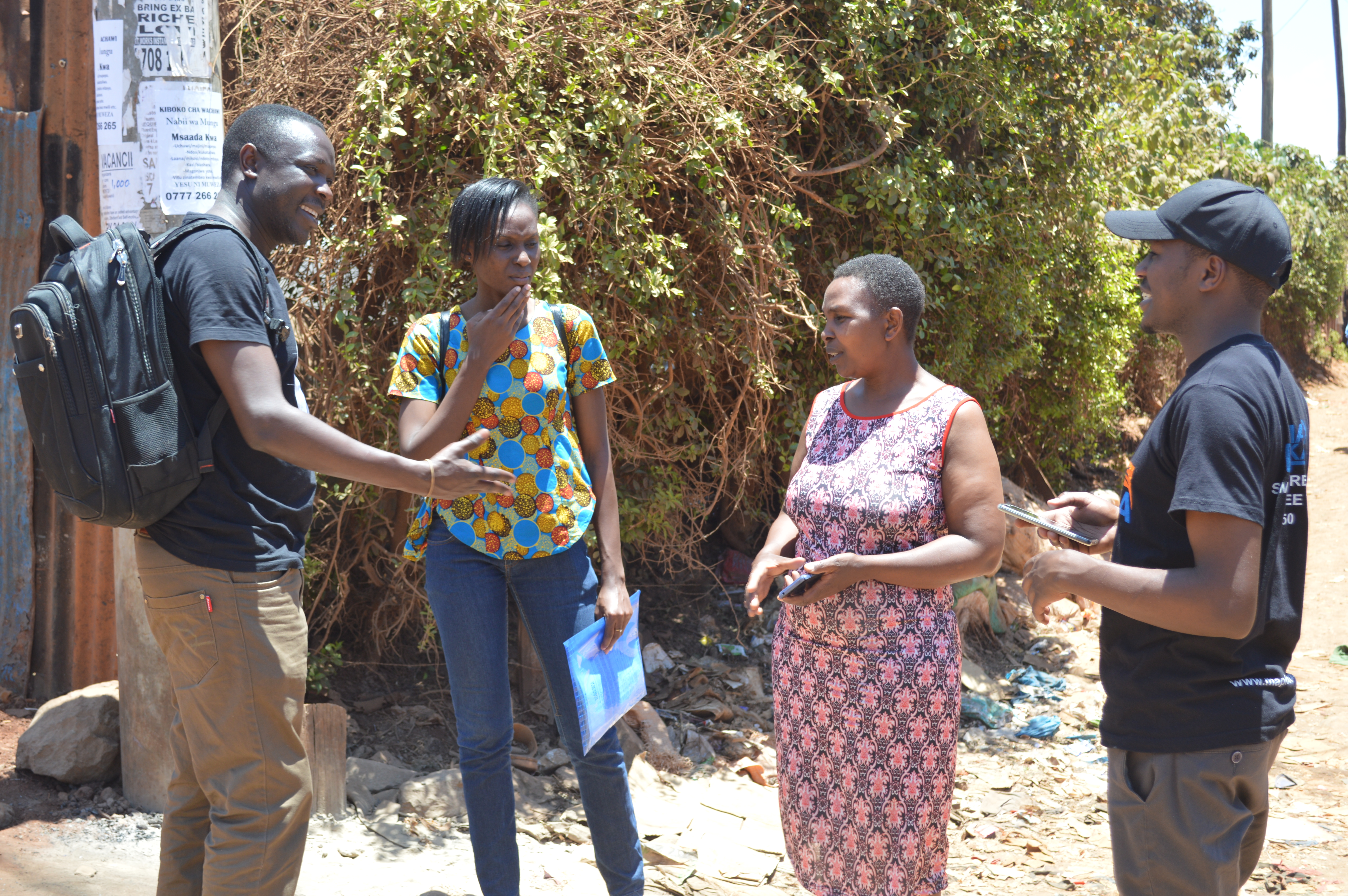 The mapping exercise commenced on Monday 17th September and each of the 6 teams was allocated a specific area to cover. The field work proceeded quite well and the mappers were well received in most of the schools they visited. The entire mapping exercise took a total of fourteen working days and despite the challenging task the mappers managed to cover all the schools in the designated wards. My team specifically mapped the highest number of schools since the schools were concentrated in the area. Â
With the support of the community and leaders, this exercise has already covered more than 250 schools which are now on OpenStreetMap, and will soon be added to the Open Schools Kenya website. Please check back for more updates soon!
Kangemi was never on anyone’s development map. Some other slums stole the limelight. Not any more, thanks to OpenSchoolsKenya.
We are now:
Delighted with the map of Kangemi that OpenSchoolsKenya has produced – and stunned by the data which is even more dramatic than we expected: only 5% children in government schools……
Dismayed that some education action centres didn’t know about the exercise while it was happening!
Hopeful that the map will be available online and that this wonderful action has already produced what we might call post-mapping action.
Who is spearheading this action ? and how to get ALL educationists involved? The next step must be to highlight these data in huge neon lights…..
We look forward to moving forward together and to gathering information on the few children still not attending any form of school in the Kangemi area while asking government how they can possibly continue business as usual while 95 %, yes 95%, of Kangemi children remain unreached by national education services.
I would be grateful to receive the Kangemi map by email. I support (technically) Kangemi Teachers’ Resource Centre. Thank you in advance.