by: primoz March 30th, 2011 comments:
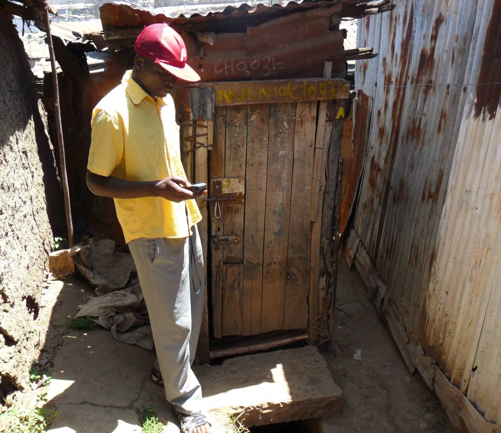
Jackson collecting a point in front of a toilet
The first phase of detailed water and sanitation data collection and editing is over. In two weeks our teams collected and edited 262 points including: 89 points with toilets, 108 water points and 65 open defecation areas.
What we learned from the numbers:
- The smaller number of toilets does not show the real picture as there can be many toilets at one point (we collected the number of units per point, but this is not reflected in the 89 figure).
- The number of open defecation areas is alarmingly high – there is almost the same number of toilet sites as there are open defecation areas – which clearly points to a lack of toilets.
- The number of toilets and water points will likely stay low because of the specific structure of Mathare: half of its buildings are high-rise apartment buildings that usually have toilets and water connections on every floor , which brings us to the next point:
- In order to get the real picture of the water and sanitation in Mathare, we need to figure out how to collect the data from these apartment buildings (it will need to be an inclusive approach, connecting community members, stakeholders, administration, government, etc.)
For the purpose of data editing we used basic mapping features to tag our points as amenities, like toilet and drinking water, and for ODAs we used the tag landuse-landfill. In addition to these basic features we added our own tagging scheme which we created so it coincided with the data collection forms.
There was some confusion here and there because of the massive amount of papers which contained the data of different points (something to think about in the future – how to get rid of the huge stocks of paper), but otherwise the data entry itself went well.
Here’s a detail from OSM showing all three features.
Phase two is already on under way.
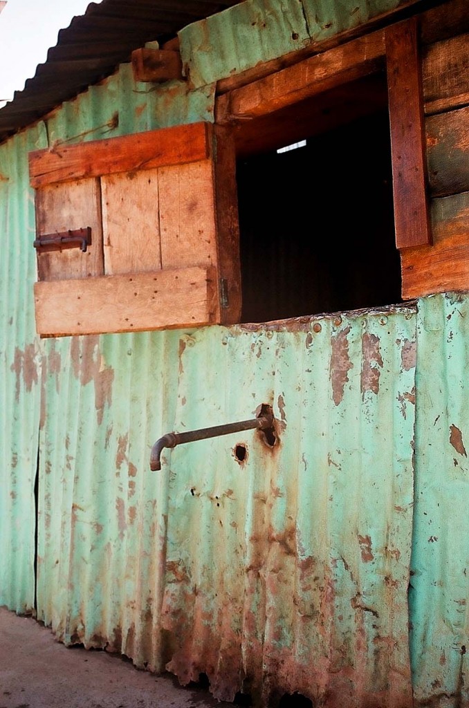
Water point
by: primoz March 3rd, 2011 comments:
Our teams have started with comprehensive thematic mapping of Water and Sanitation. Most of the things that we set out to map, such as water points and toilets, were pretty straightforward, but there were also some unknowns – like open defecation areas.
What is an open defecation area (ODA)? This is an area which is used by people to relieve themselves where there aren’t enough toilets for all or where people can’t afford to pay to use the toilet (more about it here). These areas are usually also dumping sites for “flying toilets†and other garbage, but mostly for excrement. People use them either early in the morning or late at night so others can’t see them.
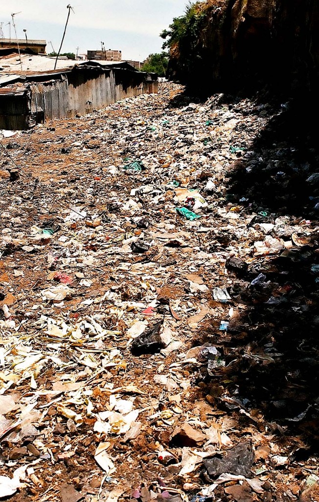
Open defecation area
We didn’t realize that this is such a big problem until we saw it with our own eyes. They are a huge health risk because they are usually situated in the middle of a very populated area and it is not an uncommon sight to see children playing near or even on top of them. They are also an indicator that something is terribly wrong with sanitation (especially toilets) in the slum.
So how do we map these areas? The first idea was to stand in the middle of the area and collect a point. We dismissed the idea as soon as we saw the expanse and the state of these areas. Most of our mappers come in flip flops and aren’t well equipped to walk there. So we decided we’re going to take a point near the ODAs, later search for the point with the help of satellite imagery and digitize the area. This way we’ll learn different techniques in mapping, get the exact area (in square meters) of all of the ODAs and therefore the whole area in Mathare which is covered by them.
Below are two examples:

Mapping open defecation areas
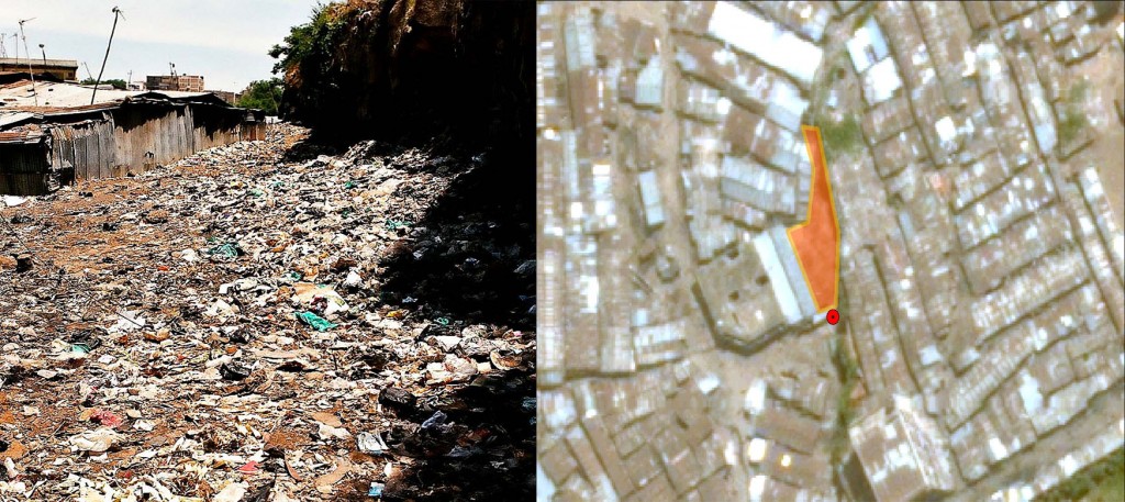
Mapping open defecation areas
by: jamie October 4th, 2010 comments:
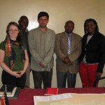
First steps in mapping Mathare: meeting partners & identifying allies. To that end, Primoz and I went along with Rose Nyawira, from Community Cleaning Services who will be involved in the Mathare mapping project, to meet with the District Officer (D.O.) of Mathare. We wanted to tell him about the Map Kibera programmes and the plan to facilitate knowledge sharing and transfer skills from youth in Kibera to youth in Mathare. Onserio, the D.O., was enthusiastic about the plans for putting Mathare on the map and how the data could be used by his office. He asked about the challenges and lessons learned from Kibera to ensure that we would apply the lessons learned in the Mathare work. Also at the meeting was John Kennedy Ogoi, a public health officer in Mathare who is also interested in h0w mapping and social media can support community health workers in the area. Our second meeting of the morning was with a group of 40 or so community health workers who were receiving training and discussing the community development strategy as it relates to public health. When we entered the room, I noticed the group had brainstormed and written on a flip chart the “Factors Hindering Health & Development” in the community. Their list contained many factors, but two jumped out at me
- Lack of individuals voice in decisions affecting them
- Illiteracy, lack of knowledge & skills
These are factors that training and materials that the Map Kibera team can directly address. The use of maps and information submitted through the community information sharing platform, including video reporting are powerful evidence that can be used to raise their voices and influence decisions affecting them. Data collection, mapping, improved spatial awareness, website & knowledge management, video production, etc are all concrete knowledge and/or skills that have impacted the lives of our team from Kibera and can and will address the factors identified by the community health workers . The positive response we got in the two short meetings, with the district administrators and then community health workers in Mathare, are (we hope) an indication of the enthusiasm of the people we will be working with in the area.


