by: Steve Banner March 6th, 2024 comments:
Mapping waste management in Mukuru Kwa Ruben was an eye-opener to the challenges most people face in our informal settlements in Nairobi, where potential talents and opportunities go unrecognized and a lot of people are not aware of the resources availed to them.
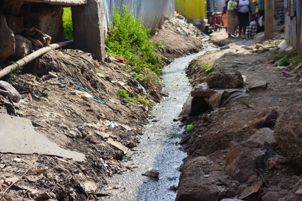
One of the many open drainages crisscrossing the area and offsetting waste into the nearby river.
Mukuru Kwa Ruben is said to be a government reserve for mining industries and that was displayed during our recent waste management mapping where we frequently came across a group of young people working on mining residues to make money.
Like any other informal settlement in Nairobi, Mukuru battles with how to handle their waste and most end up in the drainage system, with a high risk of a dirt-related disease outbreak.
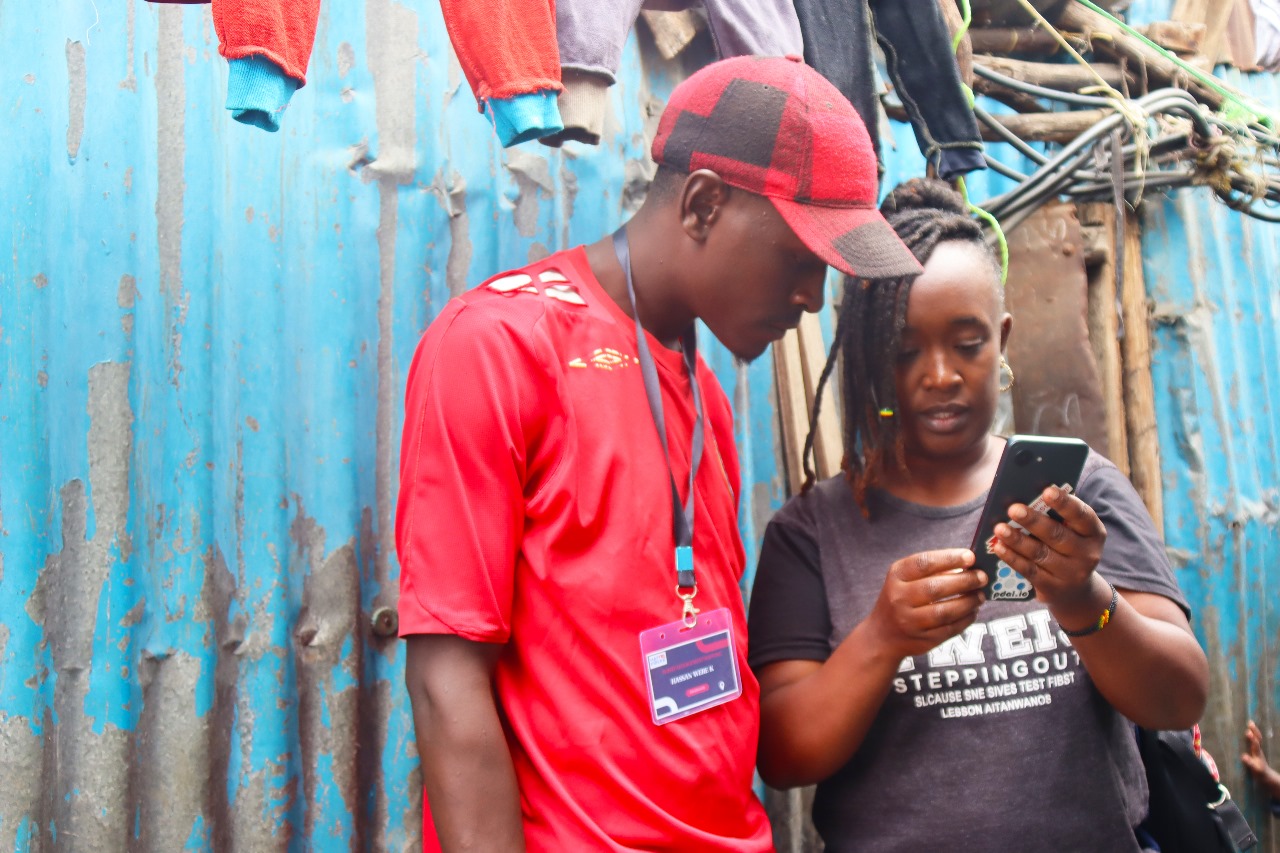
Our mapping started in late December 2023, and went on for about three weeks, which saw it end in mid-January 2024.

Our field coordinator Lucy demonstrating to one of the enumerators how to pick accurate gps coordinate.
With a group of about 20 youths from Mukuru kwa Ruben, affiliated to Mukuru Youth Oasis CBO, We mapped over 2000 households from Zone A, B, C & D of Rurie village and what stood out the most was the cooperation of the residents and their willingness to have a clean environment.
One of their biggest fear was how the installed bins were going to be managed, most residents could not believe that they were being given quality dumping bins for free.
“Who is going to empty the bins when they are full, and who is paying for that?”, were some of the questions the residents demanded answers for, other than that, they welcomed the idea of having recycle bins in every household of Rurie village.
The mapping was conducted by counting the blocks and finding out how many households and businesses were in a particular block, which helped us determine how many bins to be installed in a particular block.

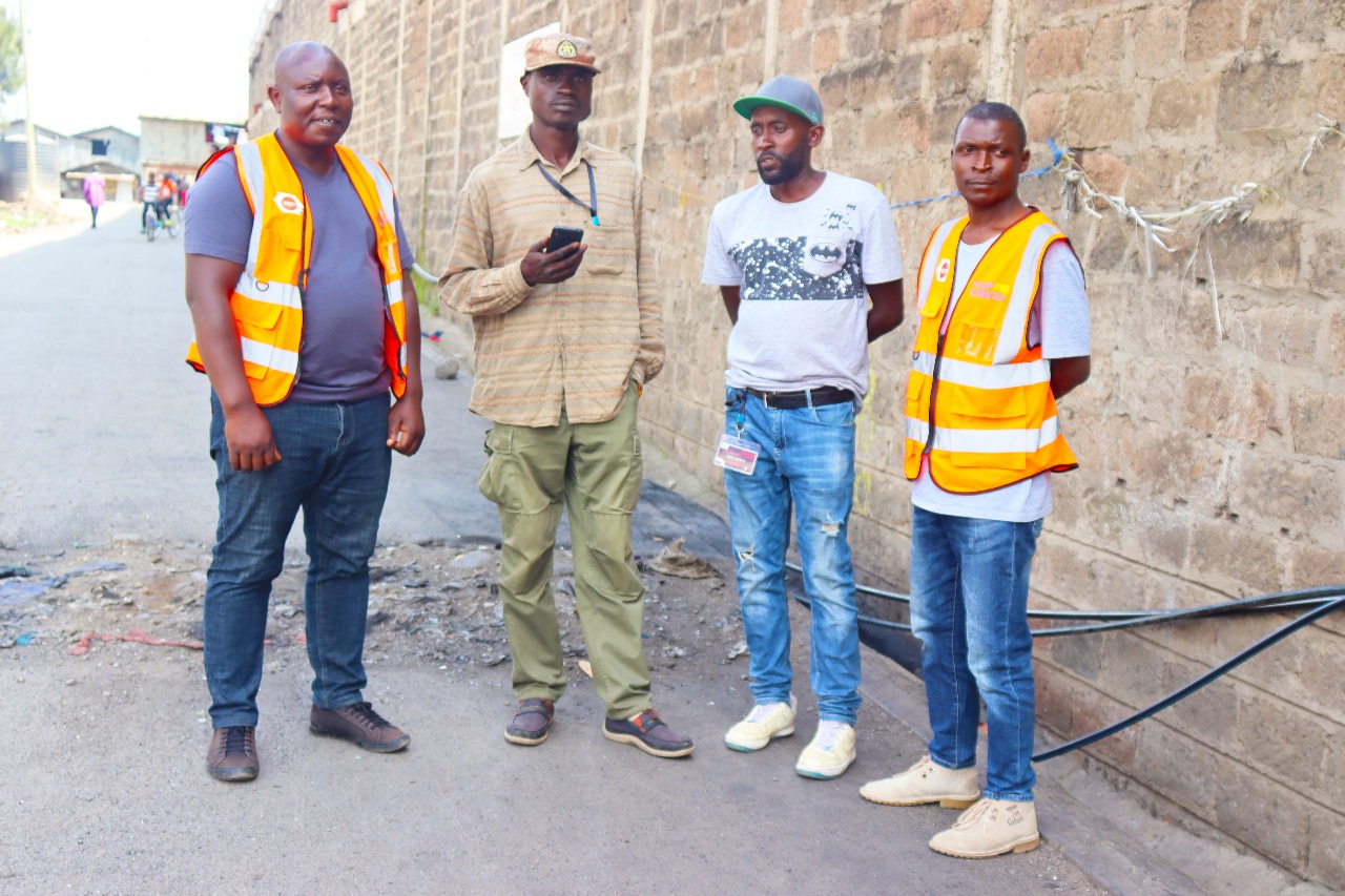
Some of the youths and leaders of Mukuru Youth Oasis CBO
From the success of this particular mapping exercise in Rurie village, I’m hoping that Map Kibera, together with the partners, will scale to other villages of Mukuru kwa Ruben and by extension, into other informal settlements in Nairobi who are also battling with the challenge of waste management.
by: Zack Muindre October 29th, 2012 comments:

First we would like to thank ESRI East Africa for giving us the opportunity to be part of their 7th user conference. The Map Kibera Trust members present at the conference were Zachariah Muindi and Maureen Omino. This year’s theme was “Experience Geopower in the East African Rift” and the choice of the venue was great because it was just in line with the theme of the year, with it being located in the Rift Valley, on the shores of Lake Naivasha, with the Olkaria geothermal power station just a few km away, providing a good site to go for the conference safari.


The conference was just a wonderful experience that created a conducive environment for networking, sharing and learning with participants from different parts of the world, from different organizations and institutions.. The sessions were so awesome, interactive and educative. The opening session was graced by the Permanent Secretary of the Ministry of Land, who shared the changes that have taken place in the ministry thanks to GIS. Most of the maps that the ministry had were so outdated and the introduction of GIS to the ministry was a major boost to creation and publishing of new maps and constant updating of the maps. In one way the Ministry of Land affects a lot of ministries in Kenya therefore if wrong and outdated data is dished out automatically it will affect the services provided by the other ministries.
We would also like to congratulate the different organizations that scooped this year’s award at the User Conference for their outstanding job. This is clear enough that the use of the mapping has brought a huge relief to many organizations, government ministries, municipalities’ problems. The sessions at the conference were divided into two; there was the industrial sessions that focused on the applicability of ArcGIS to come up with solutions for different issues that affect human settlements, wildlife, nature e.t.c.

My colleague Maureen presented (slides here) in one of the sessions on mapping slum areas using OpenStreetMap and ArcGIS. She explained the whole work that we have been doing as a Trust starting from our Kibera pilot project, to the work that we have done in Mathare and finally on the current work that we are doing in Mukuru, and how we use GIS in creating and publishing our maps. The feedback after the presentation was just great. We also prepared and presented a paper at the conference that explained in detail the work that we have done in Kibera, Mathare and especially in Mukuru. It highlights the whole process that we undertook from the word go in Mukuru, from identifying the area, organizing community forums, to data collection and editing the data and the creation and publishing of the final maps.
There was also a presentation on crime mapping and analysis using a web based portal by Simon Ngegi Njuguna, where he shared how technology can be introduced to the police department to curb the rising issues of insecurity. Web based platforms can engage the public to report any incidence of insecurity, and once the report is sent to the police it can be analyzed and be published to the public as a warning, be used to communicate with the police on the ground about the exact location of the incidence and the easiest and fastest way they can reach there. And I do believe if this is implemented it would be a milestone to the police department that would help them serve the public efficiently and protect them. More details check out the presentation.
From the conference we learnt that there are other ArcGIS services that we can in cooperate in the work that we doing as Map Kibera, apart from the one that we have been using to create maps. We can also work with ESRI East Africa and see how they can help us bring in the new system where we saw with the use of a simple smartphone you can collect data from the field, send it to someone who is in the office, and he can analyze the data prepare a map using the data and publish to the public and other key stakeholders that are associated with information. We think this could be helpful for us as a Trust, especially now that we are starting the project on election monitoring.
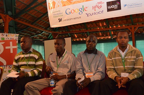
by: Kibera News Network July 13th, 2012 comments:

The Global Voices Summit, was a good opportunity for Map Kibera to get exposure, share and interact with different bloggers from all over the world.
On 2nd July, which was the first day of the summit, at 2pm when the Map Kibera team of Joshua Owino [KNN], Steve Oduor [KNN], Lucy Fondo [Mapper], Cosmas [map Mathare], Javin Ochieng [Map Mathare], Sande Wycliff [V.O.K], Yvonne Tiany [ Map Mathare], Vincent [Mukuru] and Kepha Ngito [Map Kibera Trust Director] took to the panel to present about map kibera trust.
Joshua and I shared how KNN, started, what we do with the limited resources we have to bring about change in our community.
Members of these different programs under map kibera trust shared in detail what they have been able to achieve in the 2- year approximate time that map kibera has existed.
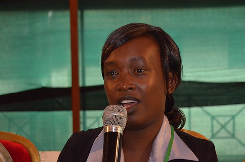
Lucy Fondo speaking. Photo by @rezwan
For instance, Lucy Fondo , one of the mappers present at the summit, explained how, by the use of GPS gadgets, they have been able to map different facilities within Kibera and later been able to revise the maps in different topics that affect the community directly such as health, education, security and Water & Sanitation.
These maps have played a great role in improving the services offered by the government in these respective topics, for example, the local governing authorities have used the security map to help improve security especially around the black spots identified in the map. the map on water and sanitation has also been of great importance to the government-owned Nairobi Water Company which has relied on the map, to identify areas in Kibera hit by water shortage.
KNN on the other hand, use flip camera to make video on issues and happenings in different areas within Kibera, through the Youtube channel, www.youtube.com/kiberanewsnetwork which are linked to the map created by the mappers thus helping to identify on the map what happens at a particular place.
Sande Wycliff of Voice of Kibera explained how through ushahidi platform, they have been able to get the community members to send reports that come as text messages on the site, www.voiceofkibera.org , on events and things that take place within Kibera, the report is later verified by a team of editors and then appears on the site. which uses the map to show where a certain report was sent from.
Sande, Joshua, Steve, and Vincent on panel. Photo by @rezwan
Map Kibera also shared how the information sharing has helped improve the community and how it has been extended to slums of Mathare and Mukuru, where other young people like Cosmas, Yvonne, Javin and Vincent, who were also present at the summit, shared their experiences in these respective regions.
On 3rd of July which was the second day of the summit, Map Kibera director Kepha Ngito gave a presentation with an overview of the whole trust and it’s relation to the community where he later answered questions from participants.
Steve, KNN