by: Lucy Fondo March 11th, 2020 comments:
To mark the International Open Data Day, Map Kibera, on Saturday 7th March, took the initiative of hosting a half day forum in order to discuss Open Data with partner organizations, community leaders and members not only from Kibera but the larger Nairobi area. The aim of the event was to try and simplify the concept of open data to the grassroots level, and further promote the use of open data among the community members in order to promote data driven development.

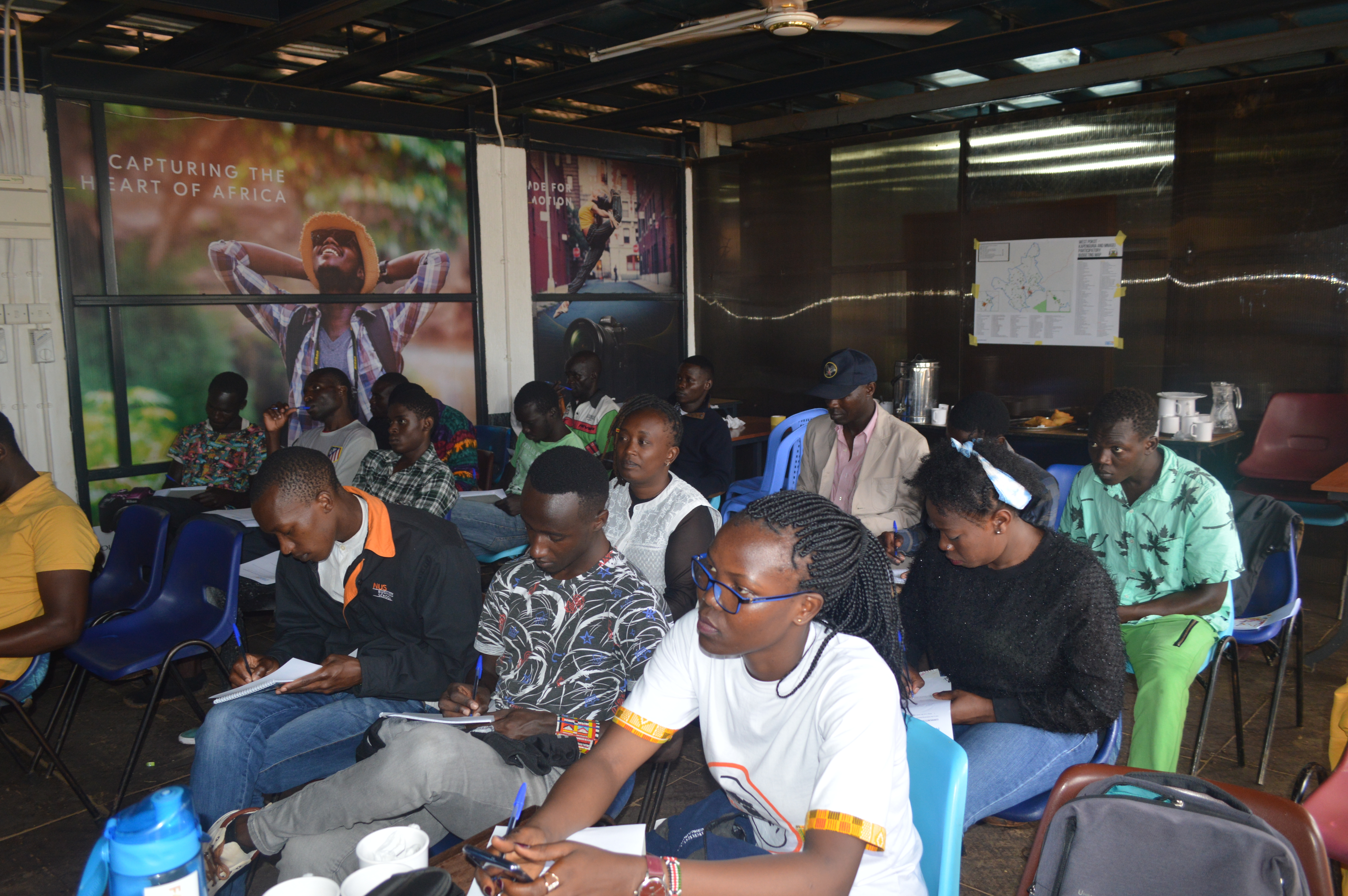
Participants following up on the session keenly
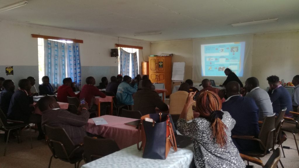
The event kicked off with Zack Wambua, who is Mapping Coordinator at Map Kibera, talking about the importance of Open Data. He highlighted examples of Open Data and the importance of having open data such as giving clear information and containing rumors and making data accessible and reachable.
Sharon Omojah represented OSM (Open Street Map) Kenya and explained to those who had attended what OSM Kenya is and the work it does. She gave an example of the Mapathon as one of OSM Kenya activities. She also explained the benefits of being a member of OpenStreetMap as more questions were asked about OSM Kenya mission and whether trainees were awarded certificates after OSM trainings. She stated that the OSM Kenya mission is to have an updated map of Kenya and yes, certificates are awarded after trainings.
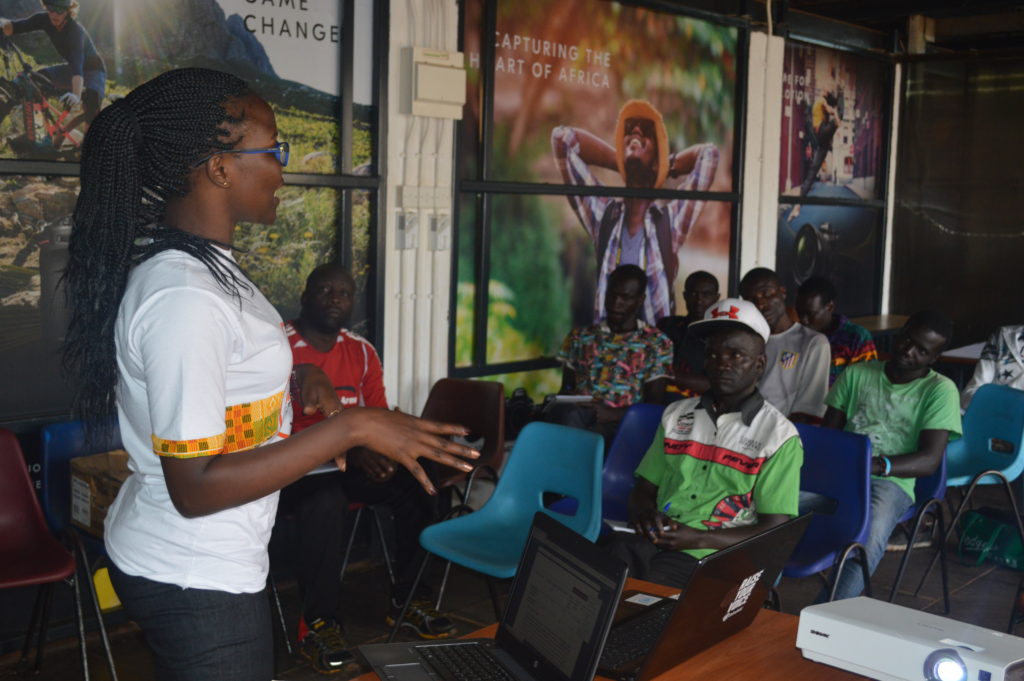
Sharon presenting about OSM Kenya.
Zack Wambua took the attendees through how Map Kibera started. He explained Kibera was just a blank sport on the government map and there was need to have a detailed map of Kibera to show that there’s life in Kibera, and that’s where Map Kibera stepped in to provide the first map of Kibera, which has since been reproduced thematically. Map Kibera uses OpenStreetMap because it is open and accessible.
Zack talked about Open Schools Kenya, how it can be accessed and the information one can find when searching for a particular school from the website. People could see an example of a printed Open Schools map on the wall. There was a suggestion to map the Kibera population which has been a controversial issue for long.
The attendees also watched a small video done in Kibera asking people on the street about what they know about Open Data. Zack led a small exercise on what people had learnt from the video and what they thought of the answers given on Open Data.
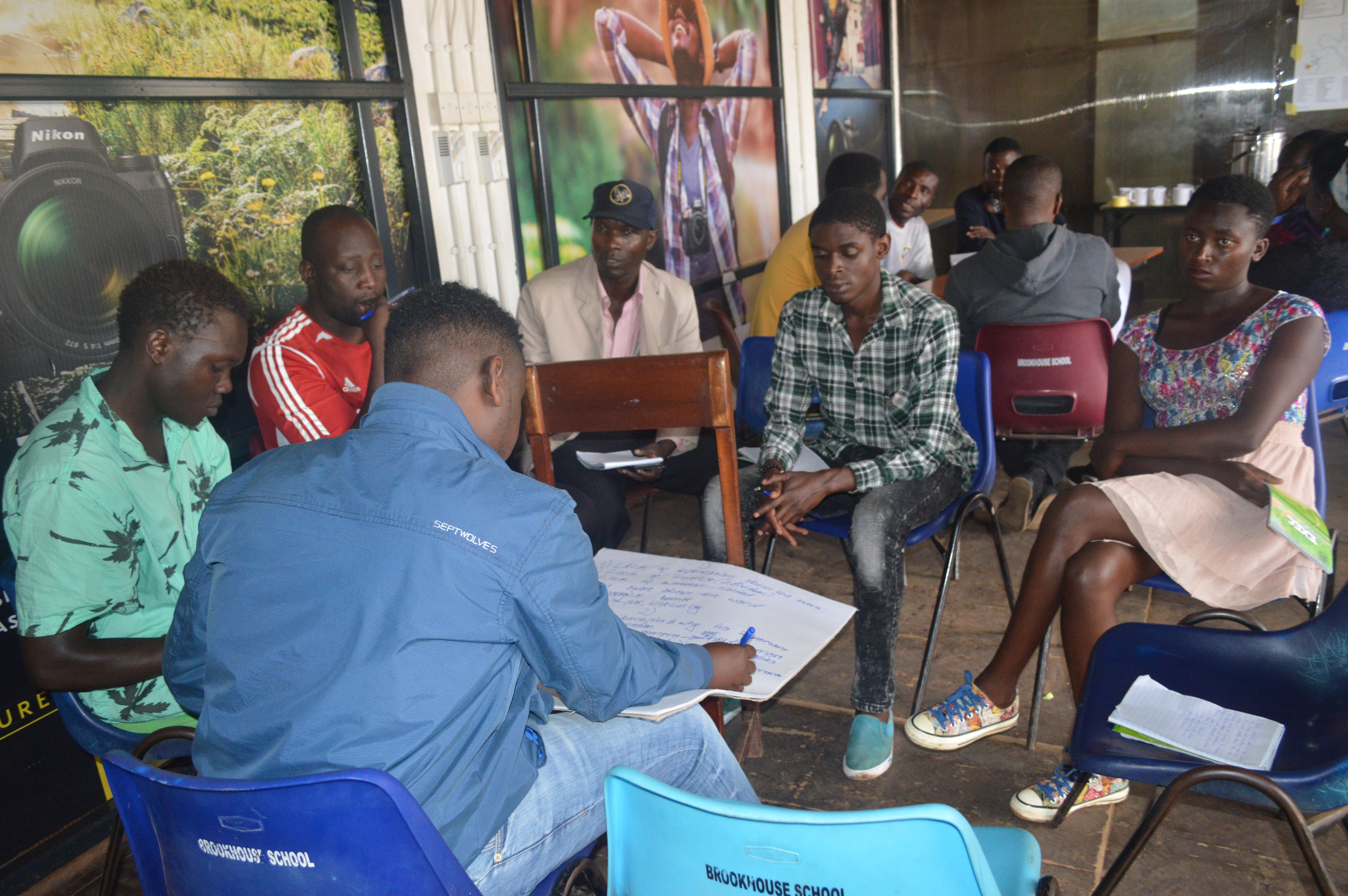
There was a breakout session where the forum split into 3 groups to discuss the Open Data rising questions among them, why there weren’t many people who have attended Open Data forums. Most of the audience had an idea of what open data entails and even went ahead to share some of their experiences like accessing census data, and the country’s financial budget among others.
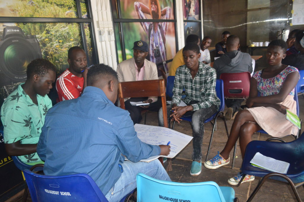
One of the group discussing about open data, during the breakout sessions
Discussions followed on the benefits of open data and accessibility, where we had an example of how Kenya Urban Roads Authority had hid the data of possible people to be displaced by the road cutting through Kibera.
The last session of the day was led by Lucy, where she introduced the participants to Maps.Me and OpenStreetMap. She did a step by step demonstration of how to map new points as well as how to upload them to OpenStreetmap. Majority of the participants were excited that they can now be able to add new map features of their neighborhood. Since this an extensive course, there was a request that Map Kibera should organize more training on open mapping of which most participants have already registered for it.
Among the recommendations were organizing for more sensitization forums and further defining open data in a simpler way that can be understood by ordinary citizens. There is also is a need to conduct more training on open data platforms in order to promote open data in the community.
by: Lucy Fondo December 1st, 2019 comments:
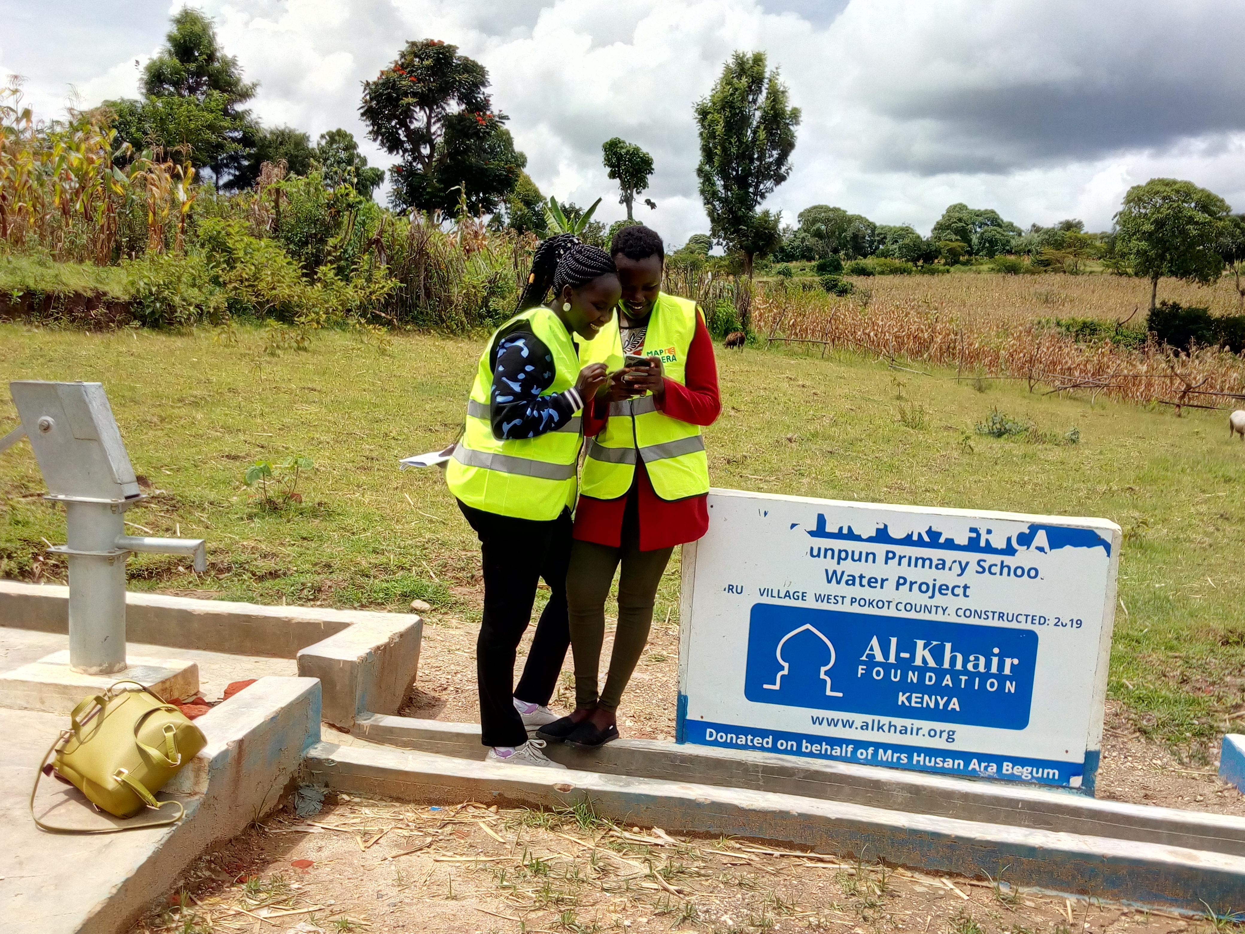
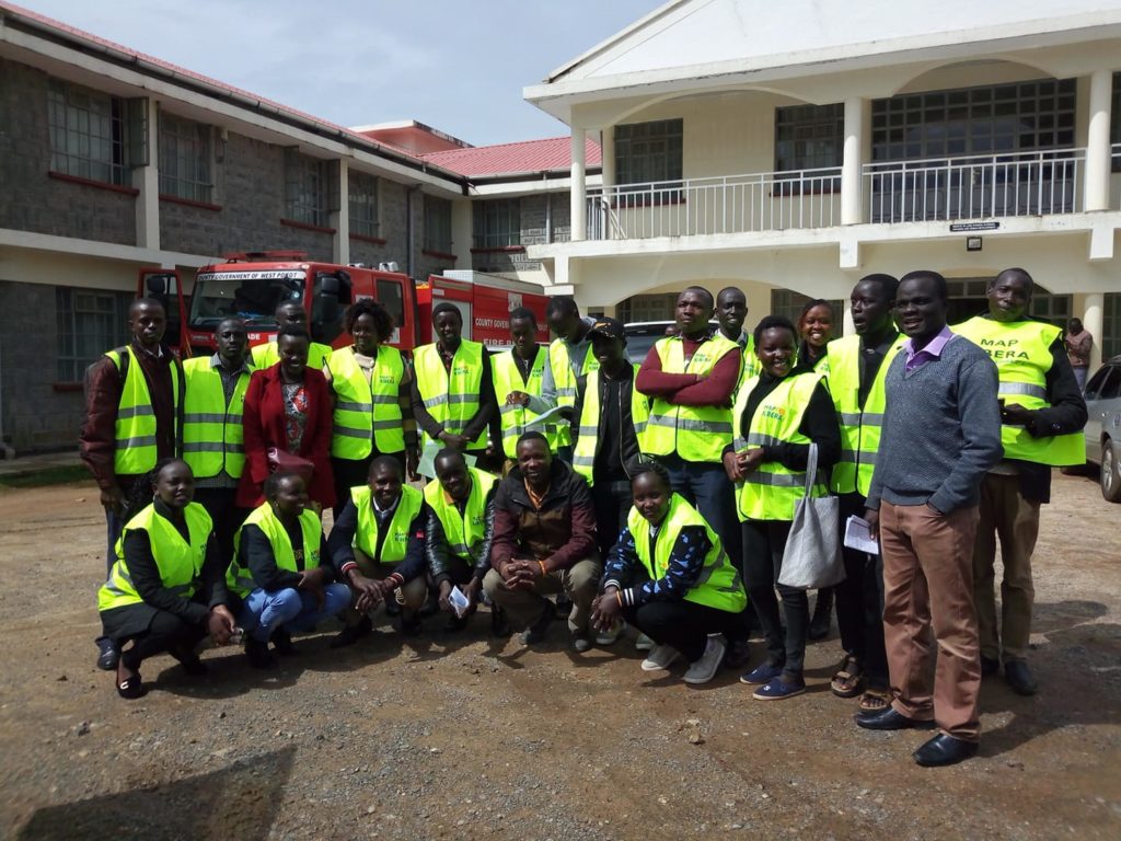
As part of their ongoing support to Participatory Budgeting with support from the World Bank, last November, Map Kibera Trust trained community volunteers and county staff of West Pokot on mapping of county projects under the devolved system of governance; the main areas to map were Kapenguria and Mnagei Wards.

The idea behind the project was to create digitized maps that will be used for planning and decision making during Public Participation forums with the community members.
It was interesting to see how the youth, county officials and ward administrators actively participated in the training session and field exercise. Our training was very interactive and the trainees were very lively and vocal because the concept was still new to them. Others were even skeptical of the whole idea of paperless data collection and management.
Since Map Kibera uses open data platforms, we took the trainees through account opening to enable them contribute to OpenStreetMap, where they would later upload their edited data. Having completed the training sessions on data collection and editing, which took a week, we proceeded with the actual data collection exercise. Each trainer from Map Kibera played a supervisory role to ensure the process was smooth and that the community mappers were able to collect accurate data. This meant joining up with different groups in the field at intervals.

We also had to guide the team on how to fill in information from the project list that had project names, project information, project IDs and departments. The data included completion status of each project, photos, and assessment of the quality of the project as well as key observations and comments. Some of the projects included ECDE classroom construction, dispensaries, roads, water storage tanks, dams, etc. They also mapped other points of interest to help create the basemap.
In editing sessions, we took them through the process of using JOSM (Java OSM Editor), and it was interesting to see how they grasped the process the more edits they performed.
West Pokot is among the few counties that had been selected for this Participatory Budget mapping project sponsored by World Bank. We tried as much to be thorough in our work as trainers and facilitators and it is evident that the community mappers and volunteers grasped the teachings; some of them are still active contributors on OpenStreetMap.
Key Mapping Fellows will continue to be supported by Map Kibera Trust going forward, to ensure that they are able to keep updating the map and incorporating the data into their systems. A beta County Project website and printed versions of the maps have been shared as well.
by: Lucy Fondo August 14th, 2011 comments:


Most of the farmers around  Dar-salaam take their agricultural produce to Sokoni market(Tandaleward).The most amazing thing about this market is that you will always see a municipal council’s lorry packed somewhere around ready to collect garbage from the market.For me, this is welfare because when I compare Sokoni market with Toi market i.e. in Kibera, I see I a big contrast. In Toi market you will never see a lorry coming to collect gabbage.The burden of garbage collection is usually left to the business owners.
In terms of infrastructure, Sokoni market is easily accessible.Both buyers and sellers can use any form of transport to access inside.Stalls have been partitioned well taking into consideration space for every seller.
Apart from farm produce,Sokoni market has stalls where they sell imported second hand clothes commonly known asâ€Mitumbaâ€.The clothes are very much affordable and you can always find different designs/fashions.
My opinion is for the City Council of Nairobi to atleast deploy two lorries on weekly basis for garbage collection. I believe with this done, it will help in maintaining a clean and safe environment free from pests and diseases.
Lucy Fondo