Map Kibera recently embarked on the training of high schools in using OpenStreetMap and basic skills in open mapping. In partnership with YouthMappers the training has been customized to go beyond mapping since it aims to promote capacity building that will prepare high school students to join the competitive tech world.
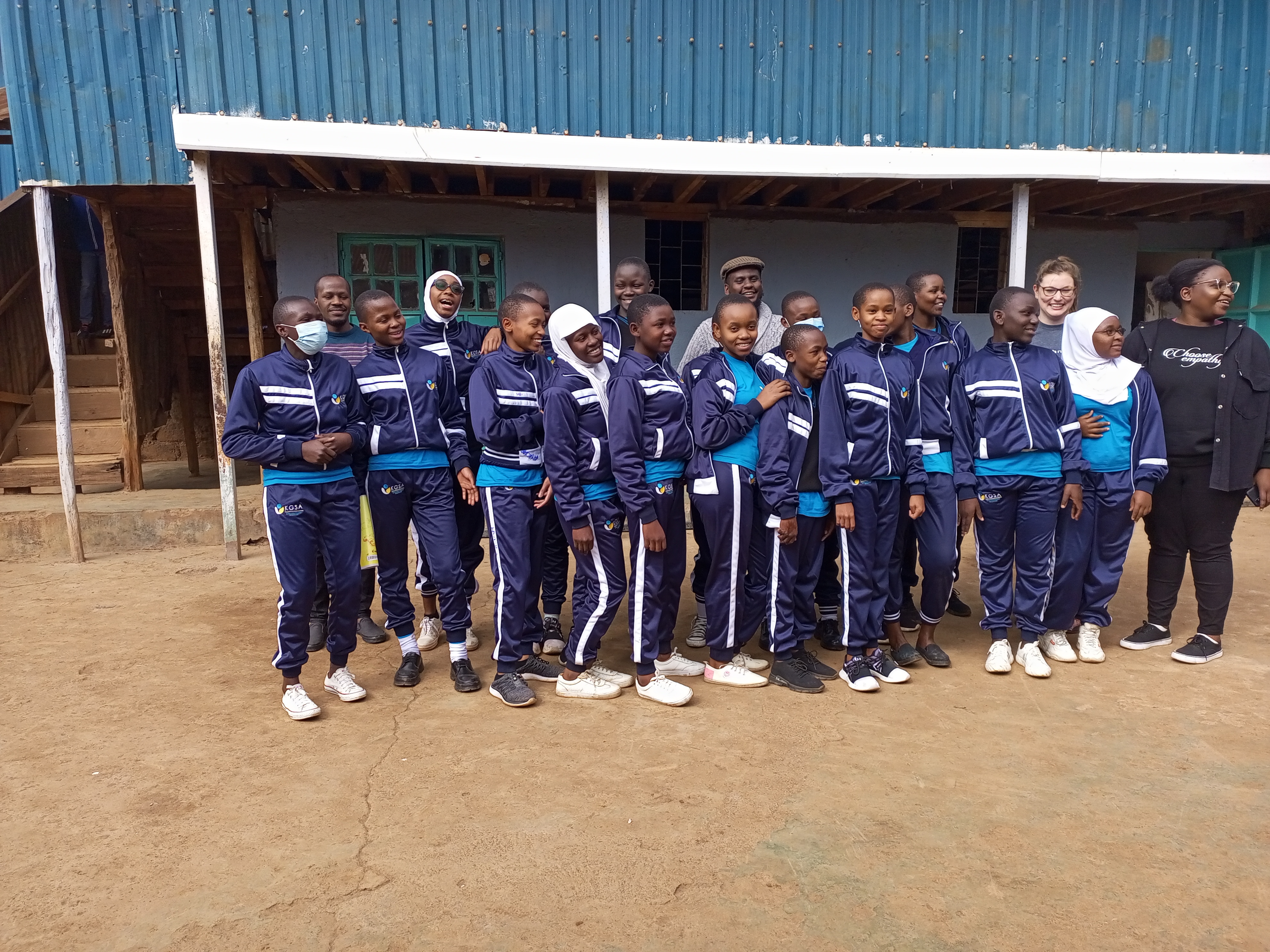
The pioneer school benefiting from this OSM training is called Kibera Girls’ Soccer Academy (KGSA). It is located in Makina village in Kibera.
The school is among the few in the slum that has a decently equipped computer lab in which the students can hone their technical skills.
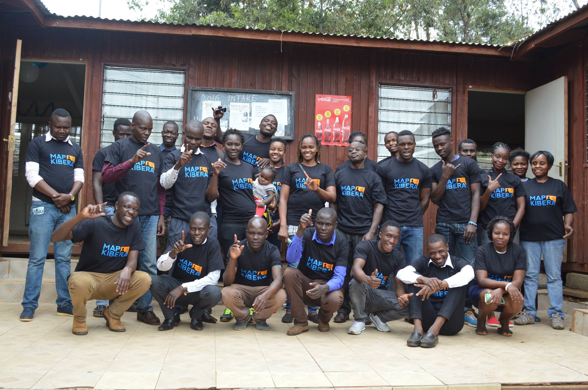
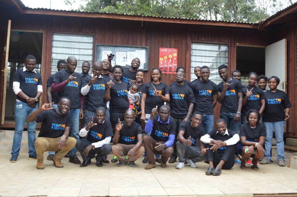
 KGSA Students taking a group photo alongside Map Kibera team and YouthMappers’ team representatives
Objectives
The aim of the training program is to achieve the following:
- To ensure inclusivity of marginalized groups i.e. girls (from Kibera) in the technical space of GIS mapping and more. In recent years we have seen lots of women getting involved in open mapping projects, through this training we anticipate having more girls joining the space and also starting them this early. We hope through this that the gender gap that has been experienced in the OSM community will narrow down.
- To equip the students with skills in open mapping specifically on OpenStreetMap
- To introduce high school students to careers in mapping(GIS), Geography, and technology. And whether they take a different path in their country, it’s good to remind them that they can be a doctor or a lawyer and still be an active contributor.
- To increase map coverage by involving more people in open mapping on OSM.
- To explore training different groups i.e. high schools other than universities and organizations on open mapping; so that we can use this as a module to train other similar groups in the country.
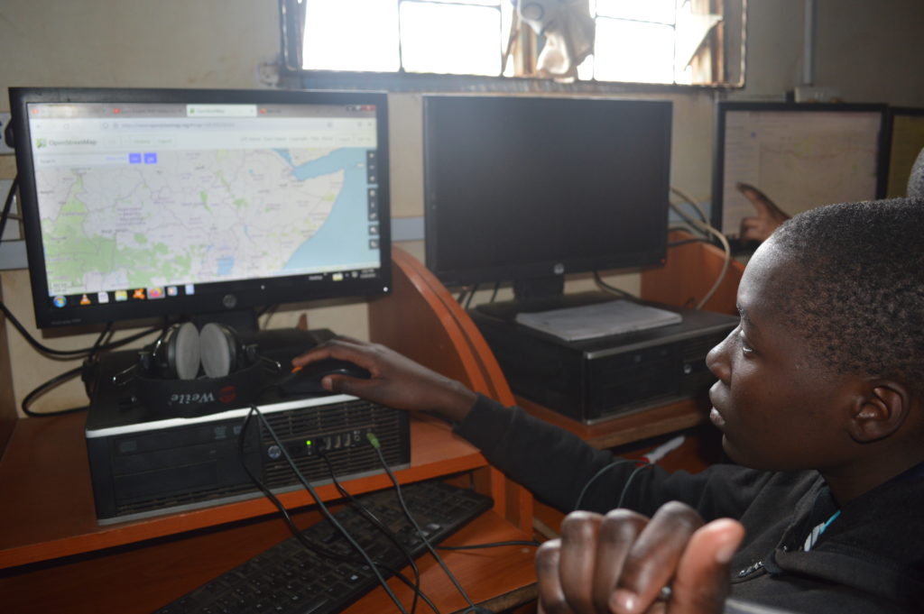
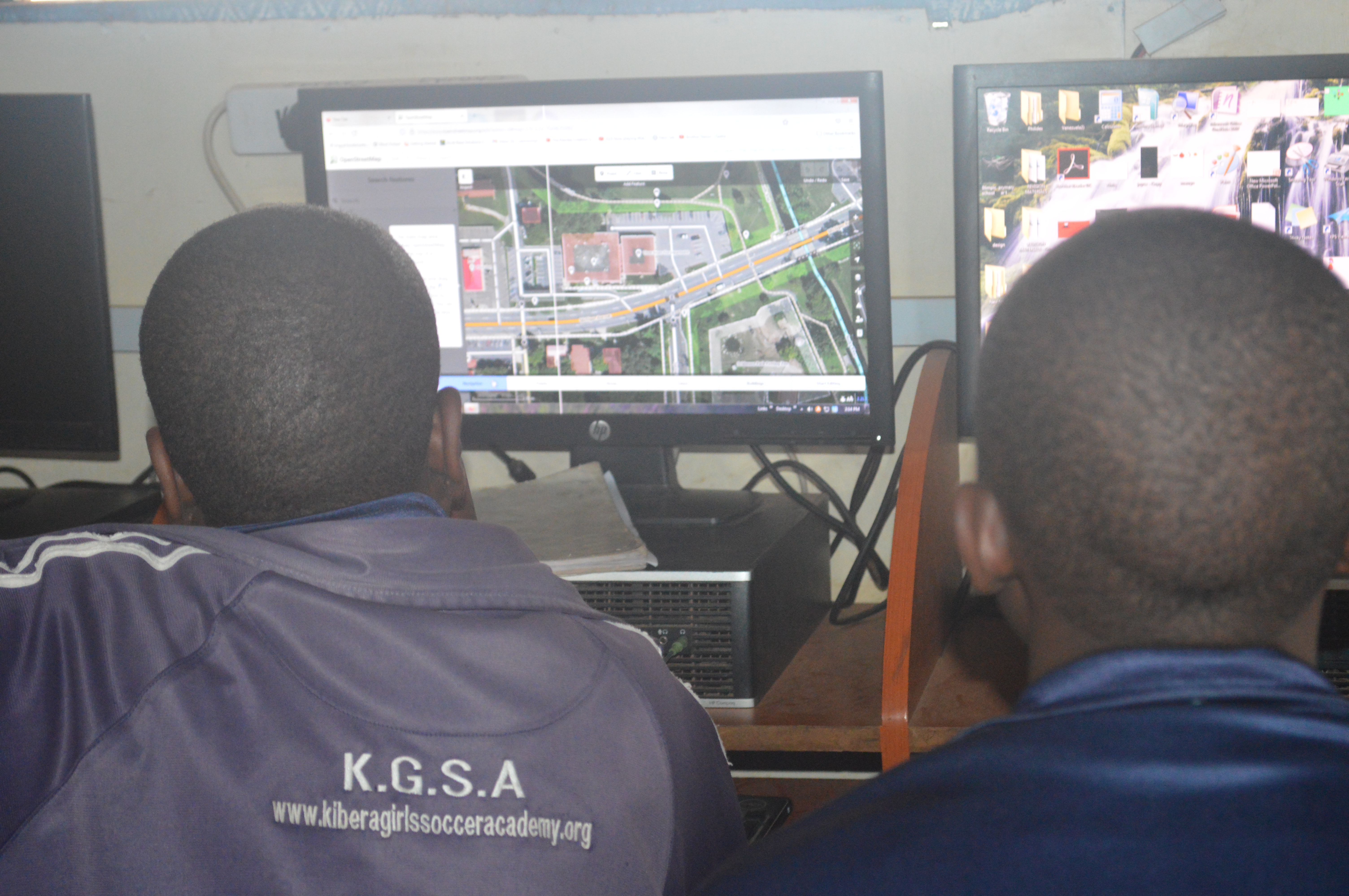
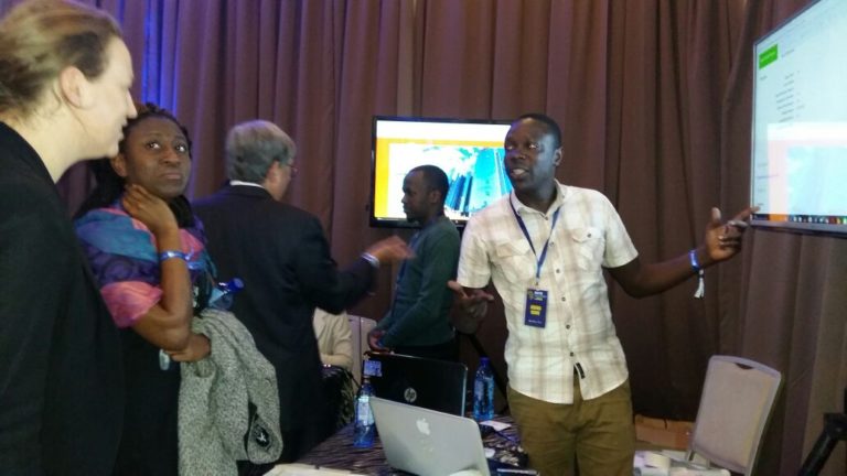
Students getting hands-on editing using iD editor walkthrough
Progress
For this training, we have borrowed the teachOSM module, which is geared at introducing OSM to high schoolers. We have so far covered seven modules out of the twelve in the past three months (May to September).
The training has been open to all students since OpenStreetMap is all-encompassing with regard to the application of open data.
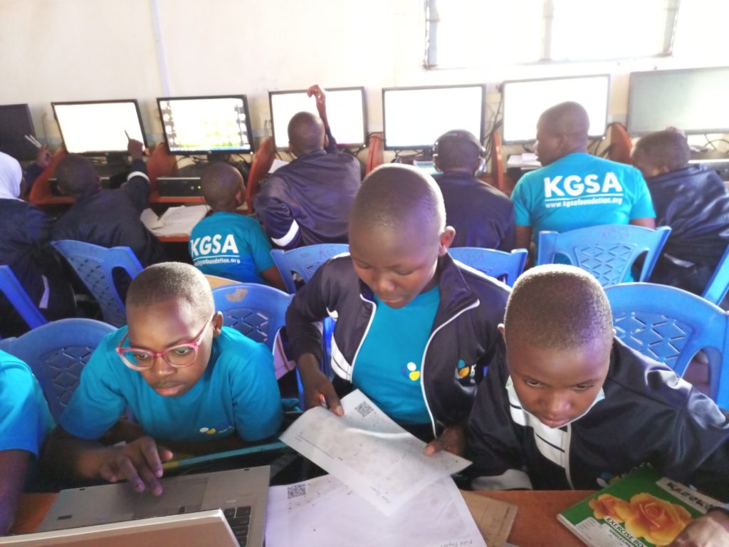
Students use field papers to identify points missing on the map and what needs to be added.
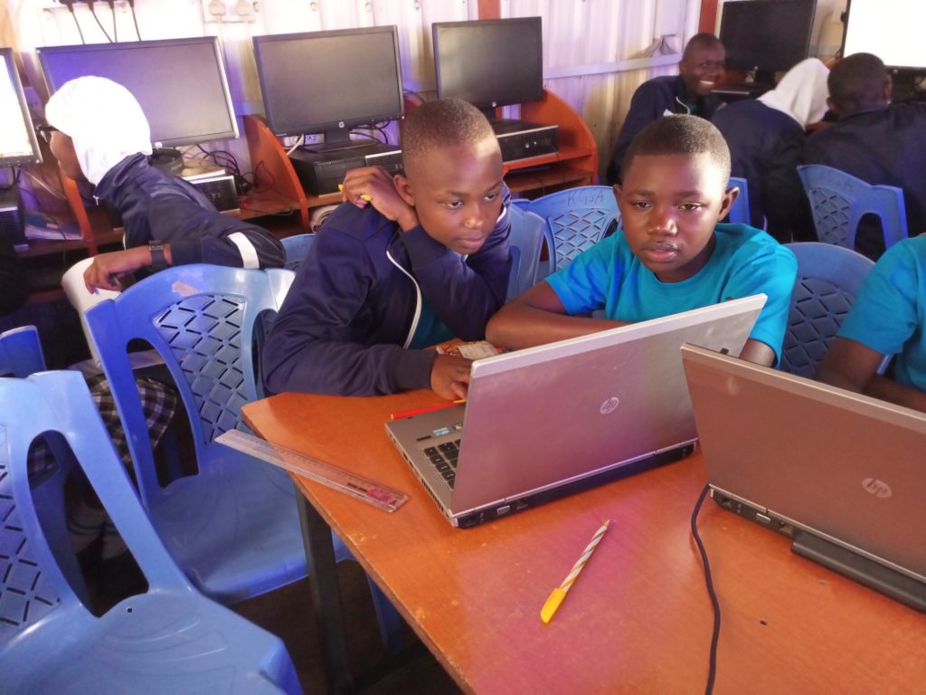
Eye on the data.
Looking forward
- Our earnest desire would be to ensure continuity of the OSM training and probably scale up to other locations of the country.
- We also hope that by the end of the training program, the students will have been equipped with skills that they can build on after their high school diploma.
- The training is also wired to be closely tied to the school curriculum to ensure relevance and harmony with the Kenyan high school education system.
As the year 2018 has just began, everyone is busy writing resolutions, some reviewing what worked last year and what they need to change while others are writing new resolutions for the year. We at Map Kibera also took time to reflect on how the year 2017 was for us in terms of the work that we were able to do.
Security mapping/election monitoring
Una Hakika Project
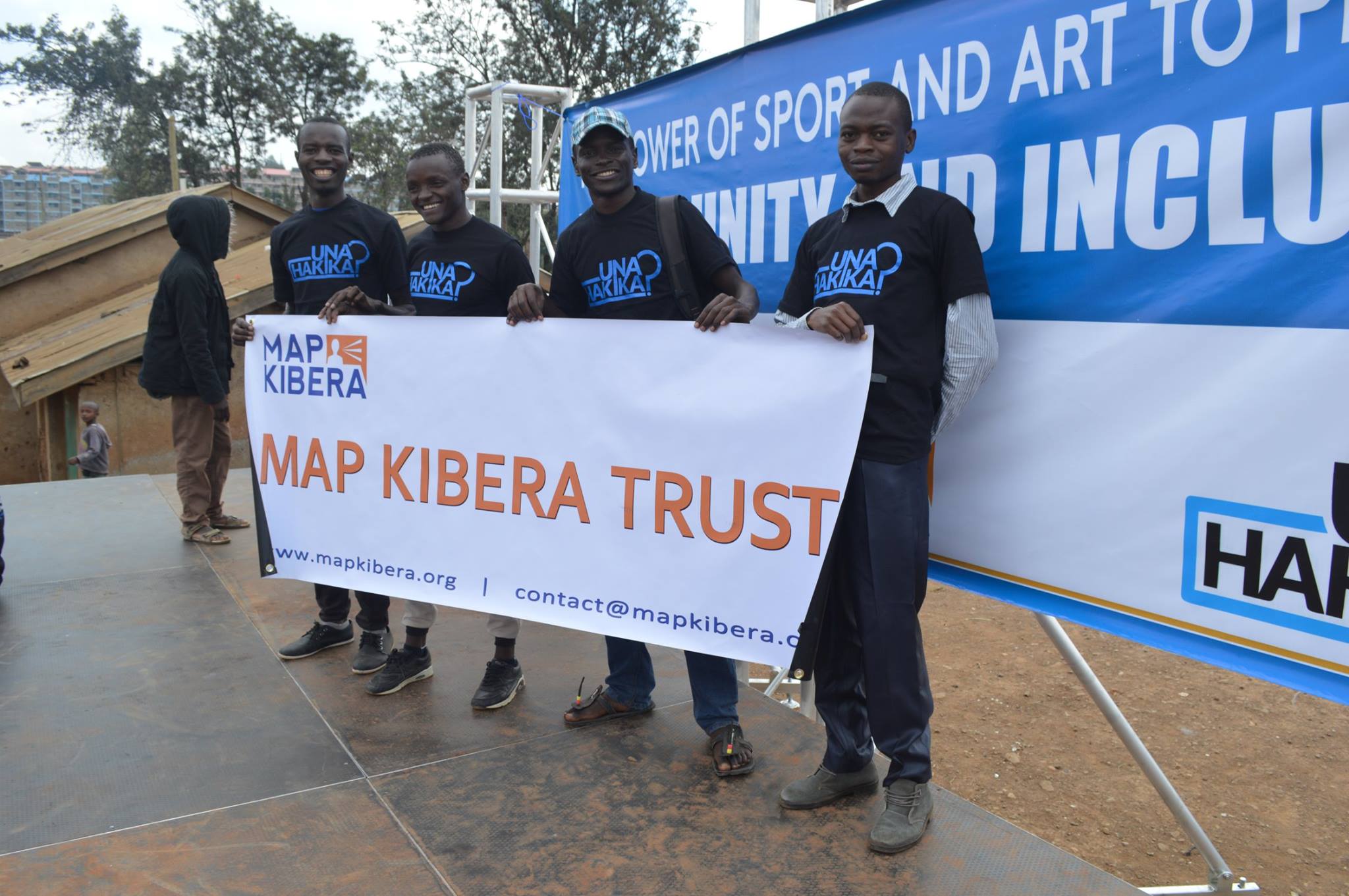
The year began on a good note with the team in Map Kibera conducting a baseline survey for a project that they would be implementing in Kibera in partnership with the Sentinel Project. The project was dubbed Una Hakika? (Are you sure?), and the aim of the project was to assess and moderate the spread of rumours before, during and after the August election.

Una Hakika launch event at Undugu Ground in Kibera
With the August election drawing near, Map Kibera with the help of 3 students from University of Nairobi and JKUAT who were on internship through the Youth Mappers programme conducted a mapping exercise with the help of local community ambassadors drawn from the Una Hakika project.
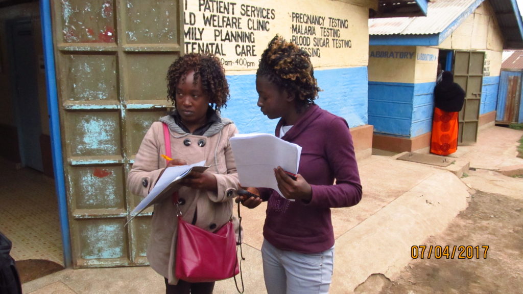
Lucy Fondo (on the left) and Phylister Mutinda collecting data in the field
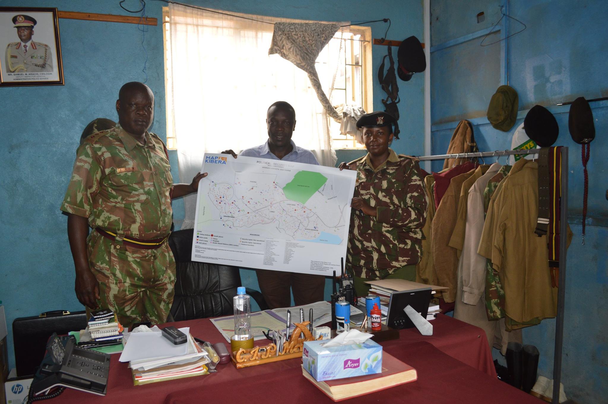
This was to update the security map that was last updated during the 2013 elections. The printed copies of the maps were distributed to the local administrative officials as well as to NGOs that work in Kibera on peace initiatives.
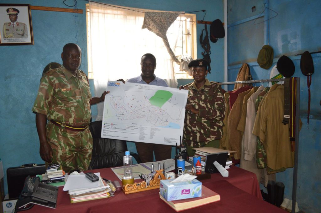
Joshua Ogure issuing a copy of the security map to Adminstration Police commandant
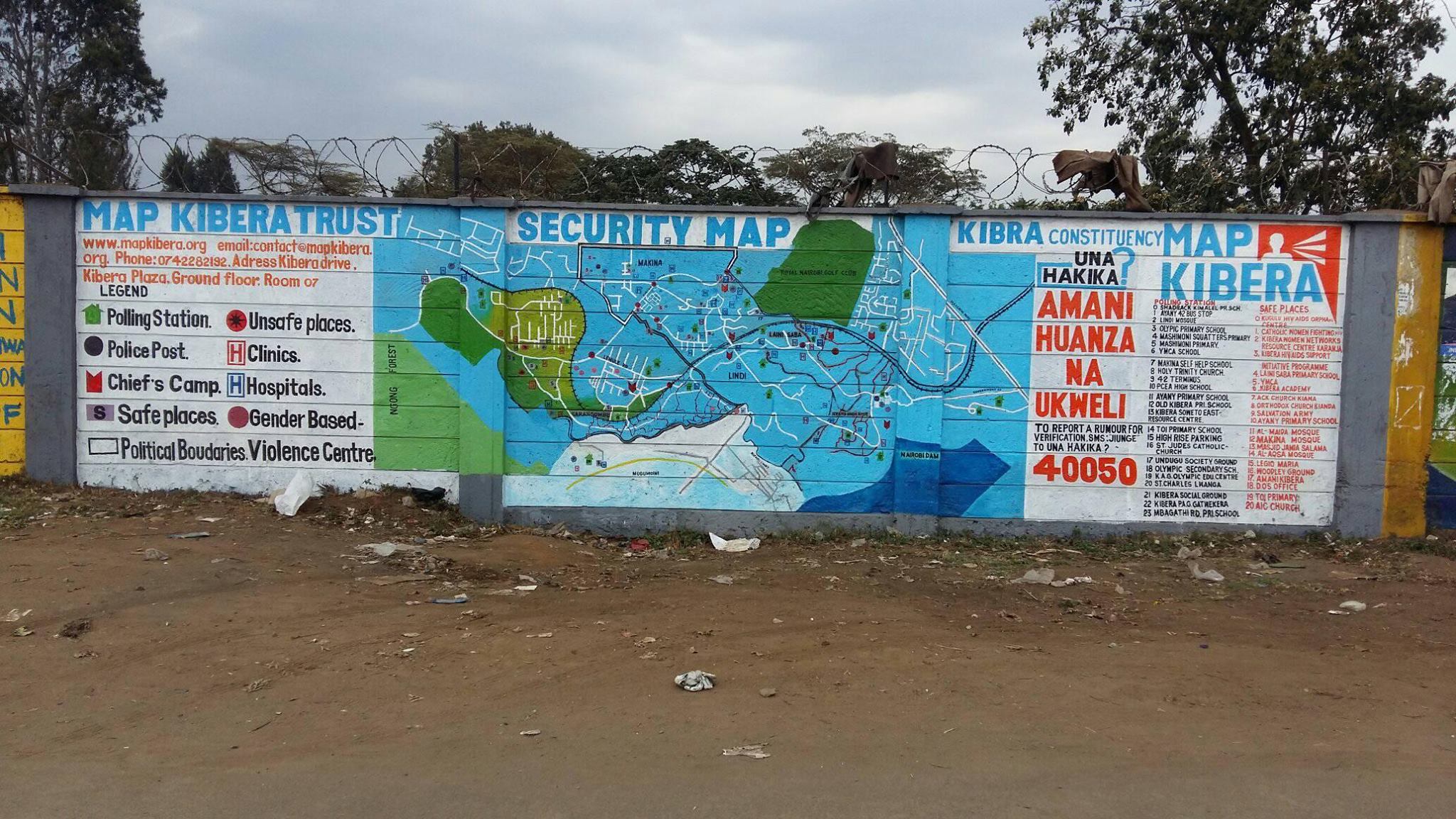
The other copies of the maps were distributed to community members. Read more here. The updated security map was also painted on the wall at a strategic point in Kibera where the community members and visitors would interact with it.

Updated Security map on the wall
During the August 8th election Map Kibera through the Una Hakika project also set up teams on various polling stations to report on the events as they were occurring. This was done through video coverage by the Kibera News Network team. The team was also supposed to report any issues by sending sms to the Una Hakika’s short code 40050.
Citizen reporters trained for the elections
Video Coverage of Elections by KNN
The KNN team produced more than 50 videos for both August 8 elections and the repeat October 26 elections. At least one video went “viral” with more than 13,000 views: Kibera Supports Supreme Court Ruling.
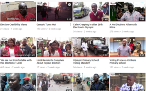
A screenshot of the videos produced by KNN during the election period
Repeat election
On 1st of October 2017 the Supreme Court Of Kenya nullified the August 8th Presidential election. The electoral body of Kenya was thereby asked to organize a fresh presidential election. This meant that our work on election monitoring wasn’t yet finished. So we organized and re-strategized to prepare for the fresh election. The period before the new set date for election saw a lot of demonstrations from the opposition team demanding changes on the electoral body before conducting another election. Kibera News Network documented some of these events, and even did interviews with some of the victims of police brutality after violence erupted immediately after Uhuru Kenyatta was declared the winner of the August 8th election. The IEBC set a new date for the repeat election to be 26th October. We monitored these elections afresh just as we did earlier.
Research
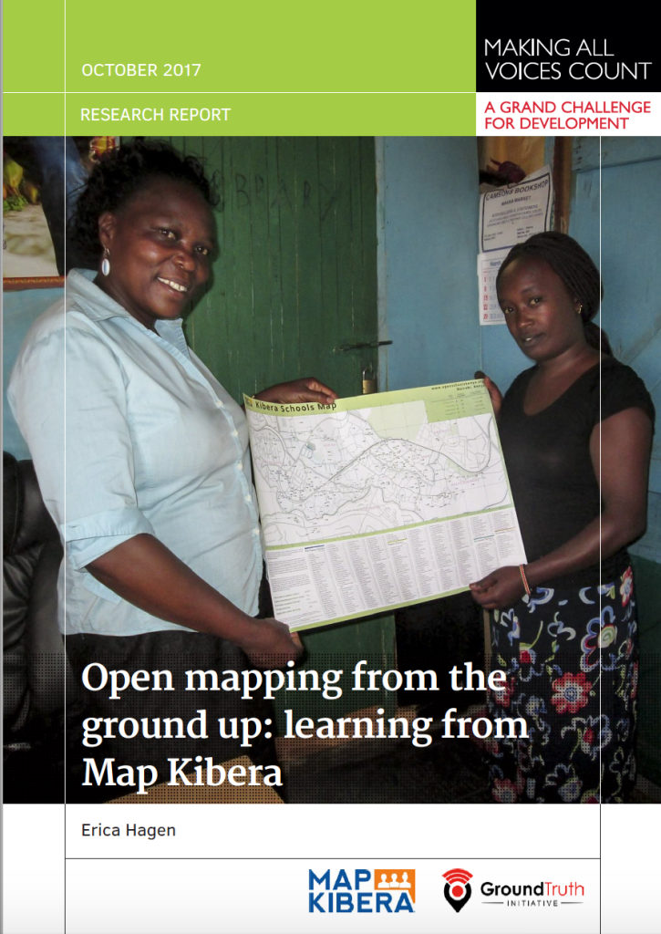 In the same year Erica Hagen, one of the co-founders of Map Kibera, was funded by Making All Voices Count to conduct a research on the impact of the work of Map Kibera in the local community and how the maps are being used by various local organizations, community based organizations, government offices and the community members. Key outcomes were that local officials had used our education maps to reach out to informal schools, build networks and extend resources to these schools. NGOs had also used other maps by Map Kibera to locate resources such as water and sanitation facilities. The research report can be read here.
Sharing, Participating, Collaborating
The year 2017 also saw Map Kibera being recognized and invited to attend various international and national events to share about their work. Some of the meetings were: the High-Level Meeting on Data for Development in Africa held by the Kenya Government and Global Partnership for Sustainable Development Data (GPSDD); Buntwani 2017 organized by Open Institute, Making All Voices Count, Dlad and Data Zetu in Dar es salaam; the Data Pop course at UN Headquarters in Nairobi, and a radio interview at IQRA FM.
Joshua doing demonstration about Map Kibera and the open schools project at the High level meeting.
 ICT4D
For the second consecutive year Map Kibera has been invited to speak at the ICT4D conference. This year’s conference was held in Hyderabad, India and the theme for the conference was from innovation to impact. Zack Wambua represented the organization at the conference where he shared the impact of the Open Schools Kenya project. Zack also had an opportunity to visit one of the local organization Hyderabad Urban Lab to learn more about the work that they are doing around community participatory mapping in Hyderabad.

Zack Wambua at the ICT4D conference.
 State of the Map (SOTM) AFRICA
This was the first ever SOTM event to be held in Africa, and Map Kibera being one of the oldest users of OpenStreetMap in Africa were invited to share about their work on community mapping, a model that has been borrowed by many groups and organizations that use OSM. Joshua Ogure the project manager of Map Kibera travelled to Kampala, Uganda to represent the organization at the event. Read more here  http://www.mapkibera.org/blog/2017/07/21/my-experience-at-the-first-state-of-the-map-africa/
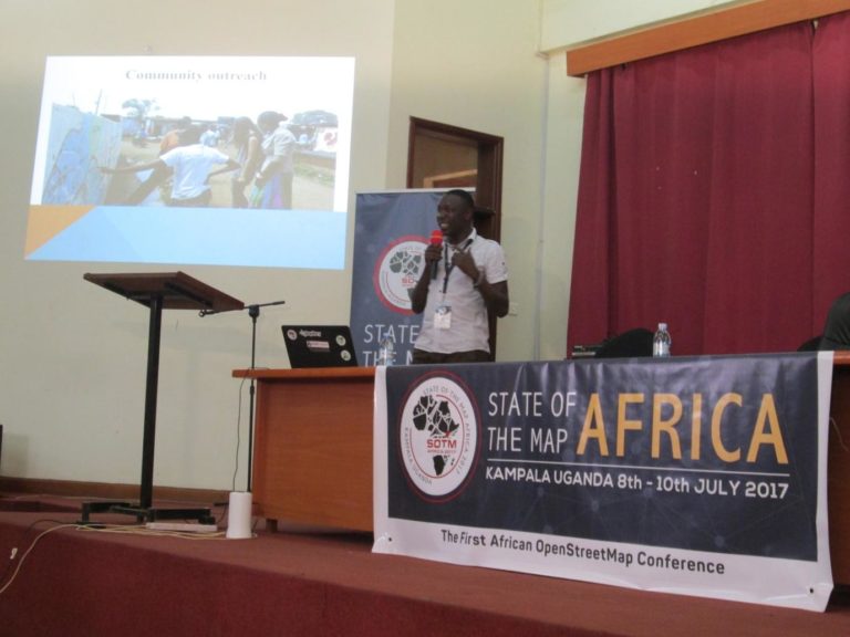
Joshua Presenting Map Kibera at SOTM Africa Kampala
SOTM Tanzania
After the successful SOTM Africa event, OSM teams in Tanzania led by Crowd2Map and Ramani Huria organized SOTM Tanzania. the event took place in Dar Es Salaam. Map Kibera was again called to assist with the planing of the event and also to share about their work during the conference. Zack Wambua travelled to Dar to represent the organization at the conference.

A group photo of all the attendees at SOTM Tanzania
Open Schools Kenya
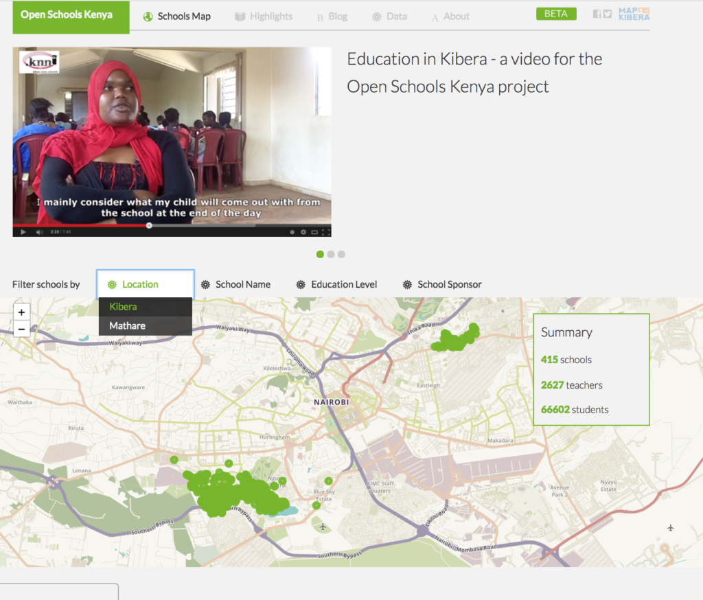
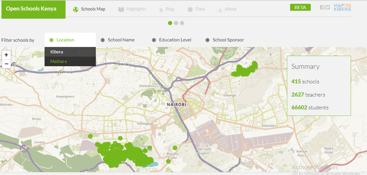
In 2017Â Map Kibera kept up with changes to the Open Schools Kenya data. We along with our interns checked if the schools were still in the same location and if they had moved, we collected coordinates of their new location and updated the details on the site. We were also able to update school populations (for both teachers and students), changes in school management as well as any other co-curriculum activities that are offered in the schools. This was followed by an update to the website, where we added a search by location filter which enables you to view the schools’ data in both Kibera and Mathare, the two locations that we have rolled out the OSK work. Look for more changes and additional locations in OSK in 2018!

A screenshot of the updated Open Schools Kenya website with the new search by location feature
Open Schools Kenya has been recently updated, and we are now starting to add schools in Mathare! Working with Youth Mappers chapter at the University of Nairobi, Map Kibera has so far covered the “Mathare Village” area.  We are working to expand coverage to the entire Mathare slum, where Map Kibera has previously mapped and worked with citizen journalists (see Voice of Mathare and Map Mathare). OSK is also updated with new information on Kibera schools, including a number of closures, relocations, and new schools. Simply keeping the data current on the Kibera schools is a challenge, but schools are often in touch about changes. And, keeping our eyes and ears on the latest happenings in the community is after all what we do best.
The total number of mapped schools is now 415, including 355 in Kibera and 59 in Mathare. We hope to have all of Mathare covered in the next few months, and continue to expand coverage in 2018 to other areas of Nairobi and Kenya.
Please also see this recent research about Map Kibera for Making All Voices Count, which particularly notes OSK’s local impacts as a major achievement for open community data!