by: Peter Agenga November 25th, 2020 comments:
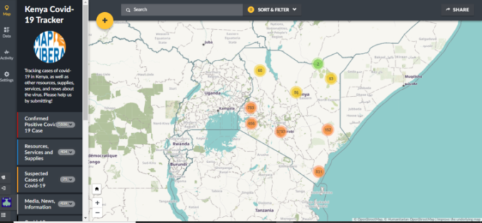
The Kenya covid tracker main page, with map showing distribution of cases, resources and other posts
2020 has been a unique year owing to the fact that the whole world was brought to a stand-still by a global pandemic. Kibera and other informal settlements of Nairobi weren’t spared either. Most of the Kibera residents work as casual labourers and due to the regulations set up by the government, the majority of the residents lost their jobs while some had to shut down their business. This left most of them having to rely on well wishers for any form of support.
In response to this, many organizations came up with initiatives to support the community; this varied from sensitization activities, food and soap distributions, setting up hand wash points and other relevant resources. Map Kibera, having worked with these organizations in other events and activities, partnered with them to:
- Map out their activities and post them on the Ushahidi-based Kenya Covid-19 tracker; this included training them on how to post their work and offering support in posting them where necessary.
- Directly support the programmes they were implementing on the ground.
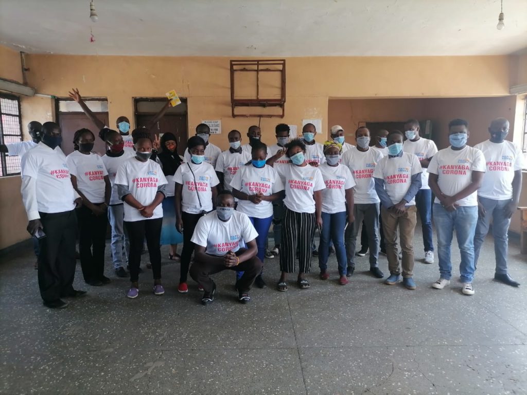
A group photo with representatives of different organizations in Mathare.
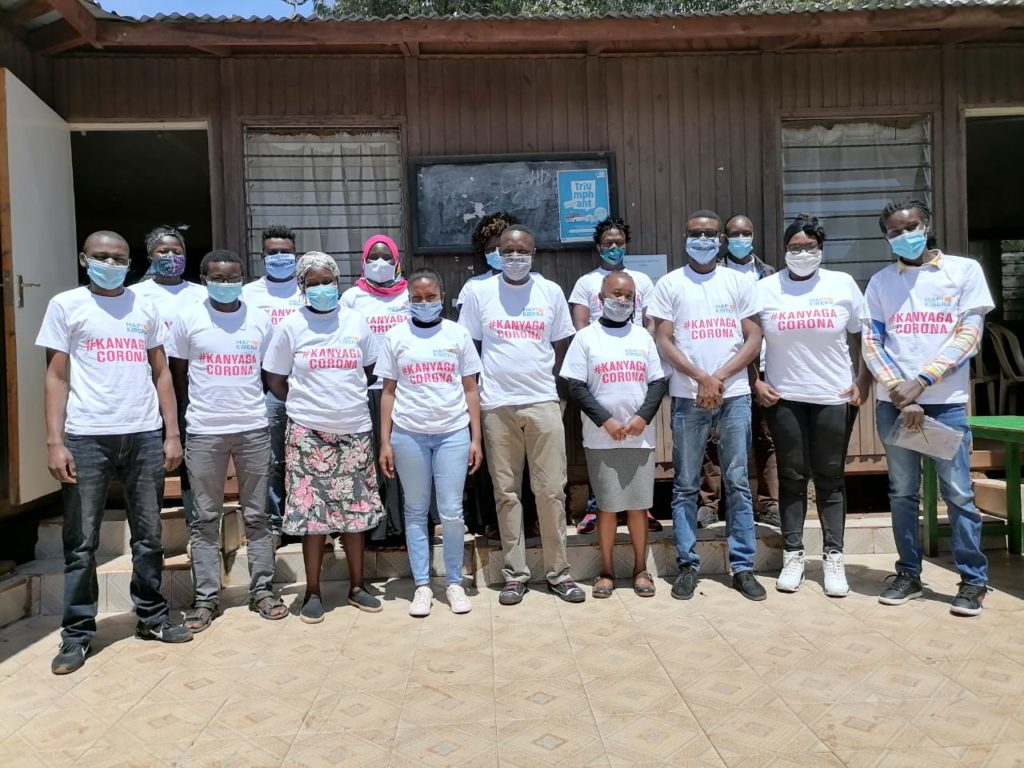
A group photo with representatives of different organizations in Kiber
Mid this year Map Kibera was awarded the 2020 Rapid response Micro-grant funds by Humanitarian OpenStreetMap Team (HOT) to support our Ushahidi deployment. We created the site for tracking Covid-19 cases, resources and news related to Covid-19 —primarily in Kibera as well as the other informal settlements of Nairobi, but also other parts of country. The goal was to keep this information together in one easy place, allowing people to see what is going on around them that might be relevant to them. This was also to aid in our efforts to keep Kibera, one of the most vulnerable communities to illness, healthy during this pandemic.Â
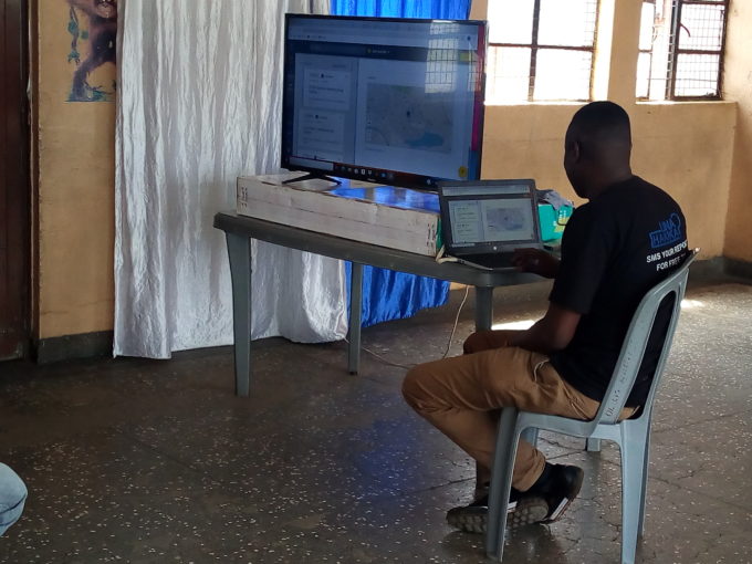
Joshua doing a live demo of how the Kenya Covid Tracker platform works
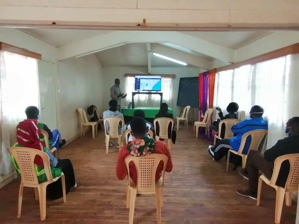
Joshua introducing the project to the team from different organizations in Kibera
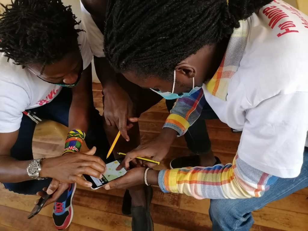
Some of the participants testing how to add posts on the Ushahidi platform using their mobile phones.
The team had already started working remotely, and therefore made use of the online tools for accomplishing the mapping tasks involved in the project. The team used tools like Maps.Me, healthsites.io, and of course OpenStreetMap to work on all the mapping tasks that were agreed upon. The initial training was conducted in form of webinars through Zoom and Google Meet; this was because of government directives on safe distancing to prevent the spread of the coronavirus. As the tools mentioned above suggest, the goals of the mapping activity were the following:
- To train community volunteers on how to add and edit information remotely on OpenStreetMap
- To ensure timely and accurate health data on OpenStreetMap
- To improve coverage of maps on health in the country (especially on informal-settlements)
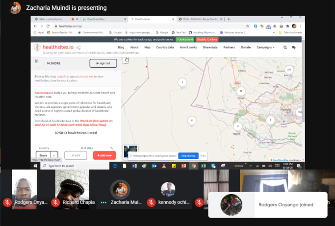
Screenshot of one of the webinars we hosted
Â
Amidst the pandemic, one unique thing that has prevailed is how resilient we can be as humans. In Kibera, our news team KNN captured a story of a lady who used donations given to her to start a business, hence having a more sustainable means of supporting her family.All these various activities have enabled the organization to achieve new milestones with regards to Open Data. Since map data is dynamic, the Map Kibera team has been able to create new data, and update already existing data. One way has been through data import; around June, we worked closely with UN Habitat by assisting them to mobilize youths from Kibera who we have engaged previously in some of our mapping activities. The exercise saw the team collect basic information about specific features in Kibera relevant to the Covid pandemic. After the exercise, we uploaded this open data into OSM. Considering Map Kibera has done extensive mapping in the area, we needed to ensure there were no duplicates, and if the feature had already been mapped, to update the feature with the new data. The data import process has been documented on wiki. So far we have managed to add and update over 1400 features on OSM in Kibera and Mathare. Later on UN Habitat shared more data with us to import, this saw us cover new areas such as Kawangware and Kisumu (the import for the two new locations is still ongoing).
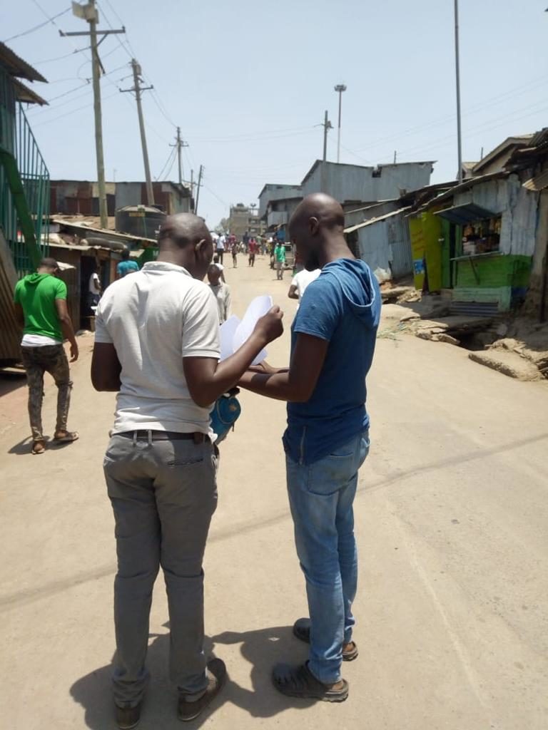
Our team members from Mathare while on the field to cross-check and verify the data that was imported and checking for any extra information that was not captured.
We also have recently trained more community ambassadors on the use of various mapping platforms that are freely available and accessible to the public. This wouldn’t be easy to achieve without the financial and moral support from HOT and all the parties that were involved in the Micro-grant Program.
by: Erica November 7th, 2017 comments:
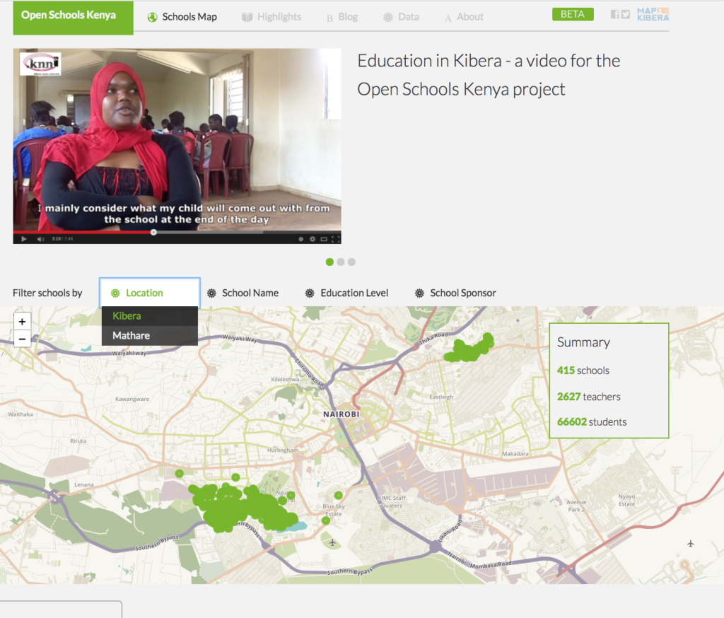
Open Schools Kenya has been recently updated, and we are now starting to add schools in Mathare! Working with Youth Mappers chapter at the University of Nairobi, Map Kibera has so far covered the “Mathare Village” area.  We are working to expand coverage to the entire Mathare slum, where Map Kibera has previously mapped and worked with citizen journalists (see Voice of Mathare and Map Mathare). OSK is also updated with new information on Kibera schools, including a number of closures, relocations, and new schools. Simply keeping the data current on the Kibera schools is a challenge, but schools are often in touch about changes. And, keeping our eyes and ears on the latest happenings in the community is after all what we do best.
The total number of mapped schools is now 415, including 355 in Kibera and 59 in Mathare. We hope to have all of Mathare covered in the next few months, and continue to expand coverage in 2018 to other areas of Nairobi and Kenya.
Please also see this recent research about Map Kibera for Making All Voices Count, which particularly notes OSK’s local impacts as a major achievement for open community data!
by: Adele May 10th, 2017 comments:
Misinformation and disinformation pose a challenge to development, governance, public health, and human security efforts around the world.
Una Hakika logo
As communications technology has become more widely distributed in the developing world, the spread of inaccurate, incomplete or fabricated information is an increasingly significant threat to peace and stability, particularly in regions with limited access to reliable third-party media. Through the use of WikiRumours, a workflow and technology platform, it is possible to count the spread of false information ensuring transparency and early mitigation of conflict.
Map Kibera Trust together with The Sentinel Project have launched the “Una Hakika?†project (in Eng. “Are you sure?â€) in two different informal settlements of Nairobi: Mathare and Kibera. Before, during and after the elective season, people can subscribe and report rumors anonymously through SMS free of charge at the number 40050. All the rumors are collected on the WikiRumors, prioritized and verified through a network of trained Community Ambassadors on the field and trusted sources, whether they are true, false or impossible to verify. Through the same platform, the verified information is then sent in a SMS to all the subscribers interested in that area, in order to avoid the beginning of possible violence and the spread of misinformation. Moreover, people can also report rumors calling for free the number 0800722959 or directly contacting the Community Ambassadors in their area. Intervention, when necessary, might be the last step of the process, aiming to involve community partners such as chiefs, elders, youth leaders and women’s representatives.

The Una Hakika workflow
On the 8th March, celebrating the International Women’s Day, Map Kibera Trust in partnership with Mathare Peace Initiative and The Sentinel Project launched the “Una Hakika?†project in Mathare.

Joshua Ogure speaking at the launch of the Una Hakika? project in Mathare
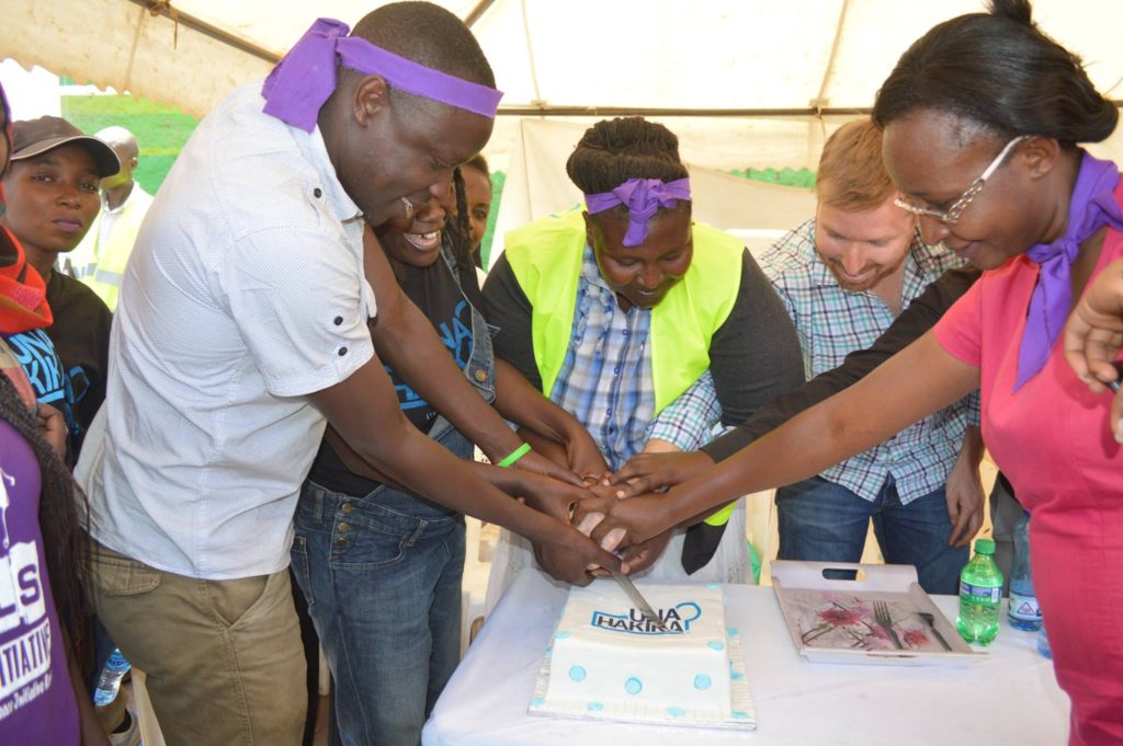
The launch of Una Hakika? project in Mathare
On the 14th April, the project was launched also in Kibera by Map Kibera Trust in partnership with The Sentinel Project and Carolina for Kibera, promoting also Sports and Art initiatives for Peace. The launch saw different groups performing Art, coral verse and inter-ward football teams play at Undugu grounds Kibera.
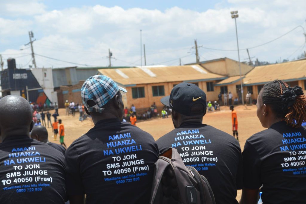
Una Hakika? launch event in Kibera
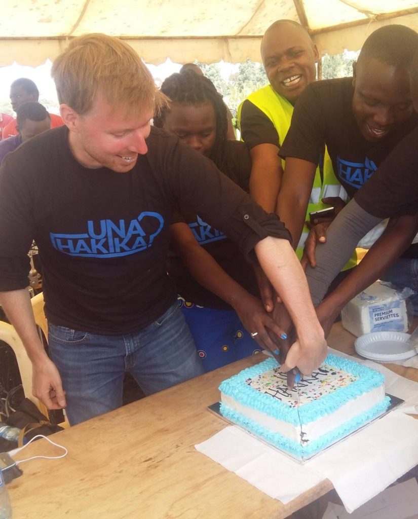
Una Hakika? launch event in Kibera

Una Hakika? launch event in Kibera
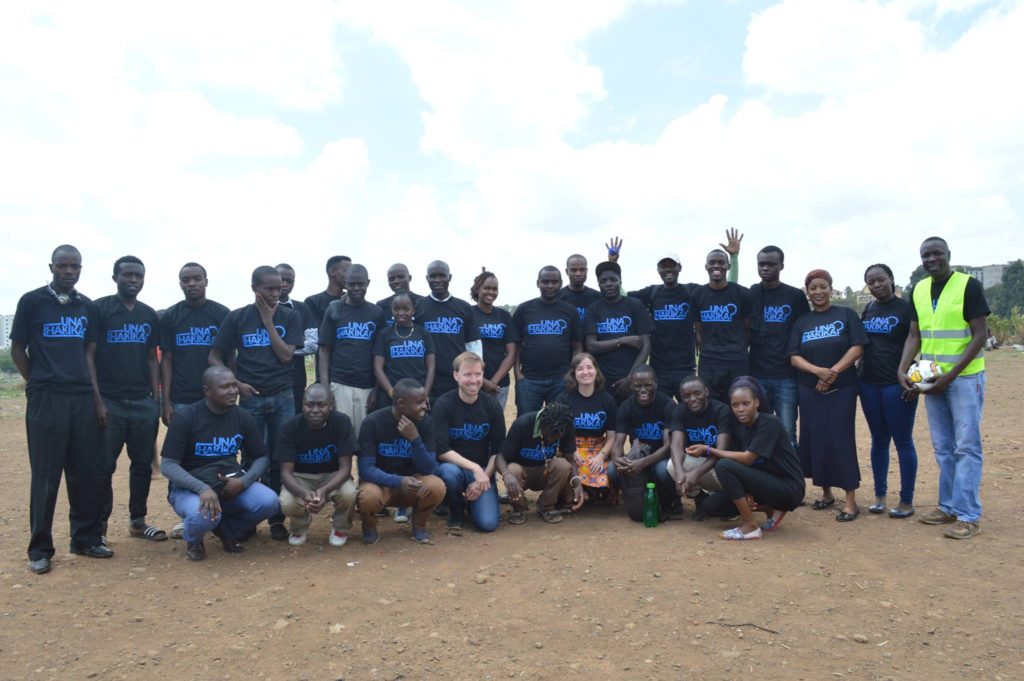
Community Ambassadors and Map Kibera staff at the Una Hakika? launch event in Kibera
For more updating, follow the Facebook page of Una Hakika? Nairobi.


