Map Kibera recently embarked on the training of high schools in using OpenStreetMap and basic skills in open mapping. In partnership with YouthMappers the training has been customized to go beyond mapping since it aims to promote capacity building that will prepare high school students to join the competitive tech world.
The pioneer school benefiting from this OSM training is called Kibera Girls’ Soccer Academy (KGSA). It is located in Makina village in Kibera.
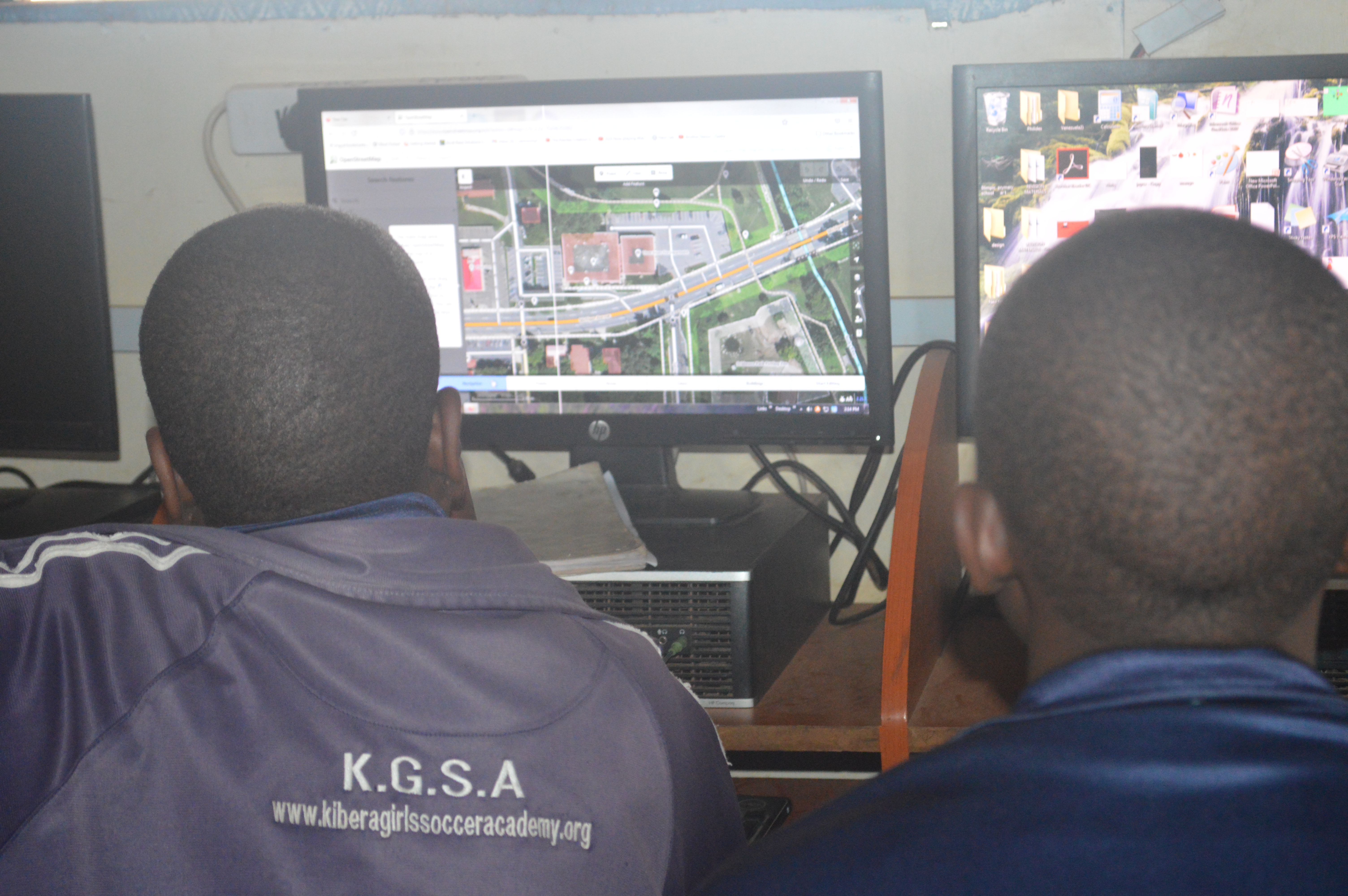
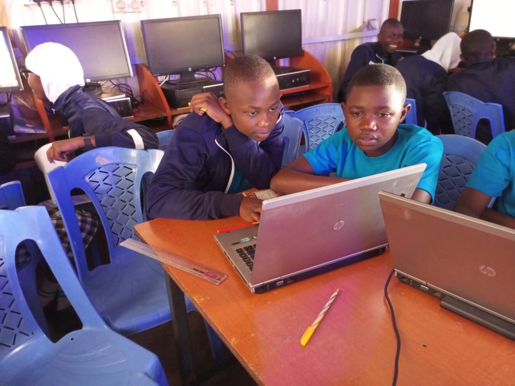
The school is among the few in the slum that has a decently equipped computer lab in which the students can hone their technical skills.
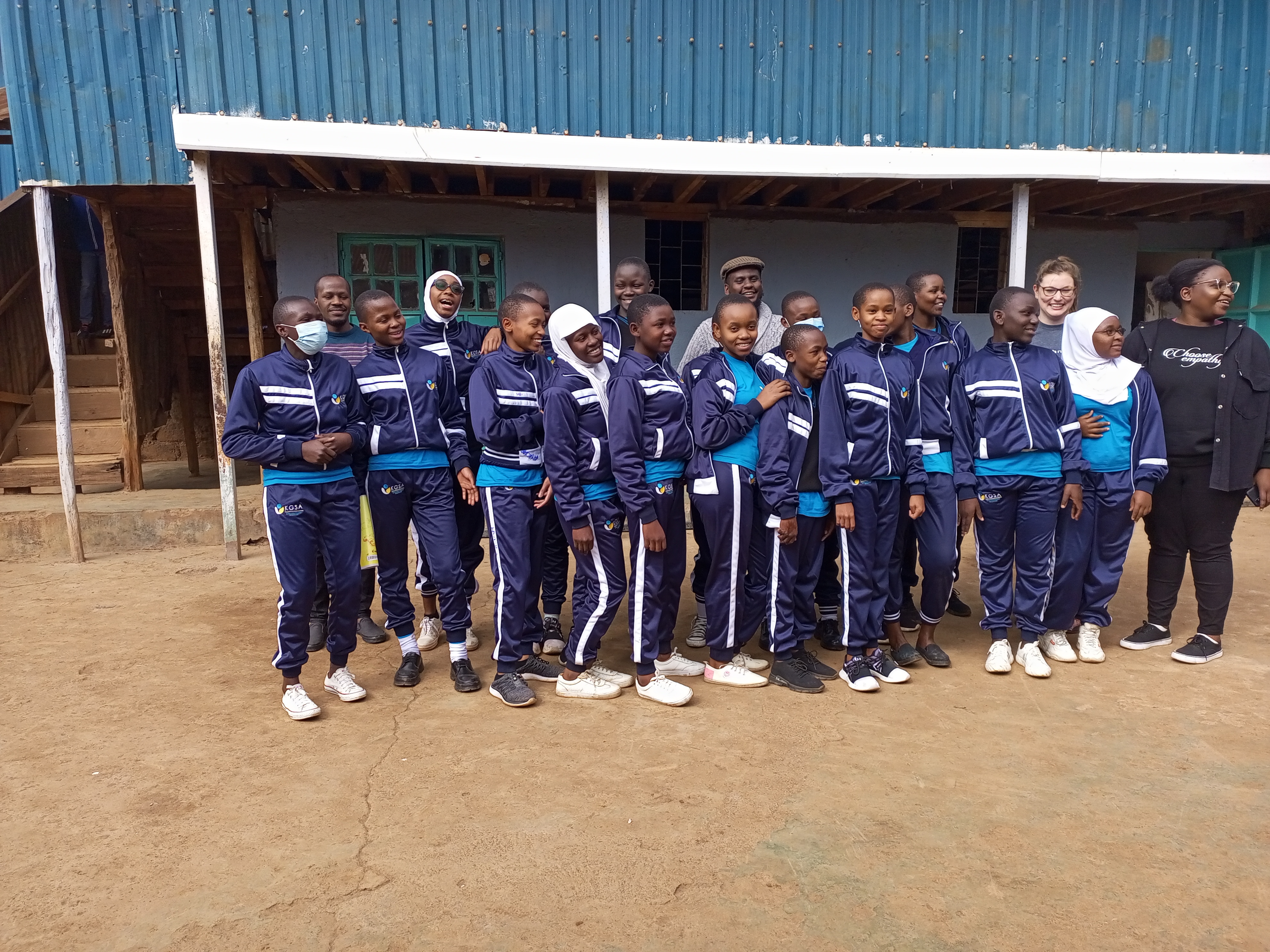 KGSA Students taking a group photo alongside Map Kibera team and YouthMappers’ team representatives
Objectives
The aim of the training program is to achieve the following:
- To ensure inclusivity of marginalized groups i.e. girls (from Kibera) in the technical space of GIS mapping and more. In recent years we have seen lots of women getting involved in open mapping projects, through this training we anticipate having more girls joining the space and also starting them this early. We hope through this that the gender gap that has been experienced in the OSM community will narrow down.
- To equip the students with skills in open mapping specifically on OpenStreetMap
- To introduce high school students to careers in mapping(GIS), Geography, and technology. And whether they take a different path in their country, it’s good to remind them that they can be a doctor or a lawyer and still be an active contributor.
- To increase map coverage by involving more people in open mapping on OSM.
- To explore training different groups i.e. high schools other than universities and organizations on open mapping; so that we can use this as a module to train other similar groups in the country.
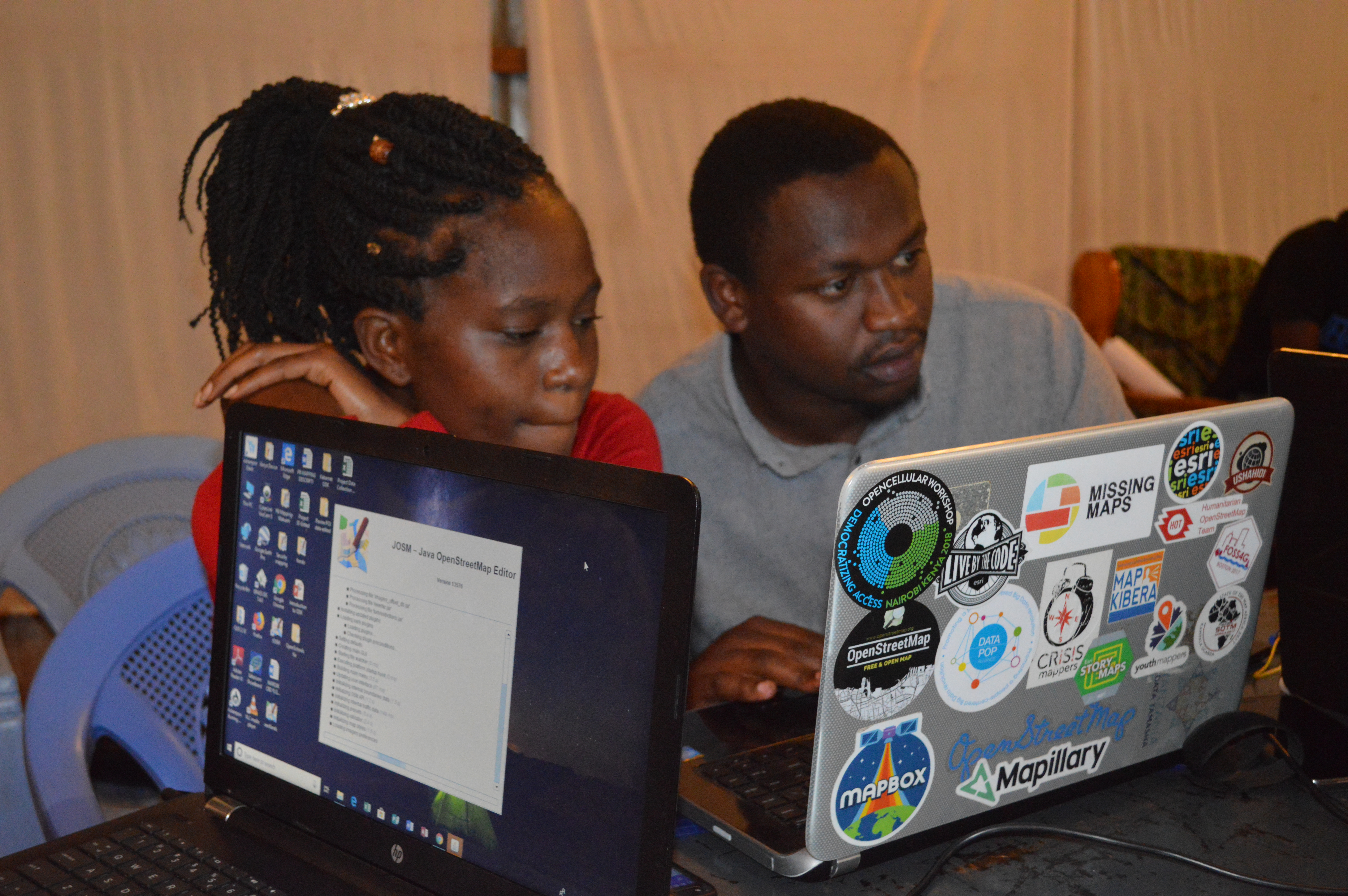
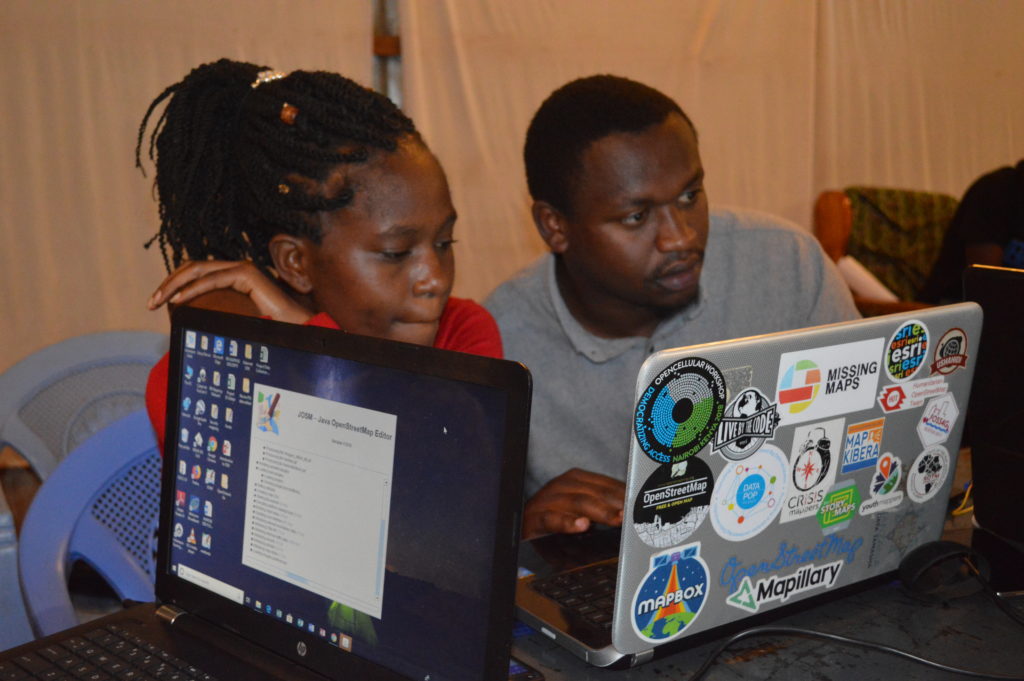
Students getting hands-on editing using iD editor walkthrough
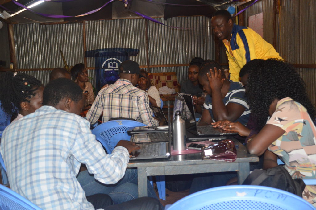
Progress
For this training, we have borrowed the teachOSM module, which is geared at introducing OSM to high schoolers. We have so far covered seven modules out of the twelve in the past three months (May to September).
The training has been open to all students since OpenStreetMap is all-encompassing with regard to the application of open data.
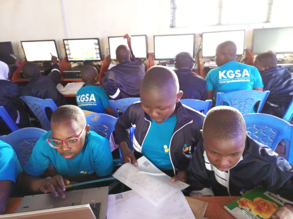
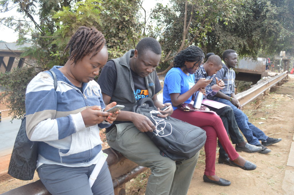
Students use field papers to identify points missing on the map and what needs to be added.
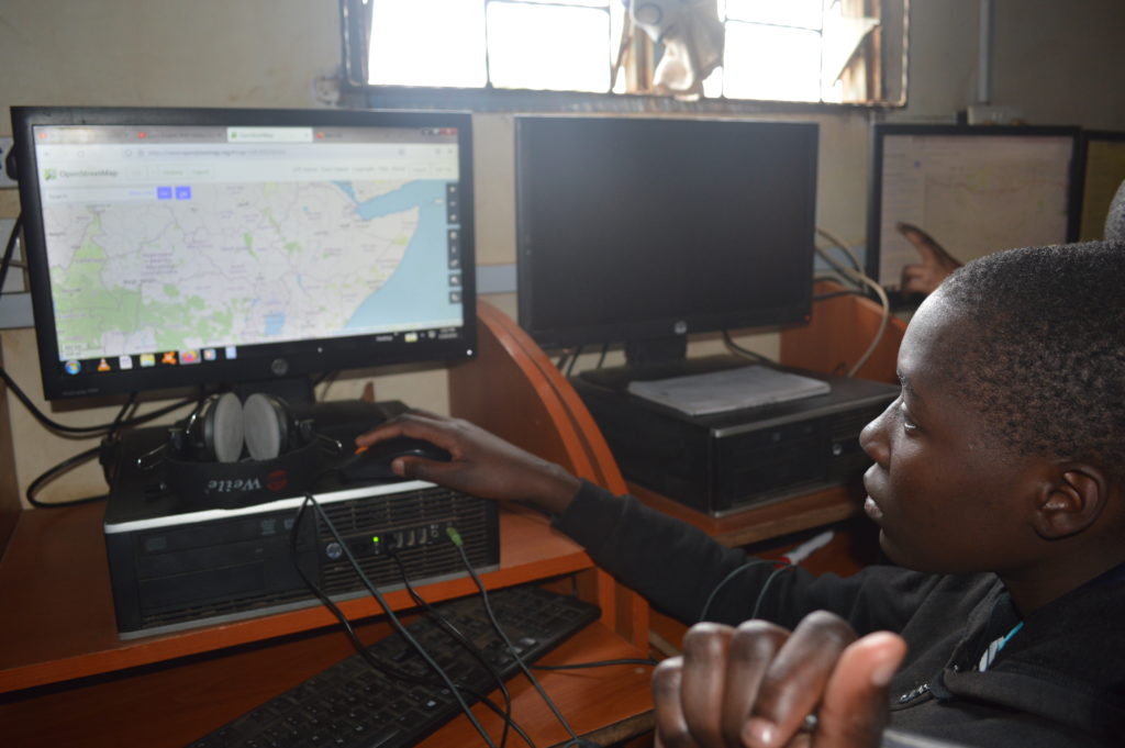
Eye on the data.
Looking forward
- Our earnest desire would be to ensure continuity of the OSM training and probably scale up to other locations of the country.
- We also hope that by the end of the training program, the students will have been equipped with skills that they can build on after their high school diploma.
- The training is also wired to be closely tied to the school curriculum to ensure relevance and harmony with the Kenyan high school education system.
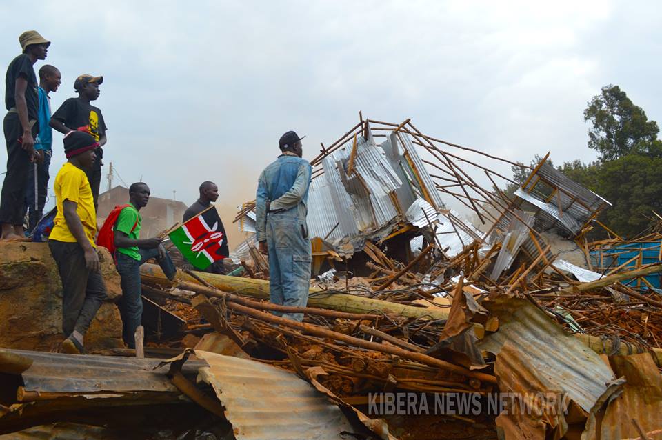
2018 is a year that most of Kibera residents would really like to forget. In the last 6 months, the residents of Kibera have been waking up to the sounds of bulldozers in their neighbourhood- not for purposes of evading traffic along Lang’ata road or Ngong Road. This time they had come with one purpose, to bring down structures which most of them had called home. To some, it was their business which ensured that they had something on the table at the end of the day. And to others these structures served as schools where their children went to learn and get the necessary knowledge that would prepare them for the market place and change their lives forever.

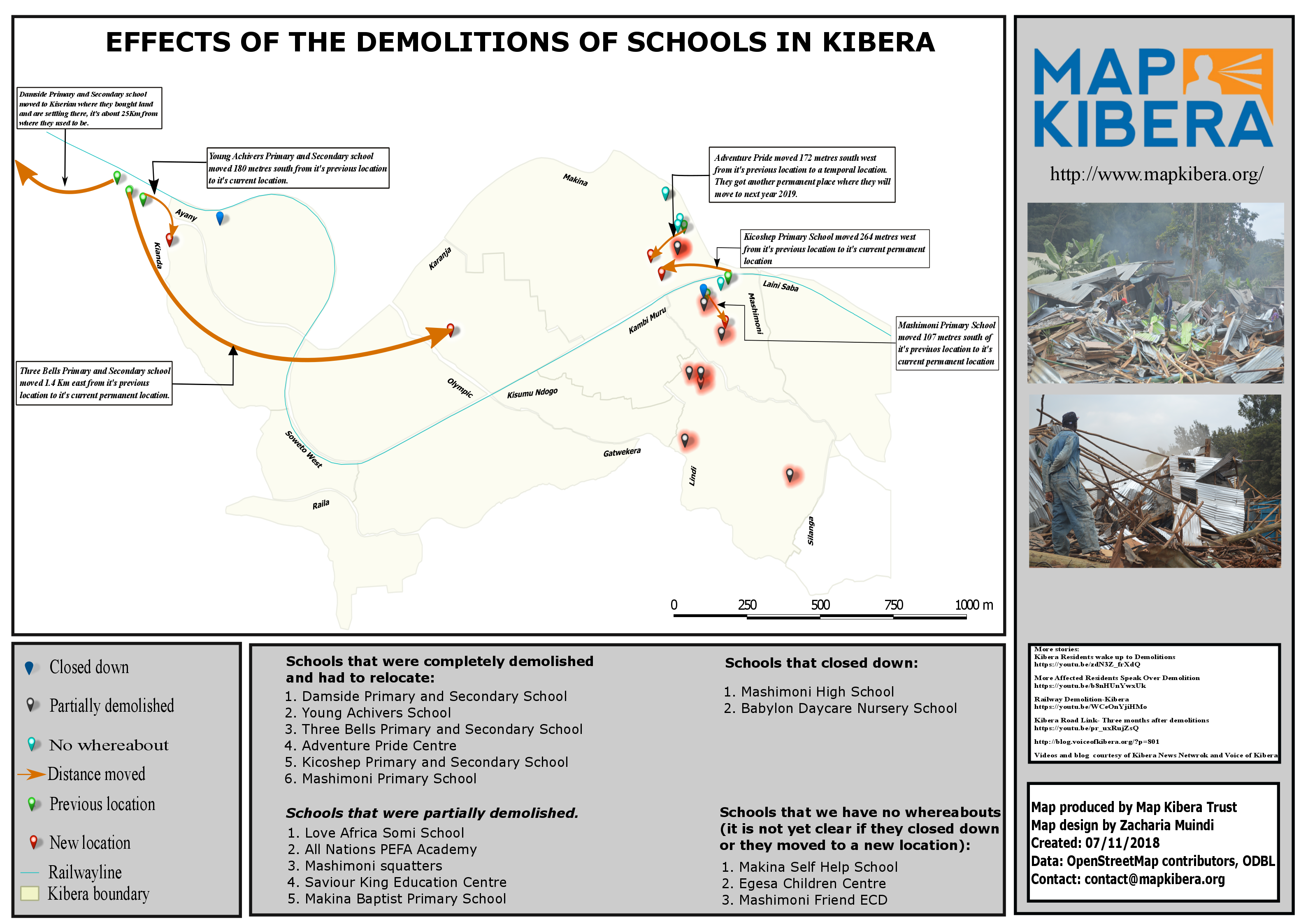
A map designed by Zack Wambua showing the effects of the demolitions of schools in Kibera (click image to expand).
The demolitions in Kibera affected 4 schools that were located near the railway line around 42 area and 10 more schools were affected when structures were demolished to pave way for the construction of Kibera Link road (the road meant to link Ngong road and Lang’ata road to ease traffic on Ngong road).
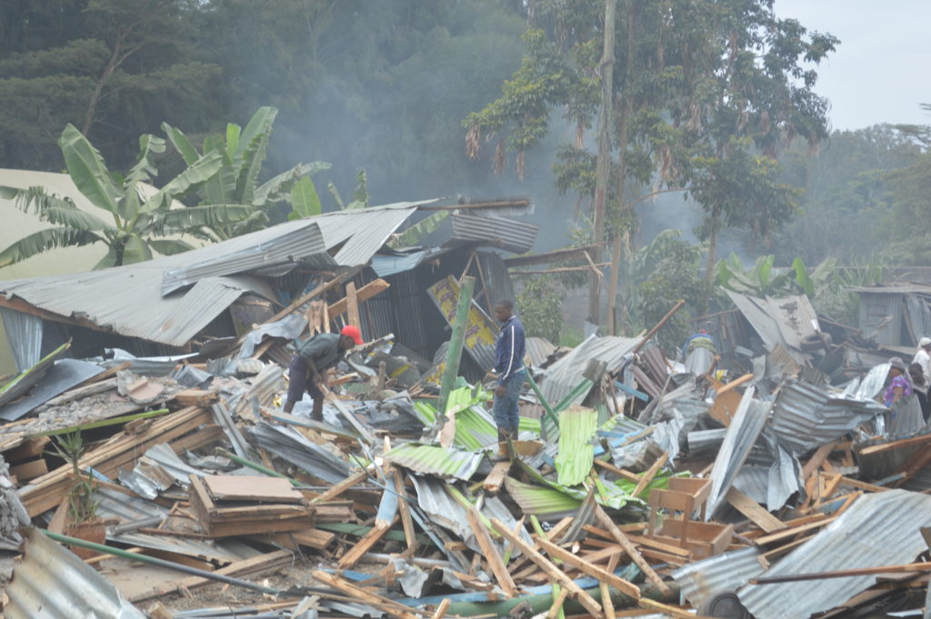
Demolition of structures that are along the railway line at 42
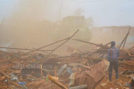
A bulldozer brings down structures around the DC’s place.
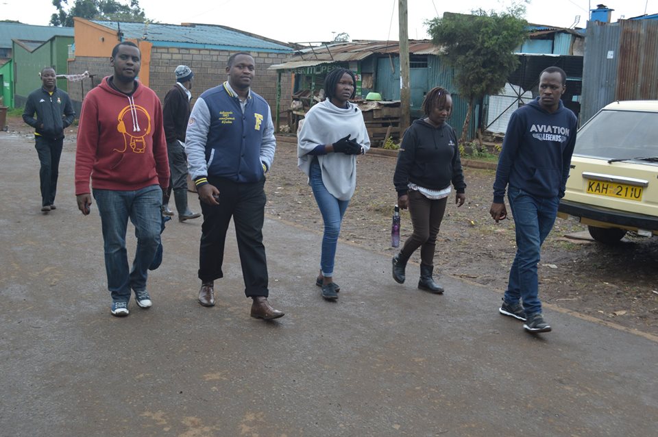
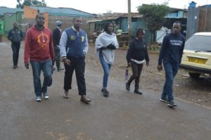
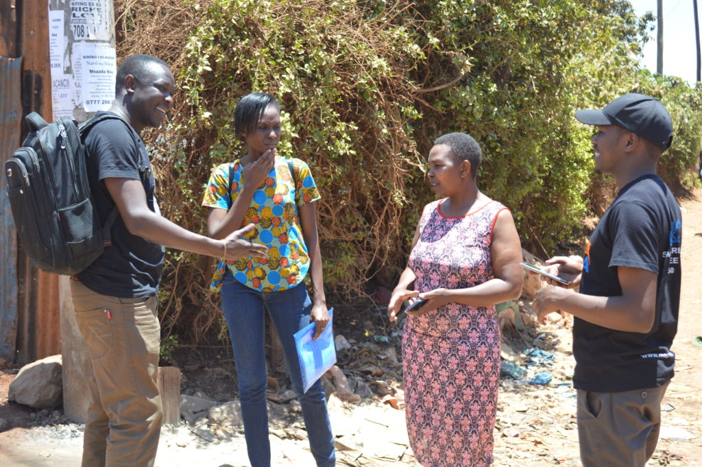
After all these incidents Map Kibera team went back to the field to track the schools that were affected and update their current location on the Open Schools Kenya website. On our way, we stopped at Babylon Day Care to talk to the school head (who also happens to own the school) to find out if she knows where some of the demolished schools might have moved to. In between our conversation, we learnt that one of her other schools had also been demolished. Her face was filled with grief and sadness as she explained to us how she was forced to take some of her students to the nearest schools because she had nowhere to take them. We asked if she intends to reopen her school again and she told us she doesn’t see the need to and if she gets that chance again she will only do that in her rural place. After our short talk she shared with us the contacts of another school called Damside Preparatory that was affected and told us that the principal of that school would be in a position to tell us where the other schools relocated to.
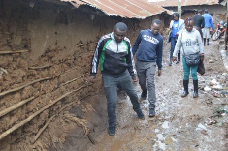
In some area we had find a way through the muddy footpaths to find the schools
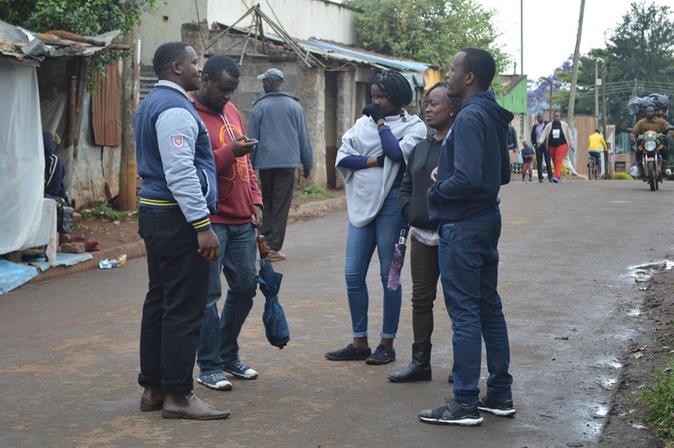
I quickly saved the number on my phone and proceeded to where we had been directed. When we got there, we were met with a vast empty land and the remains of what used to be people’s homes and schools. I called the school head and after a brief introduction he told me to go to where the school used to be as he was already there. We went through the rubble and after few miles we saw a group of people standing together. When we got to where they were we quickly introduced ourselves. The school head introduced the team that he was with, which comprised of class 8 candidates and two parents. The school head reminded us that the place where we were standing on is where their school used to stand and they were meeting there to finalize on their preparations for the forthcoming national exams. We were curious to find out where the students will sit for their exams now that the school had been demolished.
“The government offered space for the students in one of the nearby public school and so that is where they will do their exams,” said the school head.
“So what is next for the school? Have you found a place to move to?” we asked.
“Yes we got a place, we bought land somewhere close to Kiserian and that is where we have moved to,” said the school head. He went on to say, “So far we have been able to construct 2 classrooms and a dormitory. The plan is to have the school operate as a boarding school.”
“But that’s too far from Kibera, what happens to your students who live in Kibera?”
“I agree that’s far and the move has proved to be a challenge to some of our students since majority of them were needy and so they cannot afford all the requirements to be in a boarding school. We would have loved to move closer but where in Kibera can we move to? We all know how hard it is to get land let alone to get a title deed.”
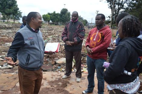
The School Head of Damside narrating their ordeal
The school head went ahead to recount how they had incurred a lot of losses as a result of the demolition. He had just acquired the code to make his school an exam centre, a process that had cost him 100,000 KSH. In addition, he had just finished building a laboratory earlier this year that also cost him a large sum of money.
Afterwards, the school head agreed to an impromptu interview with members of our media team, Kibera News Network, who had accompanied us (check out their video here!). He also asked us to interview one of the parents and a student so that they can share their side of the story.
The school head later told us where the other schools moved to. One moved to a nearby SDA church, another pitched tent in a nearby health dispensary and the other one moved somewhere along Karanja road.

After saying goodbye, we left to find those schools and pick the coordinates of their new location. On our way we couldn’t help but think of what some schools have had to endure as a result of the demolitions. Some have been left counting

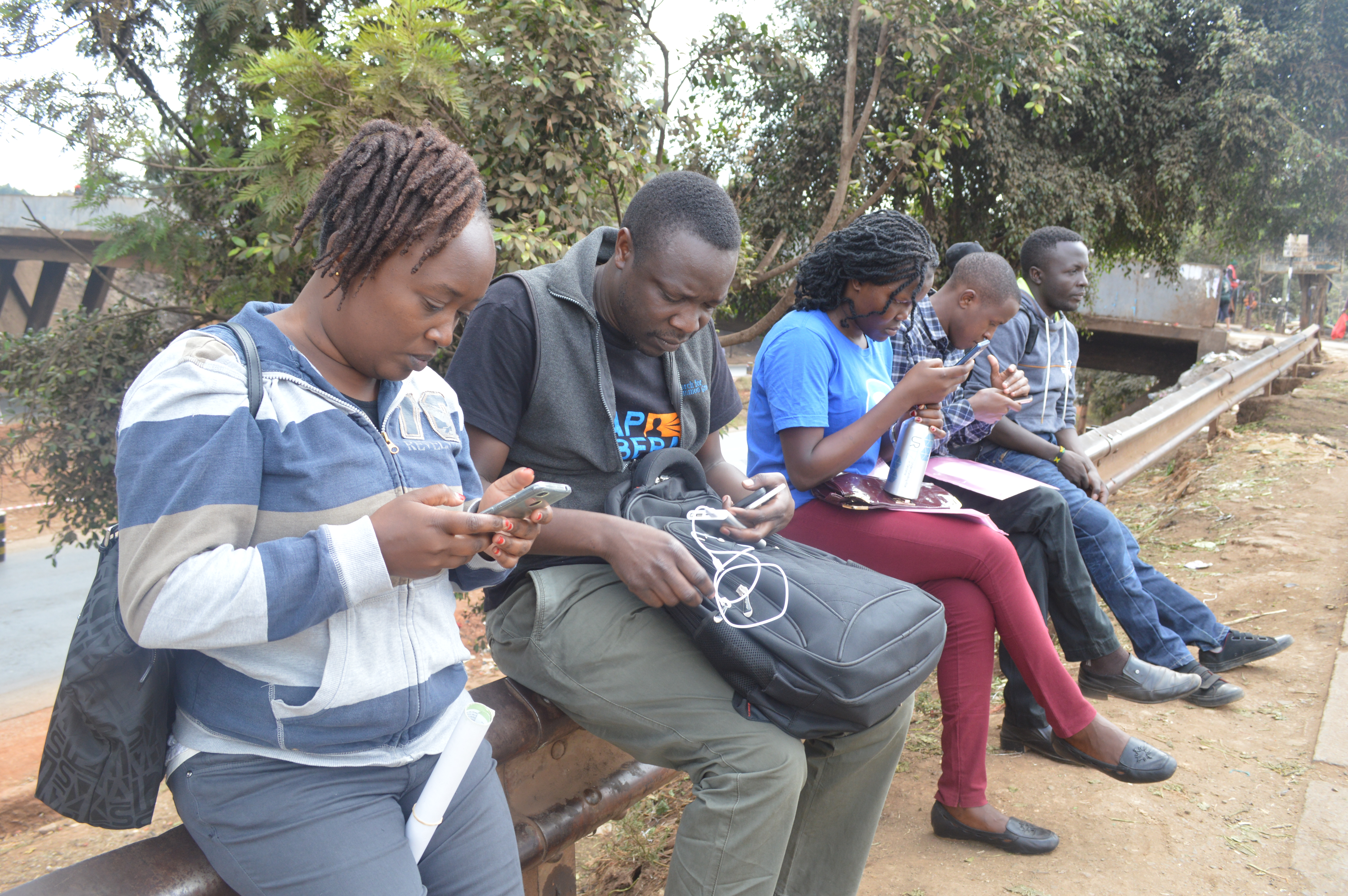
Sam picking coordinates of where one of the schools moved to.
losses, some have been forced to shut down. Others have had to partition some of the rooms to accommodate the number of students. Parents had to go through the hustle of looking for a new school and the most affected group is the students that have to walk a long distance to their new school and at the same time adapt to the new environment. I can’t imagine what could be going through the minds of class 8 and form 4 candidates. How are they supposed to compete with students from other schools considering what they have been through? While other students were in classes reading, students from the affected schools were busy trying to salvage what they could from the rubbles of what used to be their classroom. While other students are reading their books, students from these schools lost all their books during the demolition. The few books that they could salvage would have to be shared amongst themselves which means that they don’t get a chance to carry the books home with them to read.
We will continue to follow up with the schools, and update their information and locations on Open Schools Kenya.
Open Schools Kenya is a great initiative that seeks to make data about schools available and meaningful to the public and stakeholders in the education sector through mapping. The idea initially started in Kibera and the rigorous mapping exercise saw slightly over 300 schools mapped in the region. What has followed ever since has been a success story. The mapping of schools has made it easier for parents to make informed choices when sending their children to school. The mapping of schools has also made it easier for the relevant authorities to know about and follow up with schools and contact them without having to hustle for their contact details like before.
Moving forward, Map Kibera was first in line to assist in the implementation of the same idea of mapping of schools in Kangemi with the generous support of Indigo Trust. Map Kibera offered training to participants from Kangemi to map their local schools, with support from many including the MP of Westlands Constituency, Hon.Timothy Wanyonyi, Evans Onchiri, the APBET (Alternative Provision of Basic Education) Coordinator for Kangemi, and the District Education Officer Julius Mburu.
 We had a total of twelve mappers with seven of them being locals from the region, and the rest from the Map Kibera team. Lead mapper from Kangemi was Sharon Adhiambo, who had previously worked with Map Kibera on trainings while a member of Youth Mappers at Moi University. The selected wards were Kangemi, Kitusuru, Mountain View, and Parklands. The training started on Thursday 13th of September and we proceeded to the next day taking the trainees through OpenStreetMap, Open Data Kit (ODK) and Java OpenStreetMap (JOSM).
 The mapping exercise commenced on Monday 17th September and each of the 6 teams was allocated a specific area to cover. The field work proceeded quite well and the mappers were well received in most of the schools they visited. The entire mapping exercise took a total of fourteen working days and despite the challenging task the mappers managed to cover all the schools in the designated wards. My team specifically mapped the highest number of schools since the schools were concentrated in the area. Â
With the support of the community and leaders, this exercise has already covered more than 250 schools which are now on OpenStreetMap, and will soon be added to the Open Schools Kenya website. Please check back for more updates soon!