Map Kibera recently embarked on the training of high schools in using OpenStreetMap and basic skills in open mapping. In partnership with YouthMappers the training has been customized to go beyond mapping since it aims to promote capacity building that will prepare high school students to join the competitive tech world.
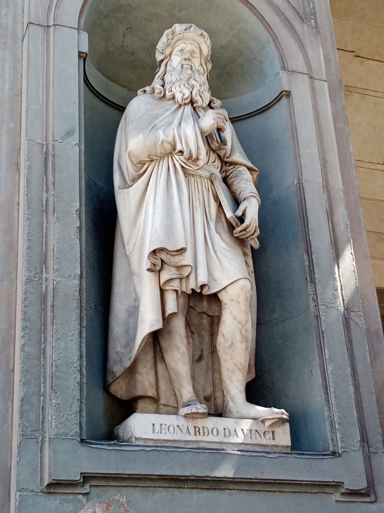
The pioneer school benefiting from this OSM training is called Kibera Girls’ Soccer Academy (KGSA). It is located in Makina village in Kibera.
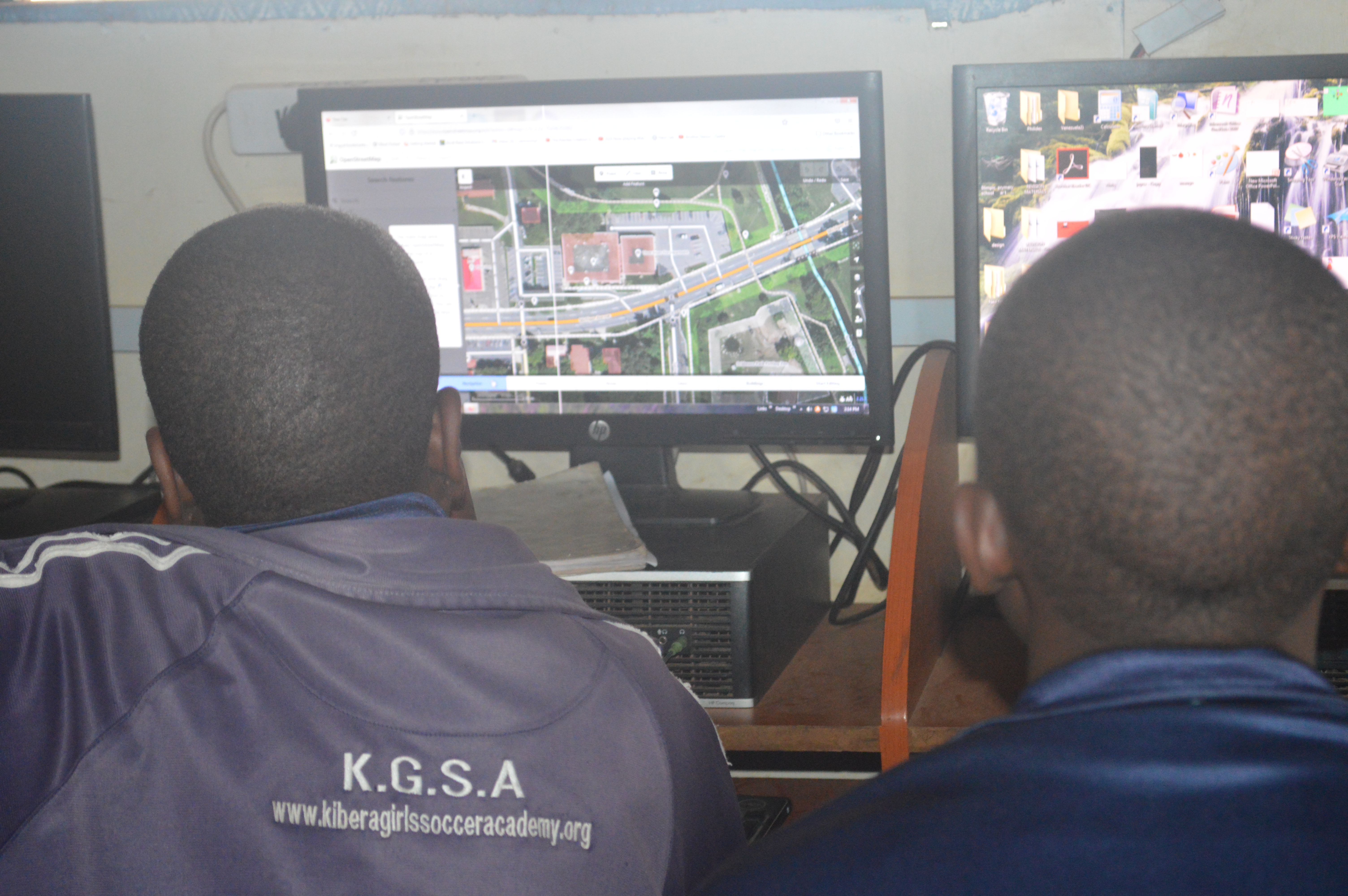
The school is among the few in the slum that has a decently equipped computer lab in which the students can hone their technical skills.
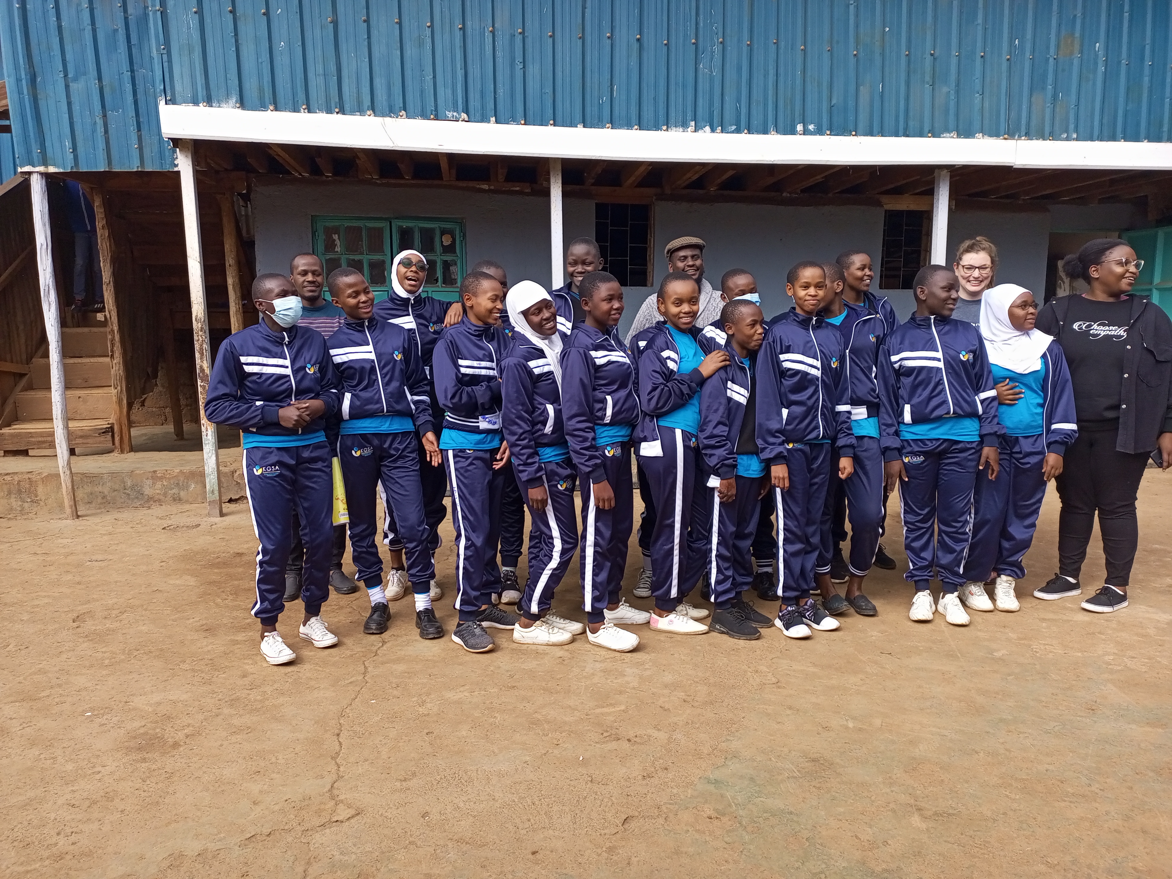 KGSA Students taking a group photo alongside Map Kibera team and YouthMappers’ team representatives
Objectives
The aim of the training program is to achieve the following:
- To ensure inclusivity of marginalized groups i.e. girls (from Kibera) in the technical space of GIS mapping and more. In recent years we have seen lots of women getting involved in open mapping projects, through this training we anticipate having more girls joining the space and also starting them this early. We hope through this that the gender gap that has been experienced in the OSM community will narrow down.
- To equip the students with skills in open mapping specifically on OpenStreetMap
- To introduce high school students to careers in mapping(GIS), Geography, and technology. And whether they take a different path in their country, it’s good to remind them that they can be a doctor or a lawyer and still be an active contributor.
- To increase map coverage by involving more people in open mapping on OSM.
- To explore training different groups i.e. high schools other than universities and organizations on open mapping; so that we can use this as a module to train other similar groups in the country.
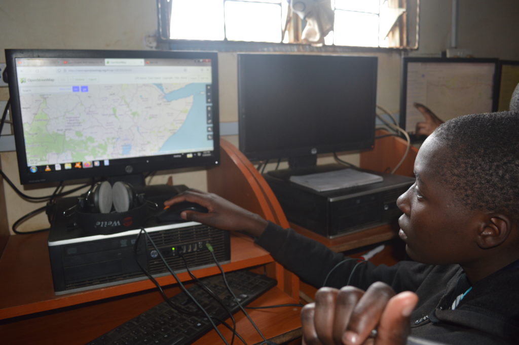
Students getting hands-on editing using iD editor walkthrough
Progress
For this training, we have borrowed the teachOSM module, which is geared at introducing OSM to high schoolers. We have so far covered seven modules out of the twelve in the past three months (May to September).
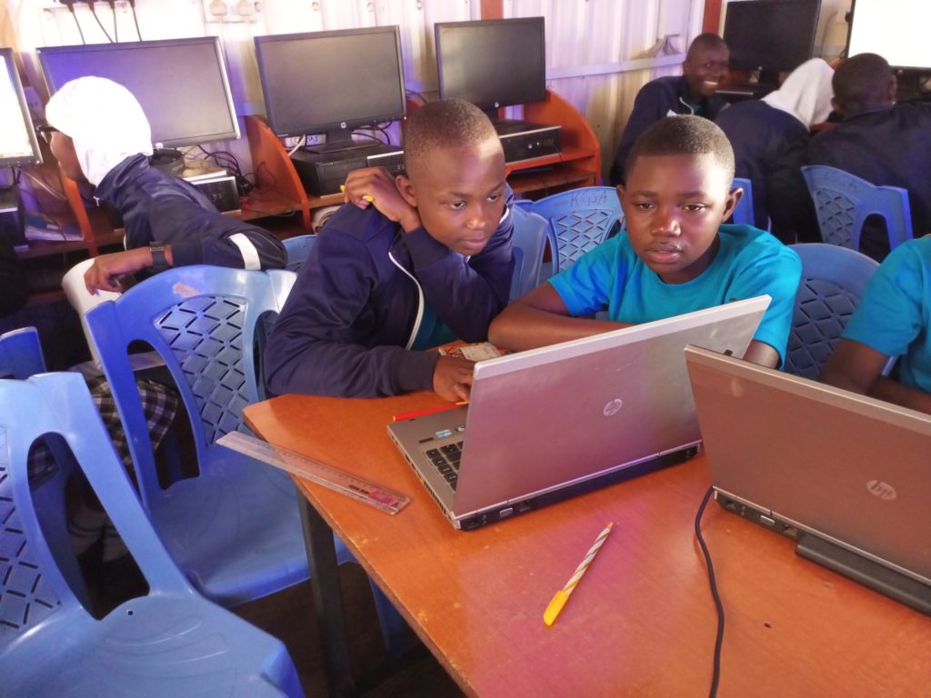
The training has been open to all students since OpenStreetMap is all-encompassing with regard to the application of open data.
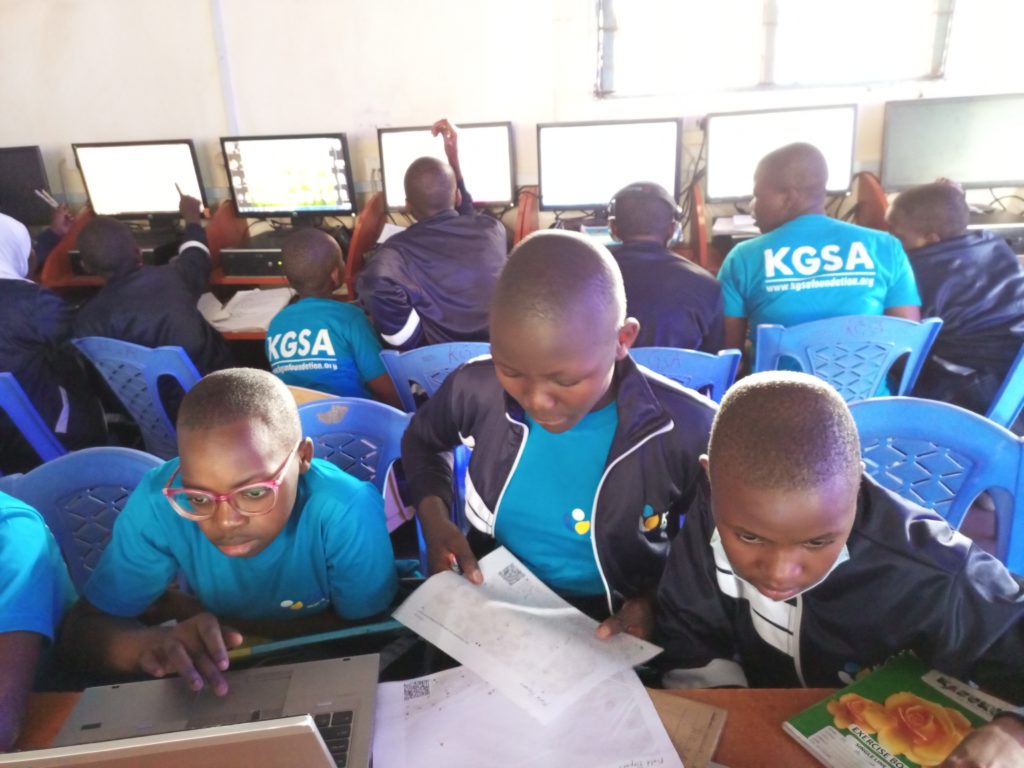
Students use field papers to identify points missing on the map and what needs to be added.
Eye on the data.
Looking forward
- Our earnest desire would be to ensure continuity of the OSM training and probably scale up to other locations of the country.
- We also hope that by the end of the training program, the students will have been equipped with skills that they can build on after their high school diploma.
- The training is also wired to be closely tied to the school curriculum to ensure relevance and harmony with the Kenyan high school education system.
 The journey to Florence, Italy to attend both SOTM and FOSS4G, has had nothing but memorable moments. It all started on a good note, with my visa being processed on a record of two days, considering that my appointment was a day before our general election (The Kenyan election was on the 9th of August), and I was afraid that it may delay the process by at least a few days.
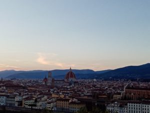
My flight to Florence was a smooth one with 2 stops one in Addis and a long one in Frankfurt, arrived in Florence in the afternoon of 18th August. I want to thank Cristiano and Geoffrey who gave us a heads-up on how to get to the hostel from the airport. On arriving at the hostel, the guys at the reception were so friendly and efficient. I was able to check in so fast and in that process met with Amor from OMDTZ after a quick catch we headed for dinner at Indian restaurant (that later became well known for its nice kebab (shawarma).) The next day I got to interact with most of the unsummit scholars on our way to the SOTM venue. It was interesting to hear how that everyone had their own experience with their flights from long delays, to rerouting, to delayed luggage and so on.
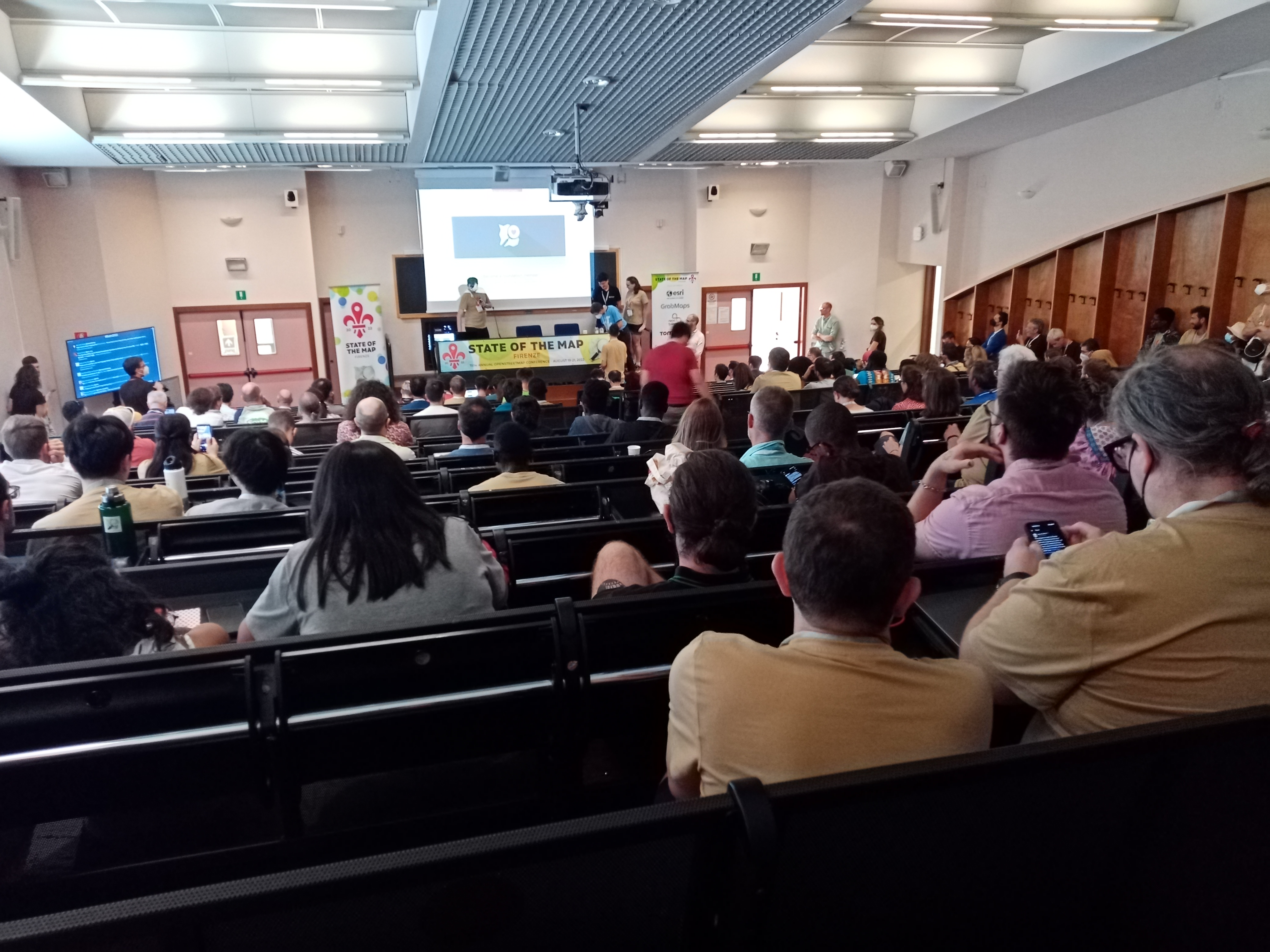
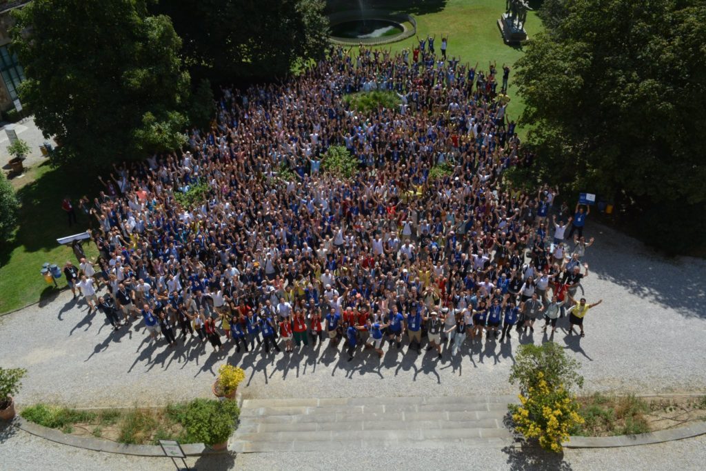
State Of The Map 2022

Even with all those travel setbacks and heavy rain the previous night, the SOTM event kicked off on a high note with Fairhurst’s keynote speech [“State of Independence”](https://2022.stateofthemap.org/sessions/URUJH8/). As always SOTM provides an amazing experience, and it was nice reconnecting with old friends and also getting to meet new ones and learning about the amazing work they are doing in their communities.

Throughout the 3 days, there was an amazing lineup of talks, workshops, and academic tracks both in person and virtual. I got to bookmark several sessions that I found interesting from which I had the opportunity to learn about the amazing mapping tools and new developments, such as MapRoullete and iD editor. If it was possible I would have written about all the sessions, but for now, I will just focus on two HOT unsummit humanitarian sessions and the session on Entry-Level Mobile Mapping.
HOT unSummit humanitarian sessions
The presentations at the summit sessions were quite inspiring and it was really interesting to see how the concept of community mapping has grown over the years. Who would have made them even more interesting other than the session moderator Pete Masters. Moreover, it was nice seeing in most of the presentations that local communities’ voices and their feedback were valued. From the presentation, I also noticed several projects that focused on solid waste management and WASH. Which made me think, maybe it’s time for these communities to come together and share lessons from their projects and their methodology. In doing so other communities can easily pick up what has worked and find also find common solutions to the challenges they encountered. One way to do this would be to host a workshop and bring together all these communities and other interested communities to discuss the above points and document best practices for mapping solid waste and WASH.
Entry-level Mobile Mapping by Kristen Tonga
In this session, it was interesting to see how challenges around mobile data collection are similar across different countries. While these apps are created with good intentions to simplify the data collection process, most of them also ignore some basic things such as internet connectivity and storage. While this may not be a problem in other places, it’s a common challenge in most developing countries. It was so disheartening to hear someone had to delete his memorable photos in order to create enough storage and the app still didn’t work. The reason, why I was excited to attend this session, was because these are the same challenges we continuously deal with and we have to mitigate them by providing phones to the data collectors. In a nutshell, there is still more that needs to be done around mobile data collections and I hope these sessions kicked off meaningful conversations amongst different communities and mobile developers.
FOSS4G
This was my second time attending FOSS4G, after the one that was in Dar, Tanzania 2018. In the Dar event, I, unfortunately, missed out on the first two days. And if you ever attend an event after the first day, there is always that feeling that you’ve missed out on a few things. At least this wasn’t going to be the same this time around as I was going to take part in the conference from the first day to the last day. I was also looking forward to it because I had two sessions that I was presenting, one on the first day and another on the last day.
Major highlight of the two events
1. Volunteering
Well, this was my first time volunteering at any event. I wasn’t sure how to go about it as it felt like a huge task ahead. On the first day, we got a quick orientation and got a bit acquainted with the venue and the different roles we were to help with. After the keynote speech, I had the chance to be a session assistant, which went really well. I was also able to help with other roles throughout the three days and also had a chance to volunteer during one of the two-day workshops in FOSS4G. I want to send a big shout-out to Lorenzo and Anisa for their leadership, they coordinated everything so well and made the whole process smooth for both the SOTM event and the FOSS4G conference.
2. Social events
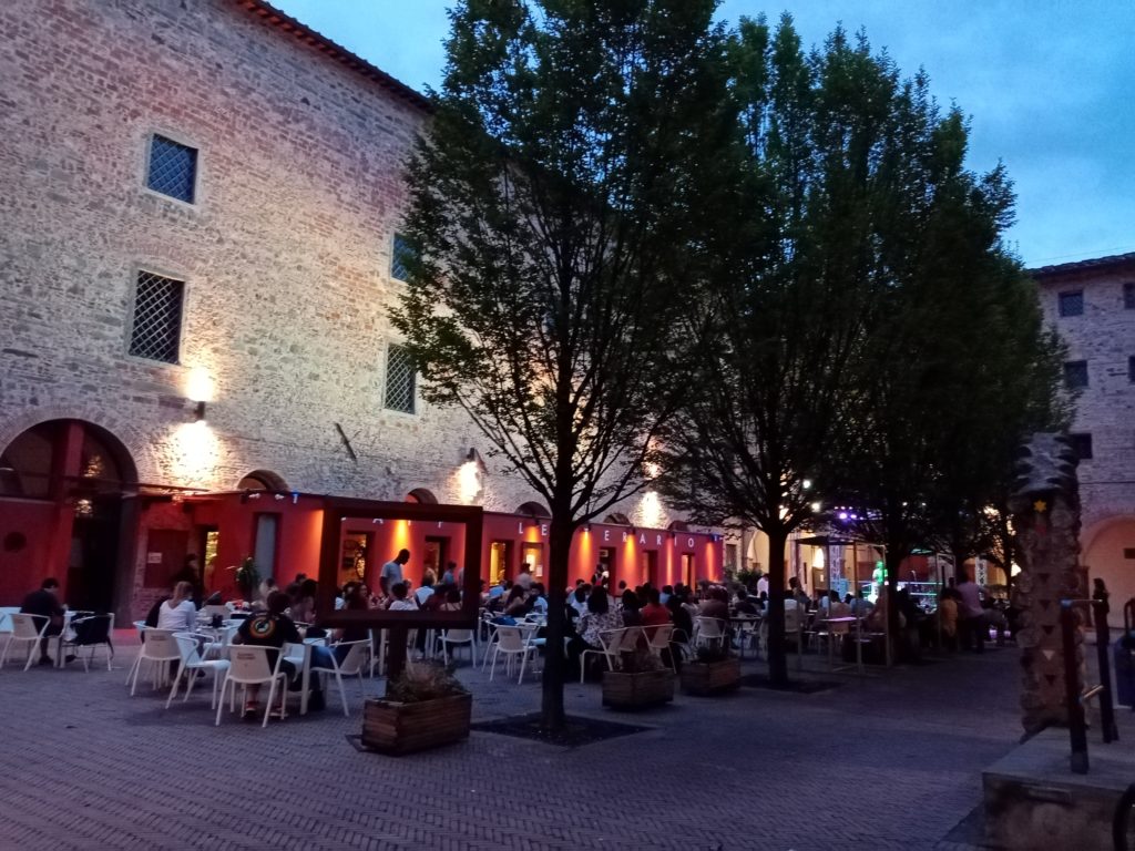
On the evening of the 19th, we had a social event to celebrate World Humanitarian Day hosted by HOT. It was great to hear from various speakers on the impact of OSM in the humanitarian space. It was a wonderful time with great music, drinks, food, and jovial moments of catching up with old friends and connecting with new ones.
On the evening of the 20th, we were able to pick up from where we stopped the previous night. This time around, the local organizing committee took us to the local central market. With just a loaded voucher you could grab a nice meal and drinks and if you are full, you could get yourself a souvenir to take back home.
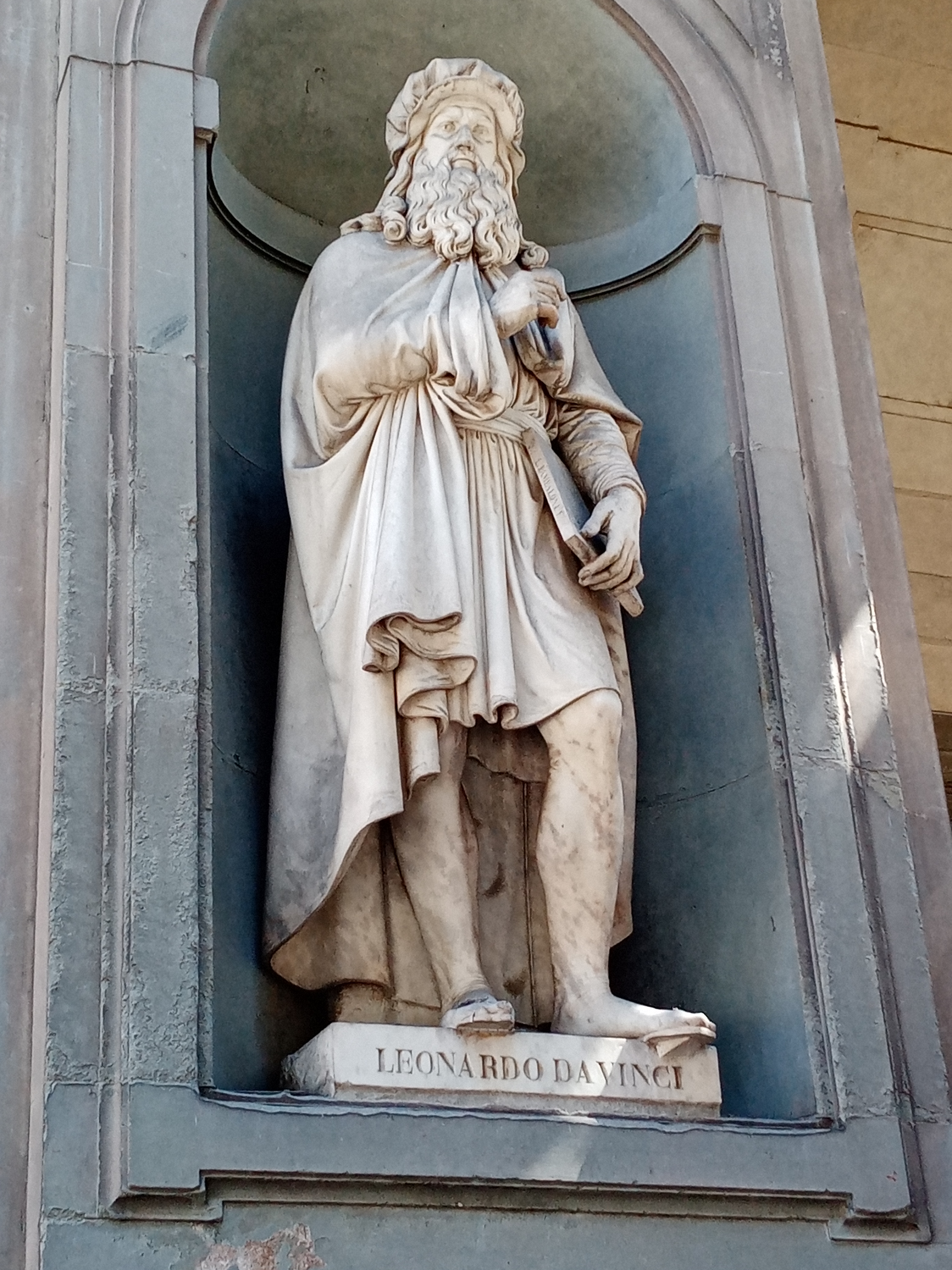
3. Culture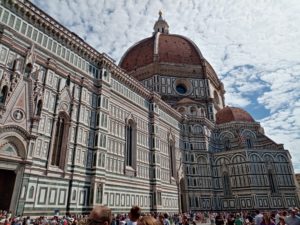
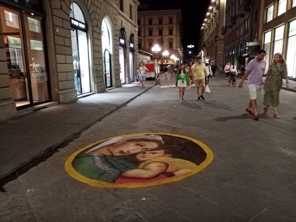
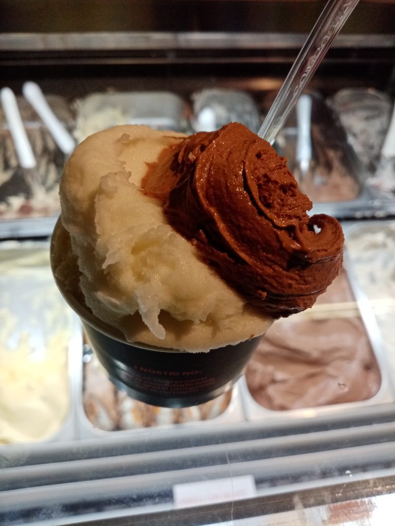
Firenze was an amazing choice of location for both SOTM and FOSS4G. As one person jokingly said, the whole city is a piece of art. I had a chance to visit some of the sites, taste some good food and of course, drink some fine Italian wine. In short, Firenze was good for me and I enjoyed my stay there.
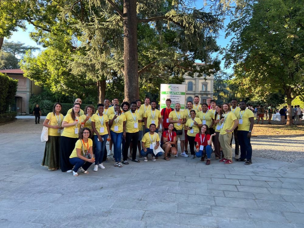
HOT Unsummit 2022
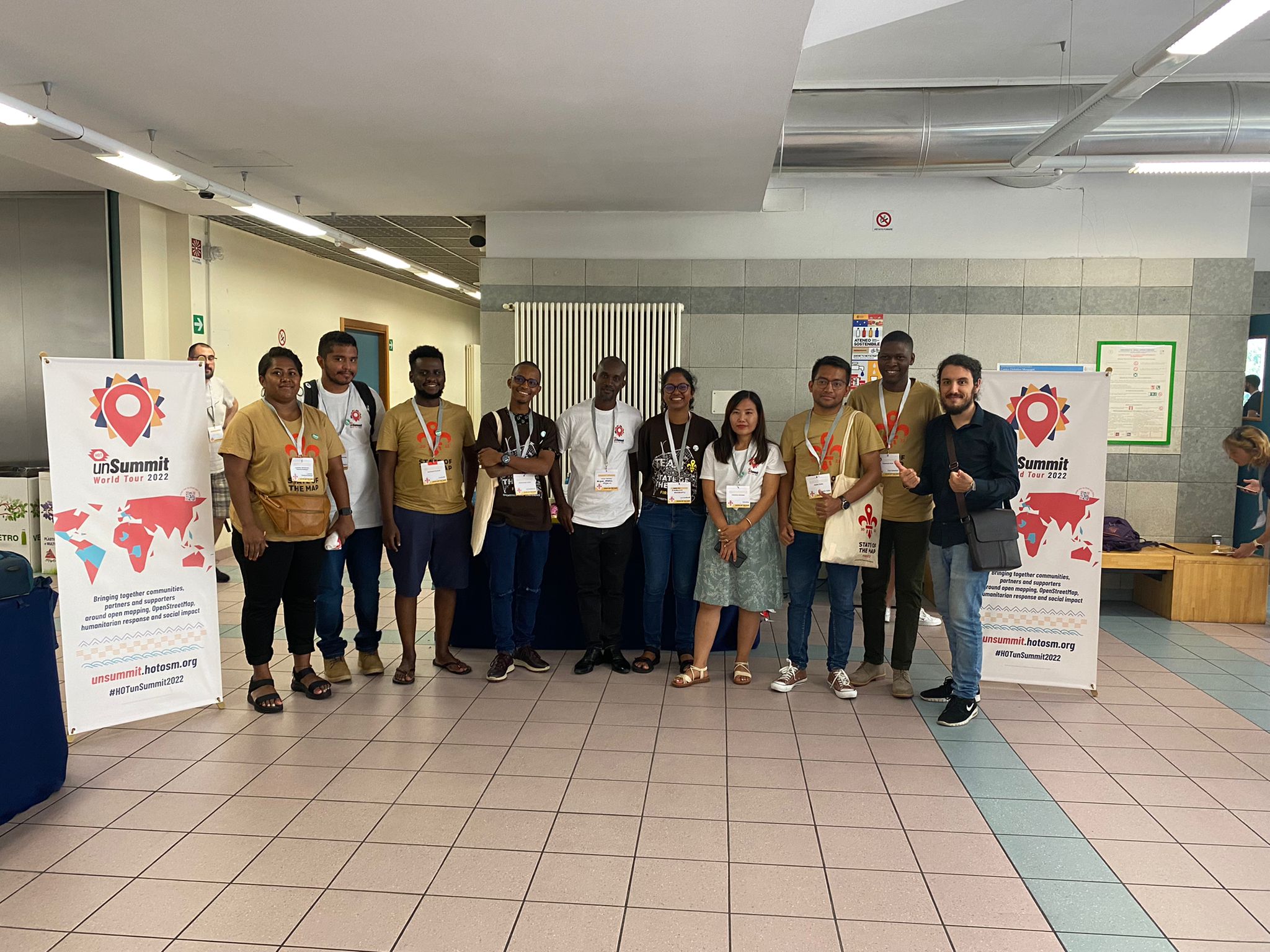
All that I have shared above wouldn’t have been possible if it wasn’t for the HOT unsummit travel grant that made it possible for me and the other 14 scholars representing different communities around the World to attend both SOTM and FOSS4G. All that we needed for our travel was taken care of and we had an amazing team that coordinated the whole process and made it successful. I want to thank HOT through the Unsummit 2022 travel grant program for making this possible for us. Ciao!!
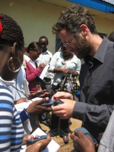 10 years ago Erica Hagen and I were getting ready to start Map Kibera. I read Planet of Slums, was buying laptops on the way to the airport after Crisis Mappers, getting excellent guidance and connections from Ushahidi, and feeling completely overwhelmed. Before we even started, the project was being celebrated in the global media. Heading to Nairobi’s largest slum to make a map. What had we signed up for? I’m looking back on the experience myself now 10 years on, after 6 weeks in a much changed Nairobi.
It’s way way more than I ever imagined. We intended to stay for a month. Through muddy days and very spotty internet, the map took beautiful shape. Zach Muindre and Lucy Fondo and 11 more young people from the 13 villages of Kibera got excited about mapping. That was never going to be enough. That map by itself did not do enough for the people of Kibera, and we felt a deep responsibility to see this work through. We wanted to make the connection to change, for the order and chaos, invention and despair, that city within a city, Kibera. To keep putting the people of the Kibera community in the driving seat on what data was important to them and how it should be used. That impulse quickly inspired citizen reporting and data journalism, with Kibera News Network, still led by Joshua Ogure, and Voice of Kibera.Â
I wrote this in 2013:
In all honesty, the work Map Kibera has set for itself is extremely difficult, steps beyond what is normally attempted, and we have had our share of bumps and scrapes. But anything worth doing takes patience and perseverance, adaptation and learning. We carry on, and we’re ready for what’s next.
Building a team. Mapping and mapping again. Telling stories. Bringing together people to think about data and place. Training and riding the wave of new technologies. Putting maps on walls. Taking the world’s biggest and smallest stages. Fundraising and reporting. Strategic plan after plan. Building several versions of organizations. Advocating to government. Argument. Stress. Triumph. Sometimes all in the course of one day.
After 10 years, has Map Kibera changed Kibera? Yes there’s been significant contribution over the decade in Kibera. And around the world. We’re certainly not done, 10 more years for sure. It’s certainly hard to assess the impact of 10 years. Here’s a few ways I look at it.
Personally, I’ve carted recovered organization documents in a wheelbarrow across Kibera, fended off local youth looking for payment for “securityâ€, waited for ages for a government official to sign a letter, met with ambassadors, and a thousand other unique experiences I never would have had otherwise. I got to know a unique place well.
There’s the data. I’m not going to try to quantify it, but it’s both wide in location and deep in the detail collected. Kibera was mapped and mapped again. Almost all of the slums in Nairobi — Mathare, Mukuru, Kangemi, and others — mapped. Outside of Nairobi, cities and rural areas across Kenya, from Kwale to Baringo, have been mapped. Not just mapped, but mapped by and for community members in each of those places. And the places in between, by the OSM community, inspired and connected by Map Kibera’s pioneering work. All of this data within the infrastructure and community of the global OpenStreetMap project, the foundation of all this work.
It took 3 years for me to feel at last satisfied that Map Kibera had an impact in Kibera itself. It takes at least that time to build trust, to show that an effort is not a flash in the pan, and figure out exactly how something as abstract as data and maps can make a contribution. The 2013 election saw mapping for peaceful elections, building strong networks, distribution of maps within the community and to security services and government, debates and interviews with candidates, monitoring and reporting through all phases of the election — from registration, primaries, campaigning, elections, results, and follow up — after the national and international media left. It made a difference. Voice of Kibera and Kibera News Network really found their stride, reporting from polling stations, and doing video interviews with candidates. OpenSchoolsKenya brought visibility to all kinds of schools in Kibera (and Mathare and Kangemi), that parents, teachers, administrators, and government lacked. Kibera is currently mourning the loss of MP Ken Okoth, who championed the work of Map Kibera and put schools data to work to successfully advocate for more educational resources. There were many other projects that had an influence on water and sanitation, health, food security — their impact less visible, behind the scenes. This data has been used by organizations large and small to orient, track and ground work in all these places. We know of some of them, but so many more we have no idea about because the maps are open to all.
Male erection is a complex process. It involves the male brain, nerves, hormones and blood vessels. Erectile dysfunction may indicate a malfunction of any of these elements. When you are going to start taking Cialis 20mg tablets, consult with your doctor first and inform him about your health issues. And stop taking Cailis immediately if you feel not good after intake of this medication. Erectile dysfunction is an indicator that one of these systems is malfunctioning and may be a disease.
All of this progress requires money and an organization. From JumpStart International’s small bet on us at the beginning, to Unicef, US Institute of Peace, Hivos, Omidyar, Plan, Indigo Trust, World Bank, Map Kibera has had the attention and resources of international development. We are deeply appreciative. And deeply challenged. Matching a project rooted in grassroots community to global development has not been easy. The project cycles and organizational expectations don’t fit long term community development. Looking back now on countless proposals, work plans, reports, strategic planning sessions, organizational charts. And we did not come to this experienced in building organizations, and made our biggest mistakes in misapplying parts of models of a worker’s cooperative, community organization, traditional NGO, and company, lately finding stride in a combination of those. For the past 5 years, Erica has focused so much effort to pull this work together, as have Joshua and Zack, who have devoted themselves on a day to day basis well beyond the call of duty to keep the vision alive. Map Kibera remains deeply focused on Kibera, while being the leading organization for developing community mapping across Kenya, as well as globally networked and linked. It’s not easy to connect a grassroots community effort to a global perspective and industries. I think they’ve finally found an operational groove 10 years on.
Around the world, Map Kibera became an inspiration for a new kind of community mapping, one that was simultaneously rooted in community development, and also integrated into the global data infrastructure of OpenStreetMap. Map Kibera has served as a template and model for countless other projects. As Erica and I began our return trip to Kenya in January 2010 to work with Map Kibera for another year, Haiti was struck by an earthquake, and Humanitarian OpenStreetMap Team’s first effective activation began. After many stolen early morning moments during our “vacation†coordinating the Haiti response, I helped plan post-emergency activities of HOT on the ground in Haiti, modeled directly on Map Kibera. The Map Kibera team also started the OSM mapping effort in Dar es Salaam, in Tandale, which has now covered the whole city of Dar for flood risk mapping. It was our mapper Lucy, still a key Map Kibera team member, who traveled to Dar to train communities in OSM back in 2011. Regularly, even just last month, I hear from people starting mapping projects inspired by Map Kibera.
This influence flowed from an incredibly strong story — young people putting this large and famous and yet “invisible†settlement on the map. Map Kibera has been profiled by CNN, PBS, New Scientist, National Geographic, Wired, Al Jazeera, Le Monde, and The Guardian. It’s taught in schools, every geography undergrad seems to watch The Geospatial Revolution — it’s even a part of on-boarding for some teams at Mapbox. Map Kibera has been featured in the Smithsonian and other museum exhibits, in popular science books and coffee table books of critical cartography. It’s been referenced in hundreds of research publications. Though I happen to believe the best research on Map Kibera has been done by its practitioner, with Erica authoring good pieces early on for MIT, and more recent learning retrospective for Making All Voices Count. Erica has told the Map Kibera story on the TED Stage. I’ve shared in Seoul, Zach has presented in Hyderabad, and Josh everywhere from New York to Azerbaijan.
But ultimately, the best way I know to track the influence is in the people we’ve gotten to work with. Impossible to name them all. Some have come and gone, and some have stayed all the way through — Zach and Lucy are still mapping, training government officials, and leading the roll out of projects. Josh is the general manager and has brought KNN to a level on par with professional news agencies, along with Steve Banner and Jacob Ouma, who also have been with us from the early days. They are now as old as I was when this all started. Erica — who dropped everything to come to Kenya with me, then married me, and who has put everything into continuing the effort even after my attention has gone elsewhere. Unbelievable to think back to the 13 young kids who took a chance on this crazy project.Â
So we’re going to celebrate and I hope to see everyone. Map Kibera is throwing a party tonight, August 16 to celebrate the first 10 years, and 15 years of OpenStreetMap. Find the details here and let is know if you’ll join us to raise a glass to 10 years of Map Kibera.